情報提供
How to Use
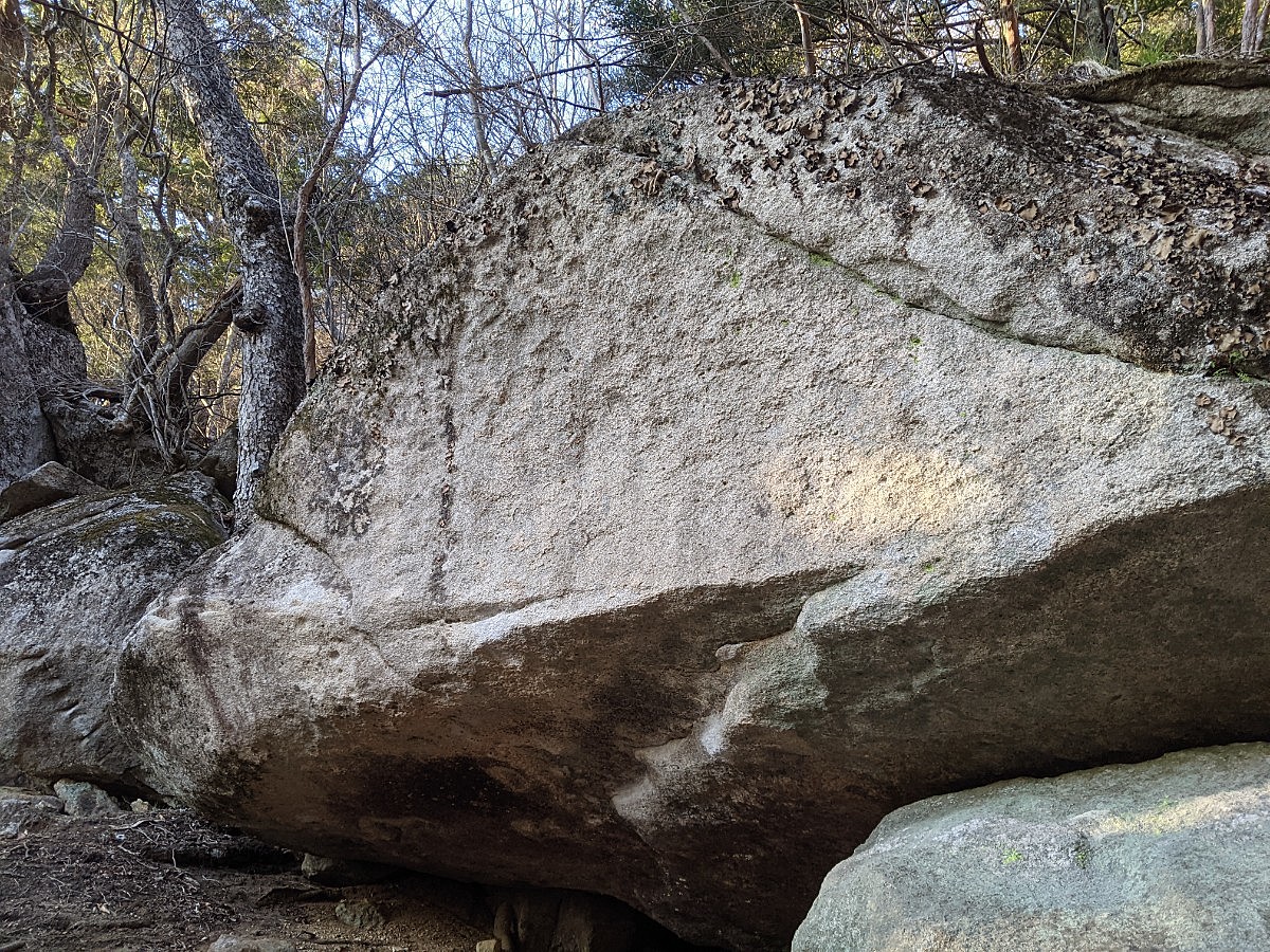
空洞の岩と周辺
Checked in at 瑞牆山ボルダー today:
0
Basic Info
| Area Info | 山梨県 / 瑞牆山ボルダー 大面岩下エリア / |
|---|---|
| GPS Location | 35.89255,138.58398 |
| Elevation |
Approx. 1692 m
Parking Elevation Approx. 1471 m(Diff:221 m) |
| Distance from Parking | 998 m |
Route Distribution
Tap the bar chart to view routes for each grade.
ボルダー(8 routes)Routes
Tap red lines to show the route card
-
空洞の岩
-
教理の岩
-
-
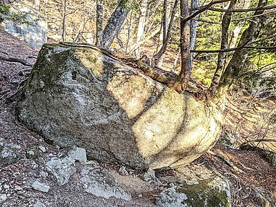
イデオンの岩

Loading...
動画
-
※自動抽出の動画
-
※自動抽出の動画
-
※自動抽出の動画
-
※自動抽出の動画
Nearby Crags
ベシミハングと周辺の岩
瑞牆山ボルダー
大面岩下エリア
35.89238
138.58372
0
11
0
0
0
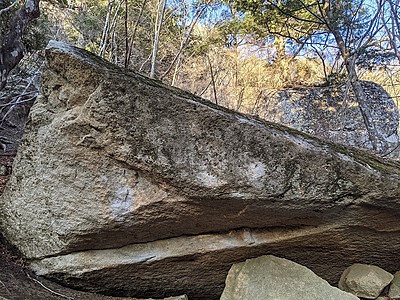
ベシミハングと周辺の岩
- 瑞牆山ボルダー / 大面岩下エリア
- タイプ別: B11
- 標高: 約 1674 m
- 駐車場から: 遠め 598.8592911911950011
不可視の岩
瑞牆山ボルダー
大面岩下エリア
35.89296
138.58409
0
1
0
0
0
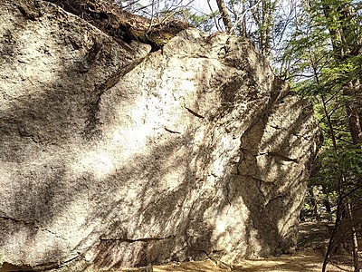
不可視の岩
- 瑞牆山ボルダー / 大面岩下エリア
- タイプ別: B1
- 標高: 約 1725 m
- 駐車場から: 遠め 755.2792079099399178
ブルーレットの岩と周辺
瑞牆山ボルダー
大面岩下エリア
35.89288
138.58351
0
4
0
0
0
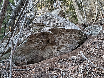
ブルーレットの岩と周辺
- 瑞牆山ボルダー / 大面岩下エリア
- タイプ別: B4
- 標高: 約 1695 m
- 駐車場から: 遠め 635.0334765454019424
生命力の岩とその周辺
瑞牆山ボルダー
大面岩下エリア
35.8926
138.58331
1
13
0
0
0
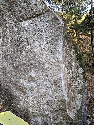
生命力の岩とその周辺
1
- 瑞牆山ボルダー / 大面岩下エリア
- タイプ別: B13
- 標高: 約 1672 m
- 駐車場から: 遠め 566.6651740135377468
Decidedの岩と周辺
瑞牆山ボルダー
大面岩下エリア
35.89203
138.58421
0
6
0
0
0
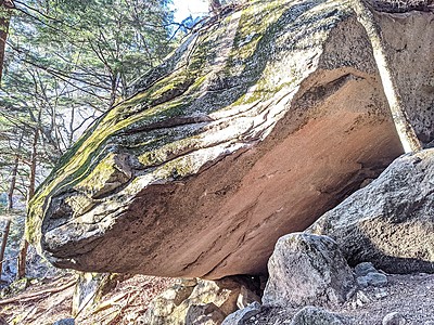
Decidedの岩と周辺
- 瑞牆山ボルダー / 大面岩下エリア
- タイプ別: B6
- 標高: 約 1703 m
- 駐車場から: 遠め 723.484965462896856
Riseの岩周辺
瑞牆山ボルダー
大面岩下エリア
35.89248
138.58258
0
5
0
0
0
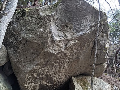
Riseの岩周辺
- 瑞牆山ボルダー / 大面岩下エリア
- タイプ別: B5
- 標高: 約 1627 m
- 駐車場から: そこそこ 414.1862087038728156
限られた時間の岩
瑞牆山ボルダー
大面岩下エリア
35.89223
138.58186
0
3
0
0
0
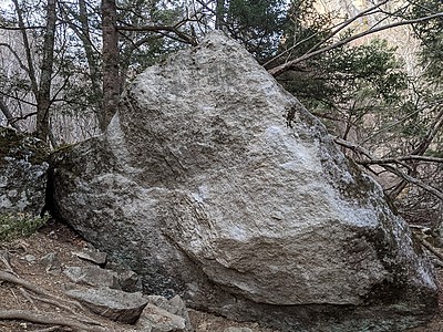
限られた時間の岩
- 瑞牆山ボルダー / 大面岩下エリア
- タイプ別: B3
- 標高: 約 1612 m
- 駐車場から: そこそこ 355.2283477604797416
ジャイアンとパンダ周辺
瑞牆山ボルダー
大面岩下エリア
35.89181
138.58151
0
15
0
0
0
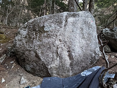
ジャイアンとパンダ周辺
- 瑞牆山ボルダー / 大面岩下エリア
- タイプ別: B15
- 標高: 約 1592 m
- 駐車場から: そこそこ 303.6683040430181637
Loading...
 Tap the Share button (a square with an arrow) at the bottom of the screen. If you can't find it, tap "…" and select "Share"