
情報提供
How to Use
岩小屋の横のボルダー
Checked in at 瑞牆山ボルダー today:
0
Basic Info
| Area Info | 山梨県 / 瑞牆山ボルダー 植樹祭エリア付近 / |
|---|---|
| GPS Location | 35.89598,138.57771 |
| Elevation |
Approx. 1524 m
Parking Elevation Approx. 1471 m(Diff:53 m) |
| Distance from Parking | 362 m |
Route Distribution
Tap the bar chart to view routes for each grade.
ボルダー(5 routes)Routes
Tap red lines to show the route card
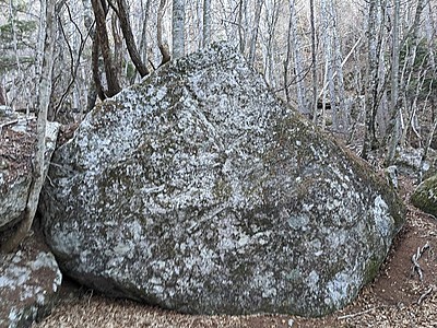
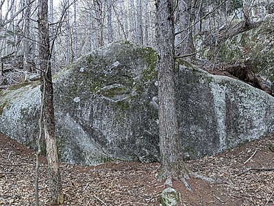
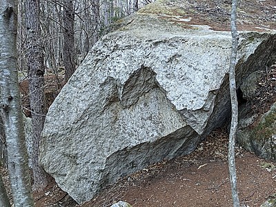

Loading...
Nearby Crags
割れ岩
瑞牆山ボルダー
植樹祭エリア付近
35.89578
138.57783
0
3
0
0
0
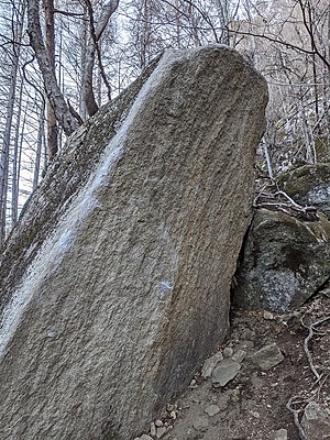
割れ岩
- 瑞牆山ボルダー / 植樹祭エリア付近
- タイプ別: B3
- 標高: 約 1528 m
- 駐車場から: 近め 63.6973769134913418
岩小屋
瑞牆山ボルダー
植樹祭エリア付近
35.89595
138.57739
0
9
0
0
0
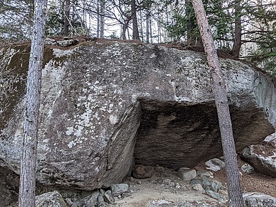
岩小屋
- 瑞牆山ボルダー / 植樹祭エリア付近
- タイプ別: B9
- 標高: 約 1518 m
- 駐車場から: 近め 46.9289705978431857
ガリガリ君横のボルダー
瑞牆山ボルダー
植樹祭エリア付近
35.89661
138.57745
1
7
0
0
0
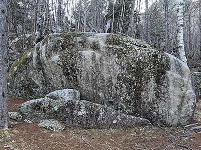
ガリガリ君横のボルダー
1
- 瑞牆山ボルダー / 植樹祭エリア付近
- タイプ別: B7
- 標高: 約 1526 m
- 駐車場から: 近め 57.4375521721817145
ねじねじの岩場
瑞牆山ボルダー
植樹祭エリア付近
35.895331
138.5781504
0
1
0
0
0
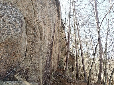
ねじねじの岩場
- 瑞牆山ボルダー / 植樹祭エリア付近
- タイプ別: B1
- 標高: 約 1568 m
- 駐車場から: 近め 118.0483324652988678
材木岩
瑞牆山ボルダー
植樹祭エリア付近
35.896785231387256
138.57779195949794
0
5
0
0
0
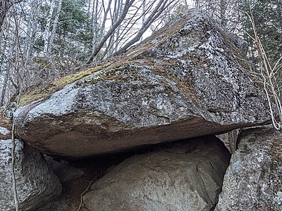
材木岩
- 瑞牆山ボルダー / 植樹祭エリア付近
- タイプ別: B5
- 標高: 約 1534 m
- 駐車場から: 近め 72.3633978053645316
ガリガリ岩
瑞牆山ボルダー
植樹祭エリア付近
35.8968
138.57746
2
7
0
0
0
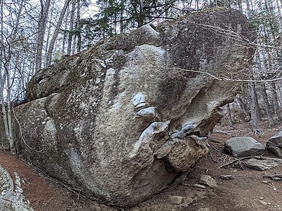
ガリガリ岩
2
- 瑞牆山ボルダー / 植樹祭エリア付近
- タイプ別: B7
- 標高: 約 1527 m
- 駐車場から: 近め 59.5724710328643336
材木岩横のボルダー
瑞牆山ボルダー
植樹祭エリア付近
35.89691
138.57768
0
2
0
0
0
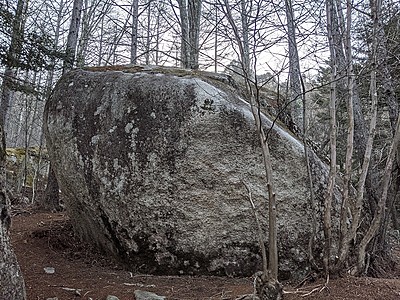
材木岩横のボルダー
- 瑞牆山ボルダー / 植樹祭エリア付近
- タイプ別: B2
- 標高: 約 1535 m
- 駐車場から: 近め 72.42269313257472
一本桜岩
瑞牆山ボルダー
植樹祭エリア付近
35.89825
138.57804
0
6
0
0
0
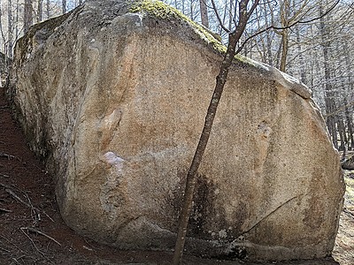
一本桜岩
- 瑞牆山ボルダー / 植樹祭エリア付近
- タイプ別: B6
- 標高: 約 1547 m
- 駐車場から: 近め 107.8028956623515136
Loading...
 Tap the Share button (a square with an arrow) at the bottom of the screen. If you can't find it, tap "…" and select "Share"