情報提供
How to Use
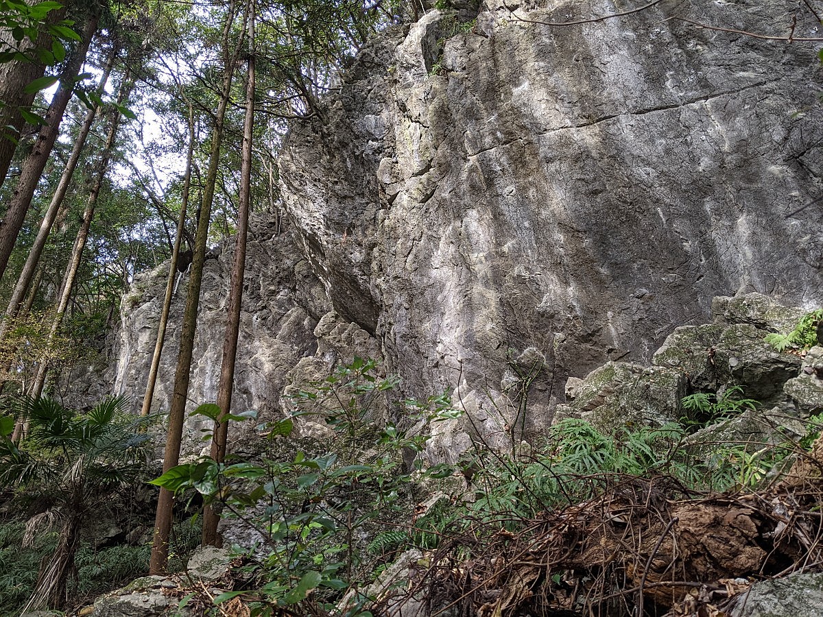
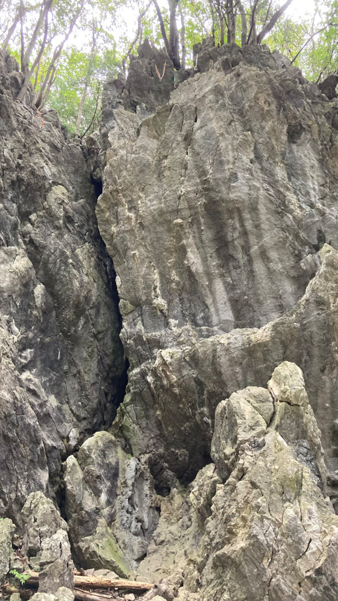

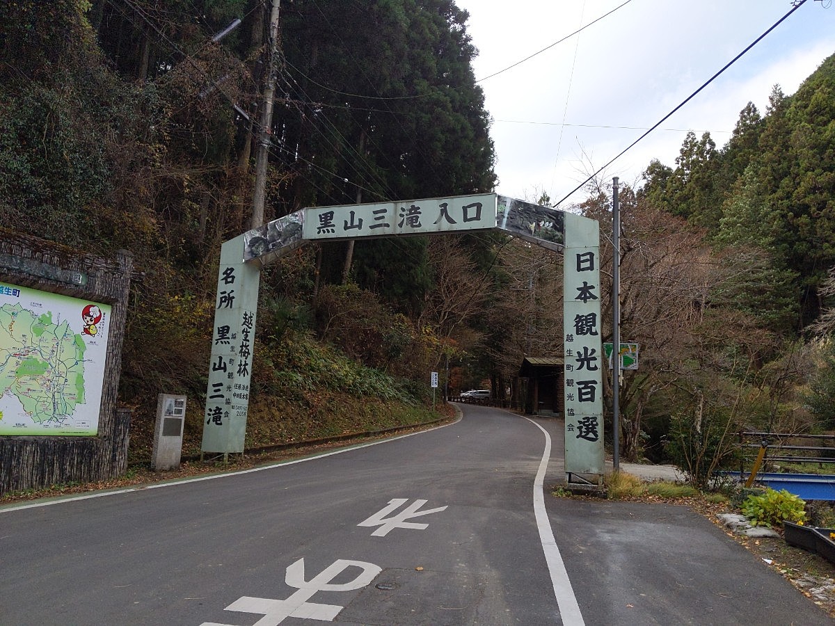
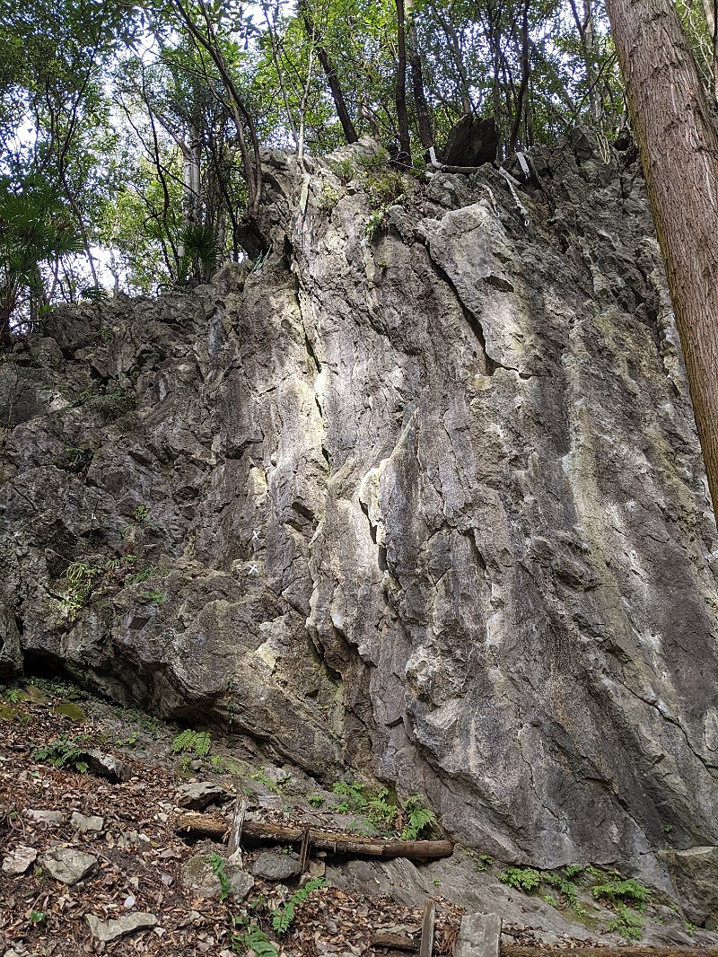
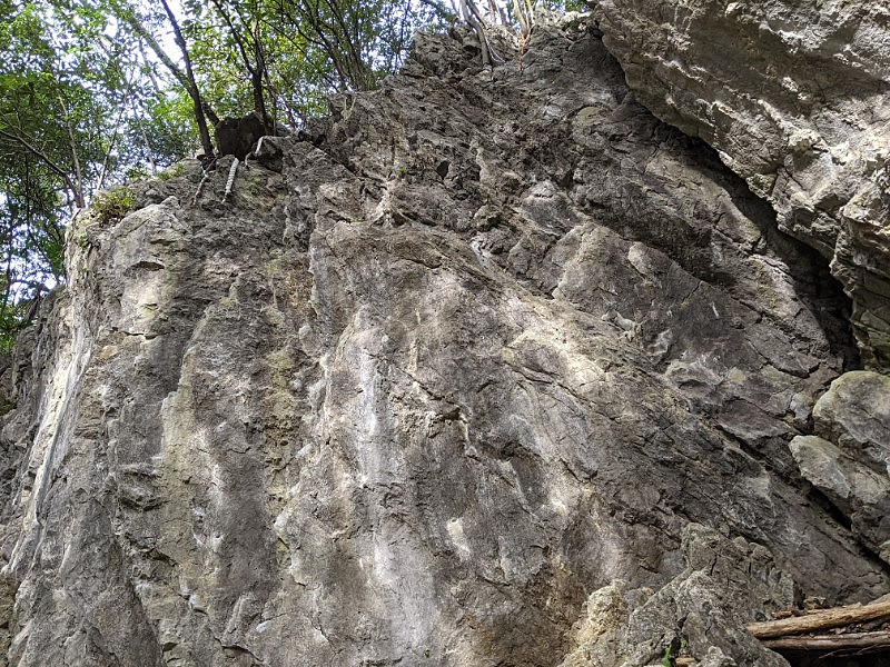
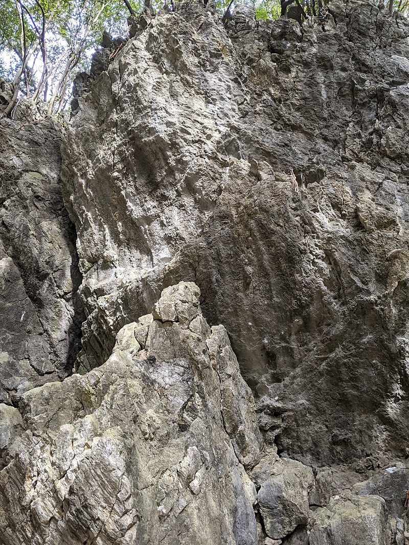
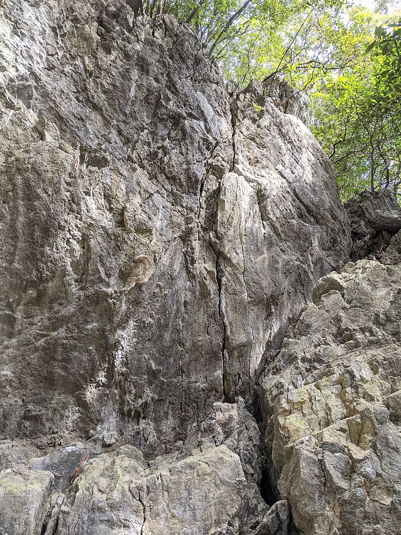
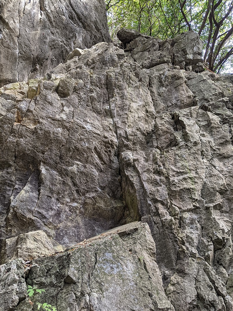
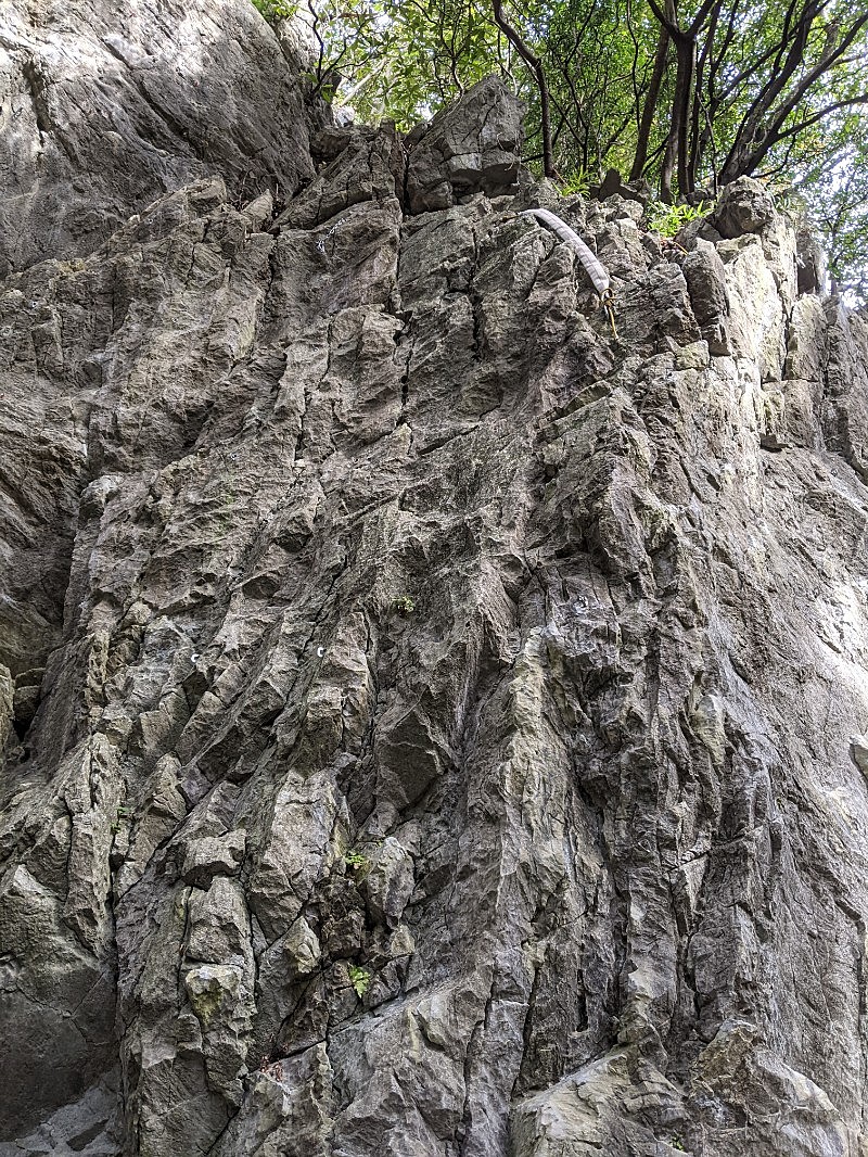
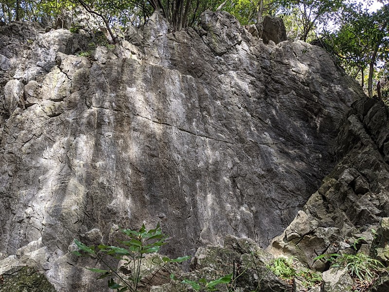
黒山・聖人岩
Basic Info
| Area Info | 埼玉県 / 聖人岩 |
|---|---|
| GPS Location | 35.9355579,139.2563765 |
| Elevation |
Approx. 280 m
Parking Elevation Approx. 178 m(Diff:102 m) |
| Distance from Parking | 527 m |
Route Distribution
Tap the bar chart to view routes for each grade.
リード(フェイス)(30 routes)Routes
Tap red lines to show route name and grade
簡単
5.10台
5.11台
クラック
フェイス
ウォーミングアップ
リード(フェイス)
5.10c
4
0
0
3
35.9355579
139.2563765
ルミちゃんは気が早い
リード(フェイス)
5.11a
6
1
0
2
35.9355579
139.2563765
ダイエット・シェイク
リード(フェイス)
5.10a
3
0
0
2
35.9355579
139.2563765
貂が見ていた
リード(フェイス)
5.11b
12
1
0
5
35.9355579
139.2563765
.jpg)
天使の誘惑(耳ルート)
リード(フェイス)
5.11c
4
1
0
1
35.9355579
139.2563765
Loading...
動画
-
※自動抽出の動画
-
※自動抽出の動画
-
※自動抽出の動画
-
※自動抽出の動画
-
※自動抽出の動画
Comments
No comments yet.
Post Comment
×