情報提供
How to Use
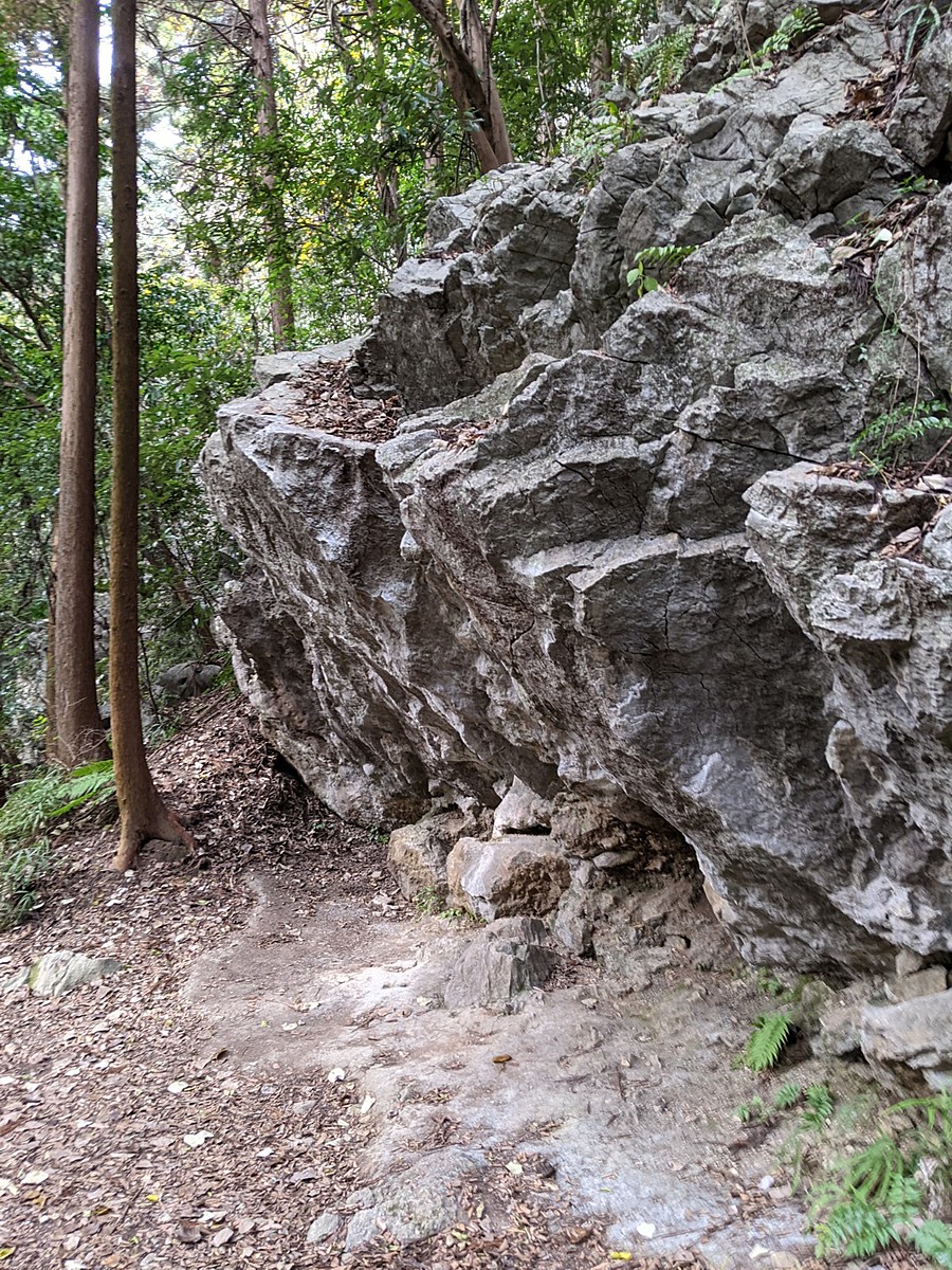
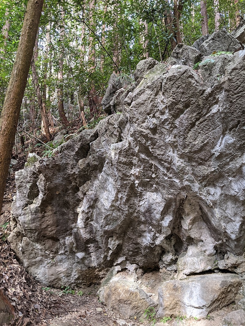
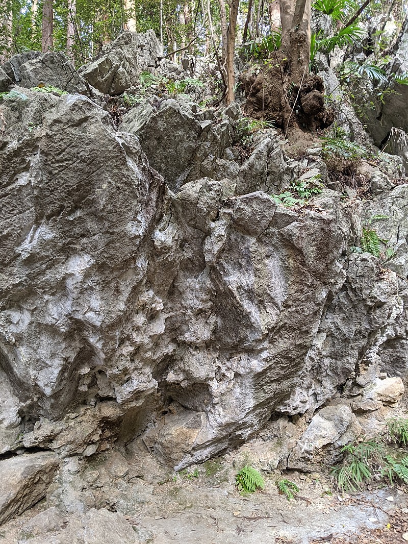
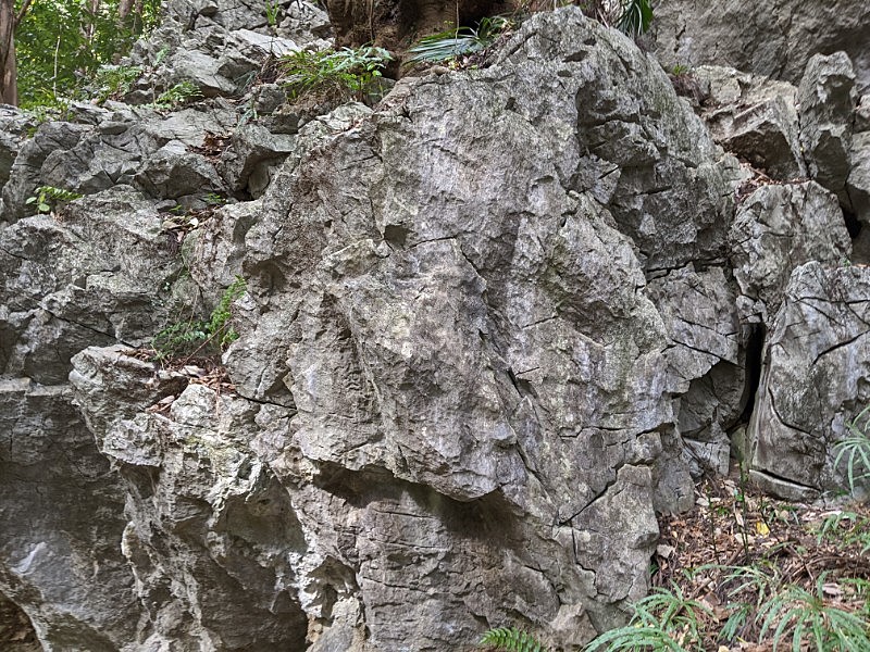
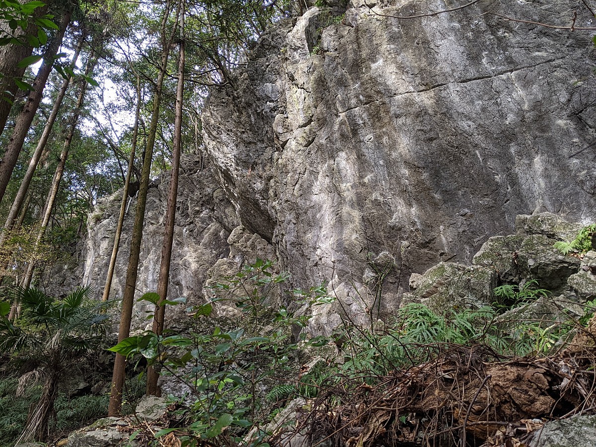
聖人ボルダー
Basic Info
| Area Info | 埼玉県 / 聖人岩 |
|---|---|
| GPS Location | 35.9353011,139.2565011 |
| Elevation |
Approx. 254 m
Parking Elevation Approx. 178 m(Diff:76 m) |
| Distance from Parking | 555 m |
Route Distribution
Tap the bar chart to view routes for each grade.
ボルダー(7 routes)Routes
Tap red lines to show route name and grade
簡単
4~3級
2~1級
~三段

Loading...
動画
-
※自動抽出の動画
-
※自動抽出の動画
-
※自動抽出の動画
-
※自動抽出の動画
Comments
No comments yet.
Post CommentNearby Crags
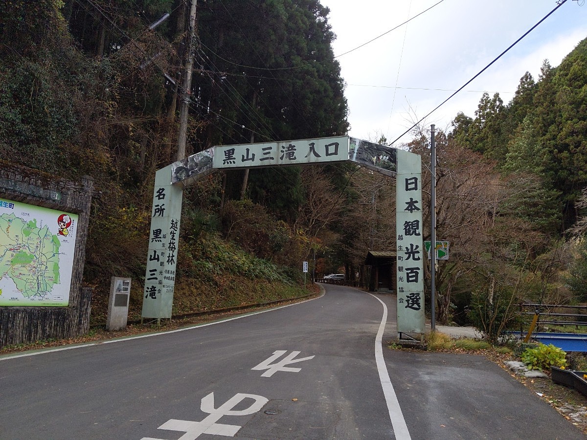
黒山・聖人岩
聖人岩
35.9355579
139.2563765
0
0
30
0
0
黒山・聖人岩
- 聖人岩
- タイプ別: F30
- 難易度別: E9 M17 H4
- 駐車場から: そこそこ 161.2910637426644154
Loading...
×