
情報提供
How to Use
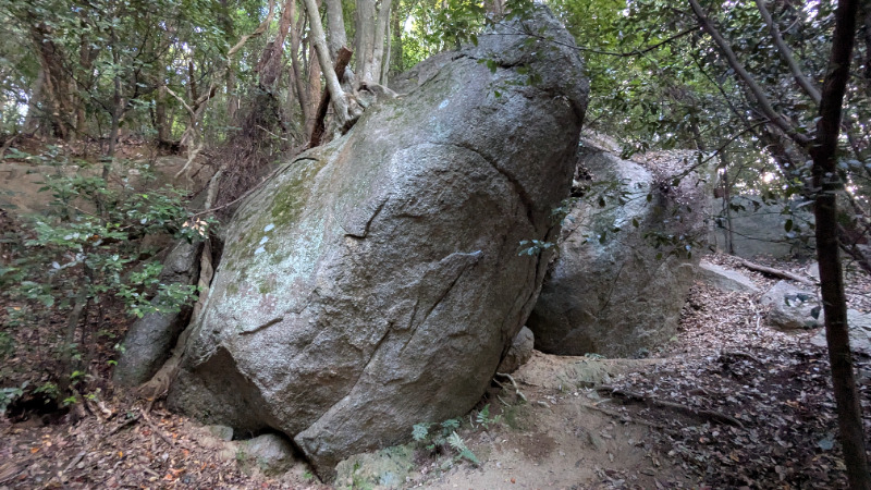
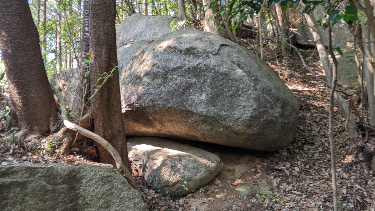
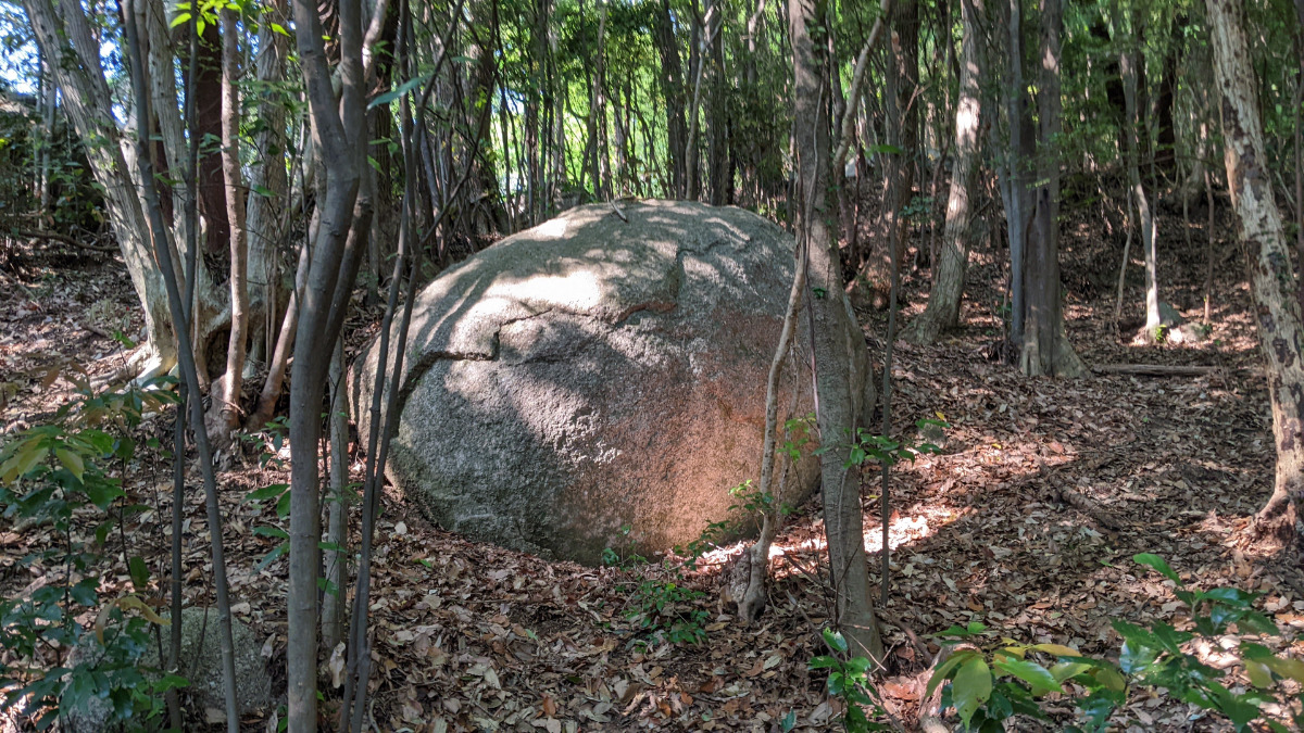
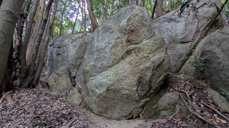
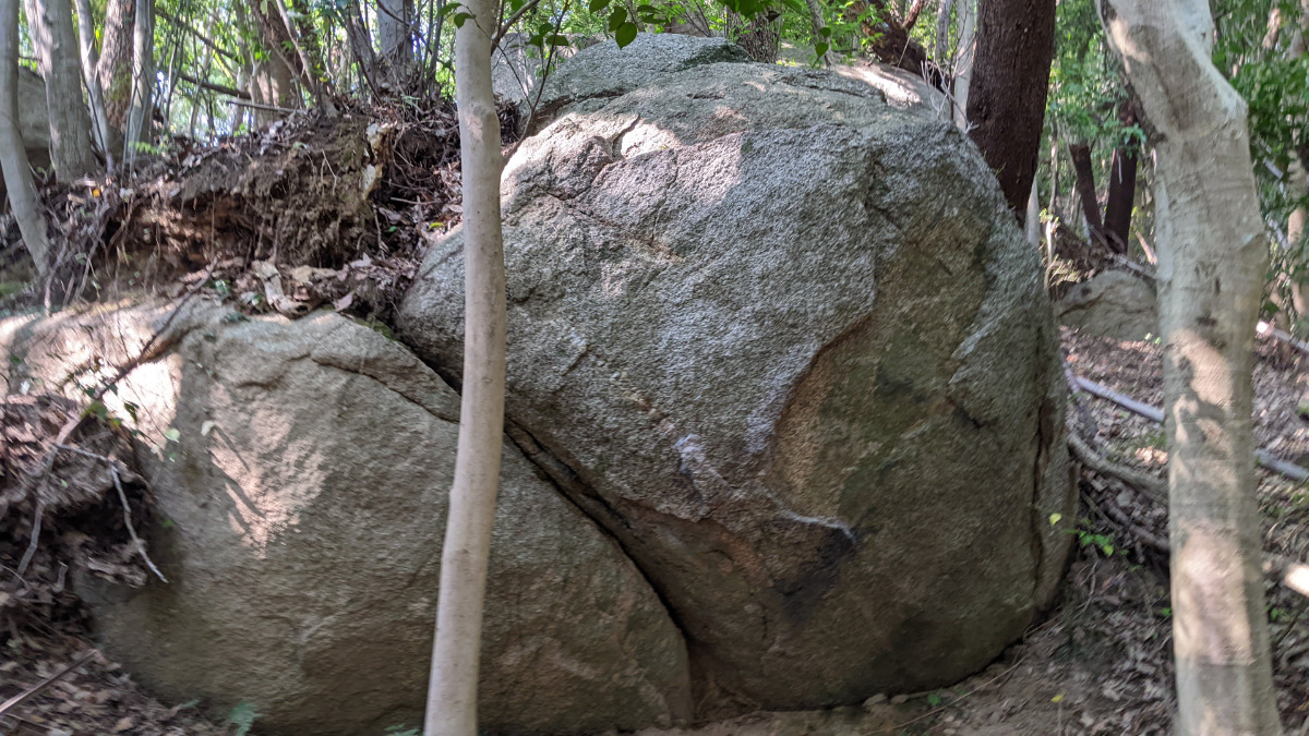
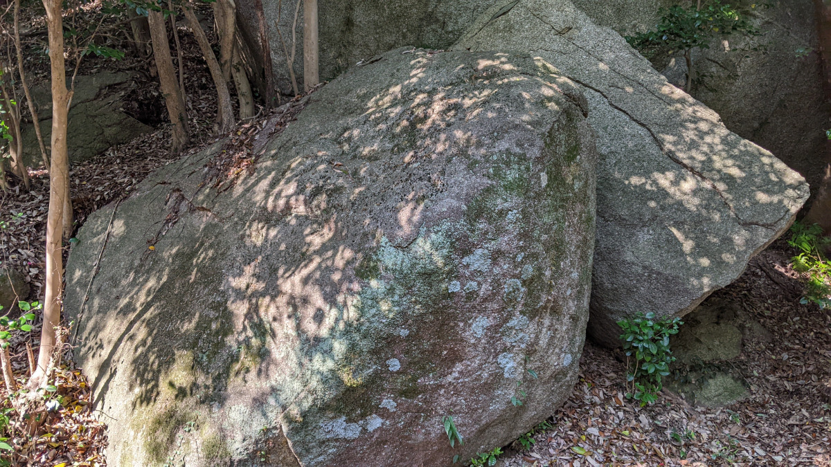
BBロック
Basic Info
| Area Info | 愛知県 / 豊田 大楠林道エリア / |
|---|---|
| GPS Location | 35.0783724,137.2569404 |
| Elevation |
Approx. 218 m
Parking Elevation Approx. 157 m(Diff:61 m) |
| Distance from Parking | 518 m |
Route Distribution
Tap the bar chart to view routes for each grade.
ボルダー(6 routes)Routes

No topo photo yet.
Add Crag Photo to improve the topo!
Add Photo for This Crag
* Account required to add photos.
※写真と課題のラインを登録する事で、こちらのページのように課題の位置が分かるようになります。
簡単
4~3級
2~1級
~三段
Loading...
Comments
No comments yet.
Post CommentNearby Crags
紋ロック
豊田
大楠林道エリア
35.0785604
137.2571288
0
9
0
0
0
紋ロック
- 豊田 / 大楠林道エリア
- タイプ別: B9
- 難易度別: E1 M3 H5
- 駐車場から: 近め 117.731654487581436
丸太ロック
豊田
大楠林道エリア
35.0784874
137.2566591
0
2
0
0
0
丸太ロック
- 豊田 / 大楠林道エリア
- タイプ別: B2
- 難易度別: M2
- 駐車場から: 近め 88.46194748924961
段々岩・トンネルロック・釣りバカロック
豊田
大楠林道エリア
35.07828963296884
137.25662559364886
0
8
0
0
0
段々岩・トンネルロック・釣りバカロック
- 豊田 / 大楠林道エリア
- タイプ別: B8
- 難易度別: E4 M4
- 駐車場から: 近め 69.7724230854707514
岩男君ロック・ターミネーターロック
豊田
大楠林道エリア
35.0784663
137.256581
0
6
0
0
0
岩男君ロック・ターミネーターロック
- 豊田 / 大楠林道エリア
- タイプ別: B6
- 難易度別: E3 M3
- 駐車場から: 近め 84.963953289407394
陽だまりロック・モーニングハング・雪だるまロック
豊田
大楠林道エリア
35.0786626335592
137.25679858285352
0
10
0
0
0
陽だまりロック・モーニングハング・雪だるまロック
- 豊田 / 大楠林道エリア
- タイプ別: B10
- 難易度別: E5 M5
- 駐車場から: 近め 112.4075546066675202
駐車場上エリア
さかな君ロック、ヤッターマンロック、ラッカサンロック
豊田
大楠林道エリア
35.0781765
137.25727
0
20
0
0
0
駐車場上エリア
- 豊田 / 大楠林道エリア
- タイプ別: B20
- 難易度別: E6 M14
- 駐車場から: 近め 108.251685513274836
なんたってハング岩
豊田
大楠林道エリア
35.0782413
137.2564895
0
3
0
0
0
なんたってハング岩
- 豊田 / 大楠林道エリア
- タイプ別: B3
- 難易度別: E1 M2
- 駐車場から: 近め 63.1954125276356232
道際岩
豊田
大楠林道エリア
35.078142924021016
137.25652569503276
0
6
0
0
0
道際岩
- 豊田 / 大楠林道エリア
- タイプ別: B6
- 難易度別: E2 M4
- 駐車場から: 近め 55.3033584321260328
Loading...
×