
情報提供
How to Use
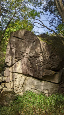
きなこの岩と周辺
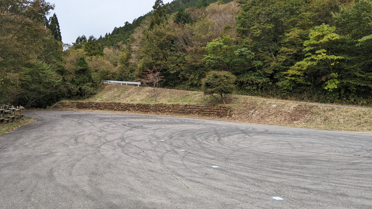
Checked in at フクベ today:
0
Basic Info
| Area Info | 岐阜県 / フクベ 上流・川エリア / |
|---|---|
| GPS Location | 35.6404239,136.8823776 |
| Elevation |
Approx. 732 m
Parking Elevation Approx. 716 m(Diff:16 m) |
| Distance from Parking | 361 m |
| Favorites |
1
|
 kotanit
Route Distribution
Tap the bar chart to view routes for each grade.
ボルダー(5 routes)Routes
Tap red lines to show the route card
-
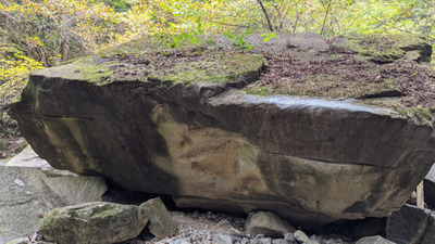
きなこの岩
-
-
-
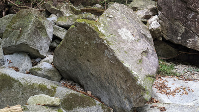
きなこ周辺
Loading...
動画
-
※自動抽出の動画
-
※自動抽出の動画
-
※自動抽出の動画
-
※自動抽出の動画
Nearby Crags
ミサイルの岩周辺
フクベ
上流・川エリア
35.6401152
136.8840054
0
13
0
0
0
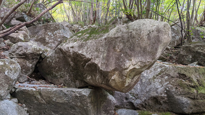
ミサイルの岩周辺
- フクベ / 上流・川エリア
- タイプ別: B13
- 標高: 約 722 m
- 駐車場から: 近め 3.7792278880281216
イルカ岩周辺
フクベ
上流・川エリア
35.639464
136.8846243
0
4
0
0
0
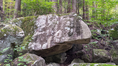
イルカ岩周辺
- フクベ / 上流・川エリア
- タイプ別: B4
- 標高: 約 707 m
- 駐車場から: 近め -3.8996122854048993
大駐車場前岩
フクベ
上流・山エリア
35.6398092
136.8865371
0
4
0
0
0
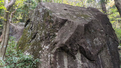
大駐車場前岩
- フクベ / 上流・山エリア
- タイプ別: B4
- 標高: 約 721 m
- 駐車場から: 近め 0.61834121338617915
三角岩周辺
がばマントル岩、三角岩、無名岩、通り雨の岩、まめ岩
フクベ
上流・川エリア
35.6377206
136.8870447
1
11
0
0
0
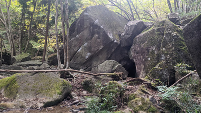
三角岩周辺
1
- フクベ / 上流・川エリア
- タイプ別: B11
- 標高: 約 651 m
- 駐車場から: 近め -42.2083252344151125
突ガバ岩・おけいこ岩
フクベ
上流・山エリア
35.6379105
136.8877511
0
7
0
0
0
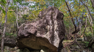
突ガバ岩・おけいこ岩
- フクベ / 上流・山エリア
- タイプ別: B7
- 標高: 約 670 m
- 駐車場から: 近め -31.5774709764195252
師走の大掃除岩
フクベ
上流・山エリア
35.6379983
136.8891204
0
3
0
0
0
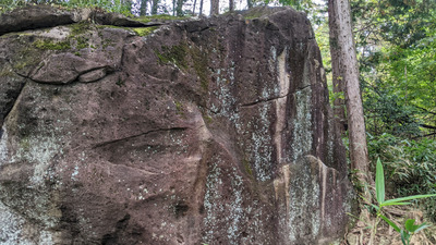
師走の大掃除岩
- フクベ / 上流・山エリア
- タイプ別: B3
- 標高: 約 682 m
- 駐車場から: 近め -32.0314490872516062
アニーロック
フクベ
上流・川エリア
35.6369233
136.8885631
0
4
0
0
0
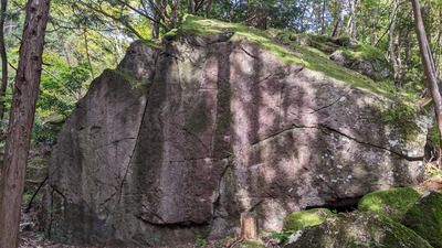
アニーロック
- フクベ / 上流・川エリア
- タイプ別: B4
- 標高: 約 645 m
- 駐車場から: 近め -76.8607254027880575
ダンカ岩
フクベ
上流・川エリア
35.6367028
136.8888361
0
3
0
0
0
ダンカ岩
- フクベ / 上流・川エリア
- タイプ別: B3
- 標高: 約 642 m
- 駐車場から: 近め -87.7487952583796412
Loading...
 Tap the Share button (a square with an arrow) at the bottom of the screen. If you can't find it, tap "…" and select "Share"