
情報提供
How to Use
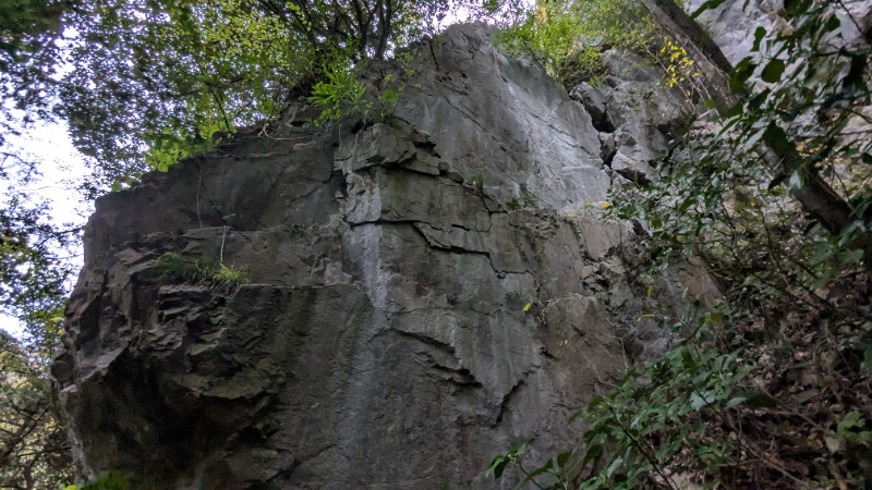
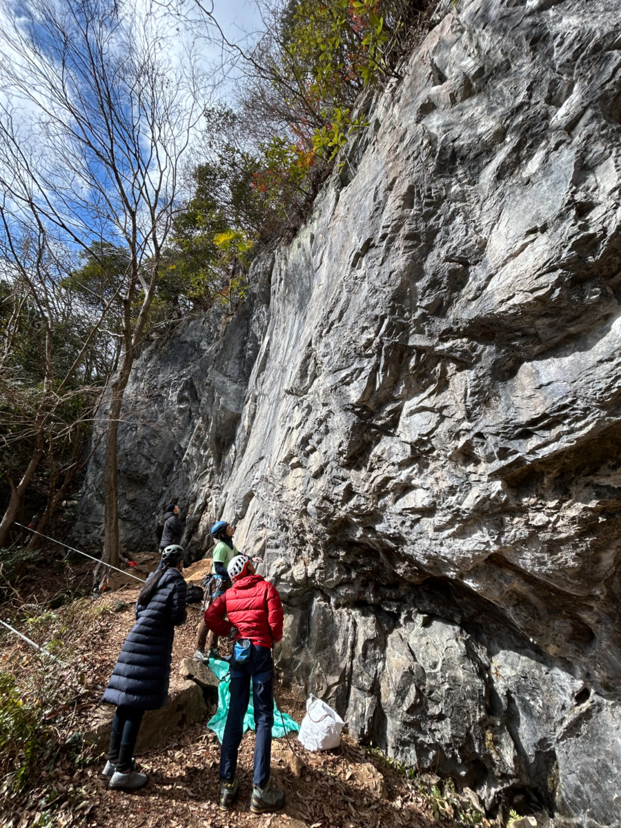
1ルンゼ
Basic Info
| Area Info | 岡山県 / 備中 用瀬の嶽 / |
|---|---|
| GPS Location | 34.78272178605403,133.48379304864017 |
| Elevation |
Approx. 128 m
Parking Elevation Approx. 100 m(Diff:28 m) |
| Distance from Parking | 90 m |
| Favorites |
1
|
Route Distribution
Tap the bar chart to view routes for each grade.
リード(フェイス)(9 routes)Routes
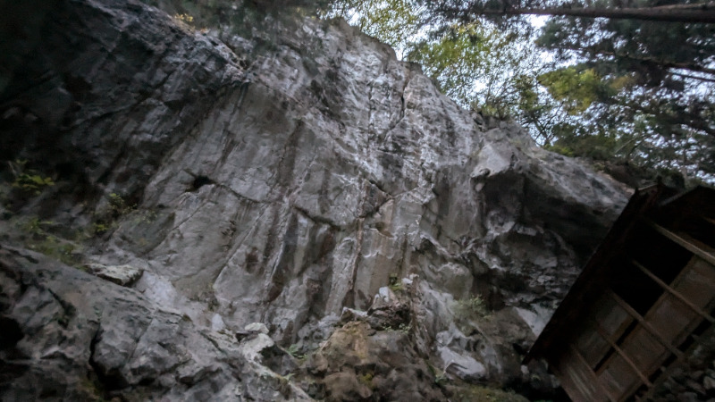
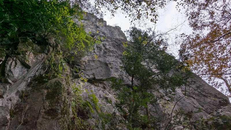
No topo photo yet.
Add Crag Photo to improve the topo!
Add Photo for This Crag
* Account required to add photos.
※写真と課題のラインを登録する事で、こちらのページのように課題の位置が分かるようになります。
簡単
5.10台
5.11台
クラック
フェイス
Loading...
Comments
No comments yet.
Post CommentNearby Crags
岡山エリア・キャンプサイド
備中
用瀬の嶽
34.7834323
133.4827129
1
0
19
0
0
岡山エリア・キャンプサイド
1
- 備中 / 用瀬の嶽
- タイプ別: F19
- 難易度別: E9 M9 H1
- 駐車場から: 近め 8.0030679025646772
2ルンゼ
備中
用瀬の嶽
34.7838677
133.4822888
1
0
20
0
0
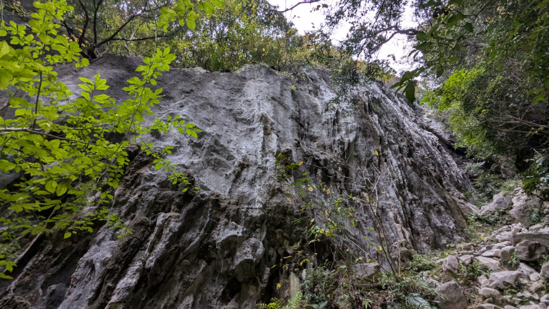
2ルンゼ
1
- 備中 / 用瀬の嶽
- タイプ別: F20
- 難易度別: E2 M12 H6
- 駐車場から: 近め 10.43038781059317
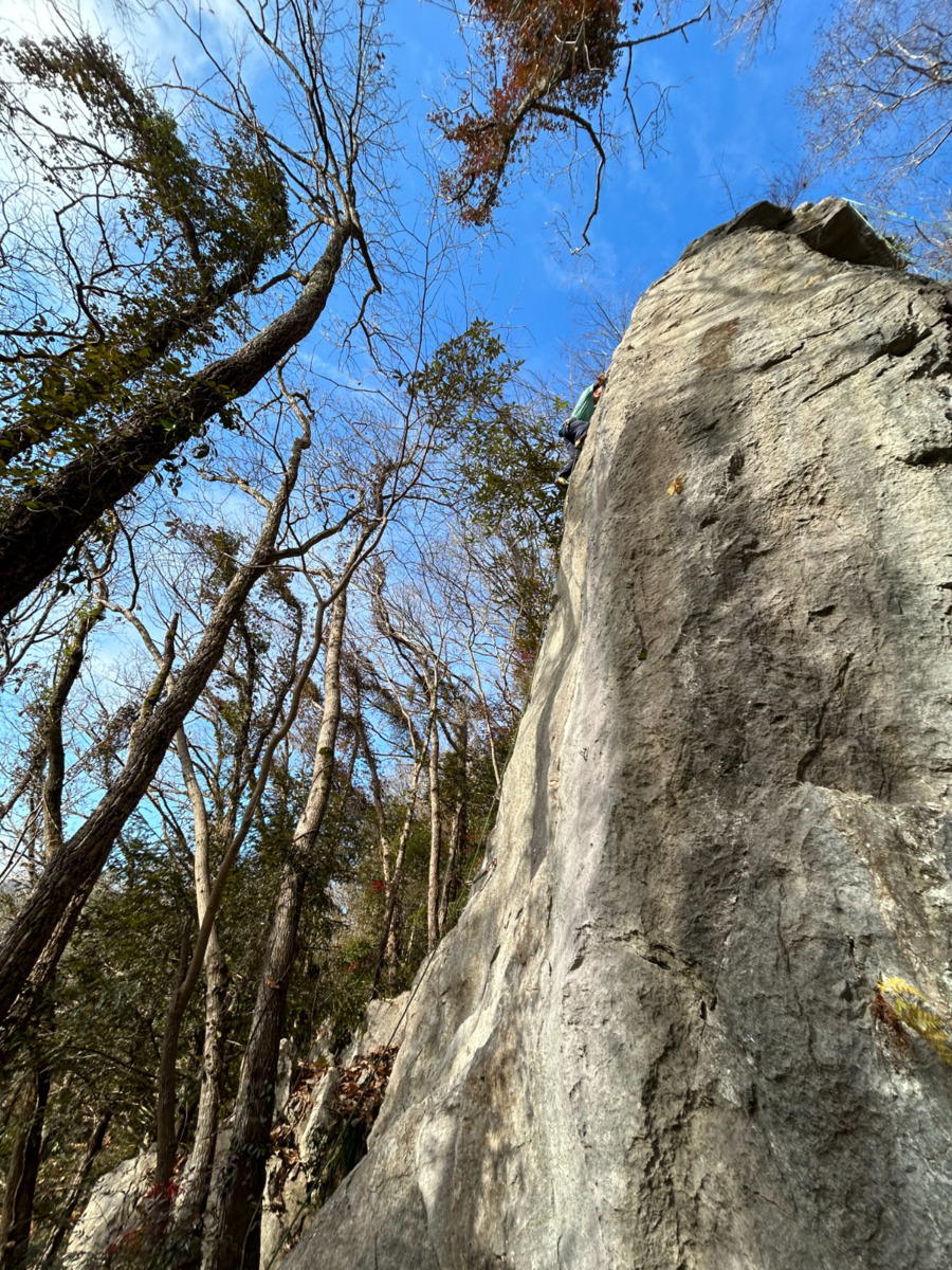
じゃろう岩
備中
用瀬の嶽
34.78513
133.4813745
0
0
12
1
0

じゃろう岩
- 備中 / 用瀬の嶽
- タイプ別: F12 C1
- 難易度別: E1 M3 H9
- 駐車場から: 近め 16.3581286580996865
向こう長屋
備中
長屋坂周辺
34.792155646051945
133.46221402357418
0
0
30
0
0
向こう長屋
- 備中 / 長屋坂周辺
- タイプ別: F30
- 難易度別: E19 M10 H1
長屋坂
備中
長屋坂周辺
34.79203634967222
133.45841988912656
1
0
23
0
0
長屋坂
1
- 備中 / 長屋坂周辺
- タイプ別: F23
- 難易度別: E4 M11 H8
- 駐車場から: 近め 2.59050132946511175
天龍
備中
羽山
34.808305
133.4923504
0
3
23
0
0
天龍
- 備中 / 羽山
- タイプ別: B3 F23
- 難易度別: E5 M10 H11
- 駐車場から: 近め -11.7718311792950895
木の村ロック
備中
長屋坂周辺
34.79491346430364
133.45247066183526
0
0
8
0
0
木の村ロック
- 備中 / 長屋坂周辺
- タイプ別: F8
- 難易度別: E6 M2
- 駐車場から: 近め -11.4154889549583087
レイクビュー
備中
長屋坂周辺
34.7918204
133.4505277
0
0
12
0
0
レイクビュー
- 備中 / 長屋坂周辺
- タイプ別: F12
- 難易度別: E6 M5 H1
- 駐車場から: 近め -118.0494613309058598
Loading...
×