情報提供
How to Use
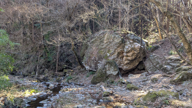
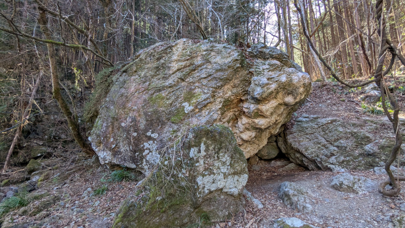
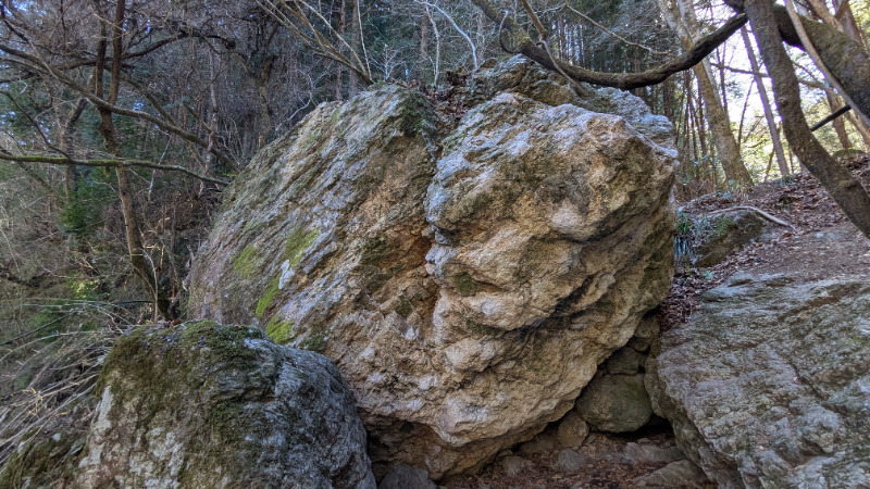
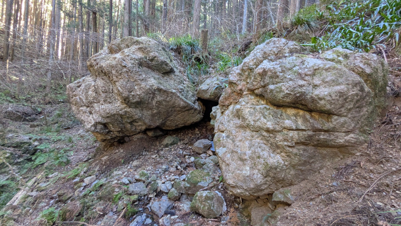
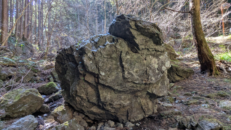
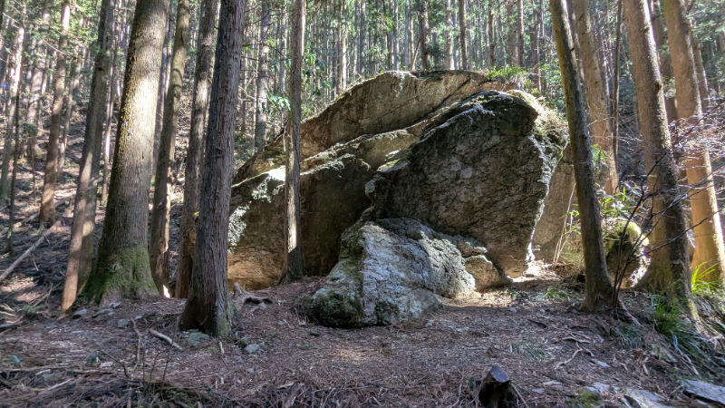
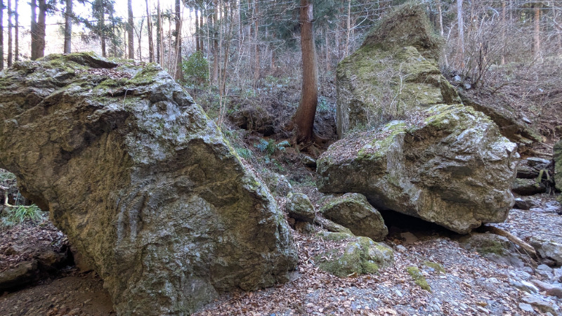
莫逆の岩
ばくぎゃくのいわBasic Info
| Area Info | 埼玉県 / 南川ボルダー |
|---|---|
| GPS Location | 35.9195502,139.1847859 |
| Elevation |
Approx. 289 m
Parking Elevation Approx. 294 m(Diff:-5 m) |
| Distance from Parking | 24 m |
Route Distribution
Tap the bar chart to view routes for each grade.
ボルダー(4 routes)Routes
Tap red lines to show route name and grade
簡単
4~3級
2~1級
~三段

Loading...
動画
-
※自動抽出の動画
-
※自動抽出の動画
-
※自動抽出の動画
-
※自動抽出の動画
Comments
No comments yet.
Post CommentNearby Crags
薪ボルダー
南川ボルダー
35.9155006
139.1864334
0
5
0
0
0
薪ボルダー
- 南川ボルダー
- タイプ別: B5
- 難易度別: M5
- 駐車場から: 近め 90.8874053780998293
花桐川エリア
南川ボルダー
35.9268008
139.1881856
0
1
0
0
0
花桐川エリア
- 南川ボルダー
- タイプ別: B1
- 難易度別: M1
- 駐車場から: 近め 0.17123286927569112
Loading...
×