情報提供
How to Use

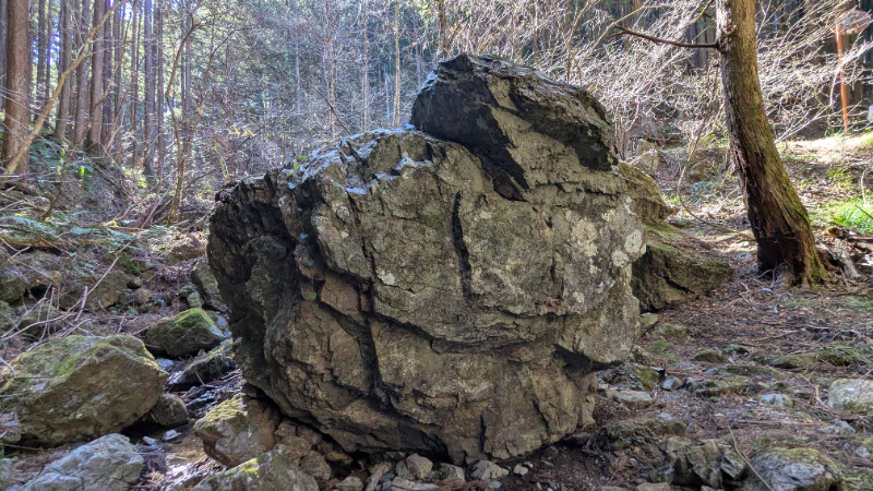
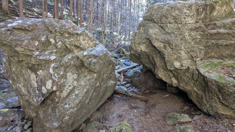
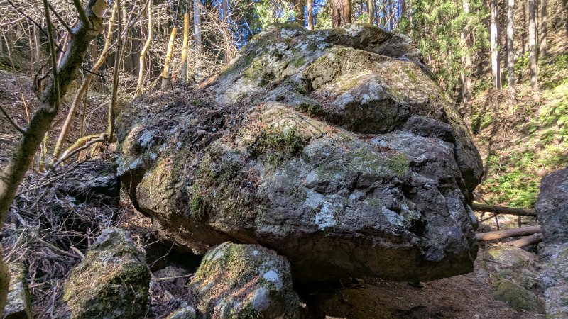
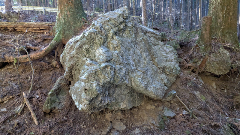
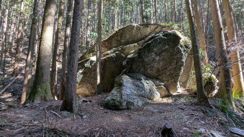
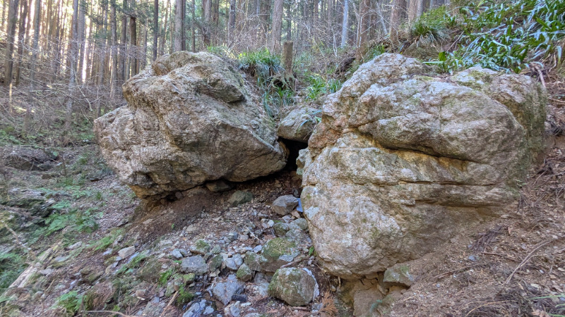
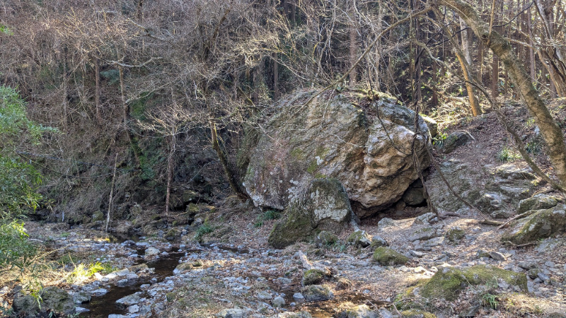
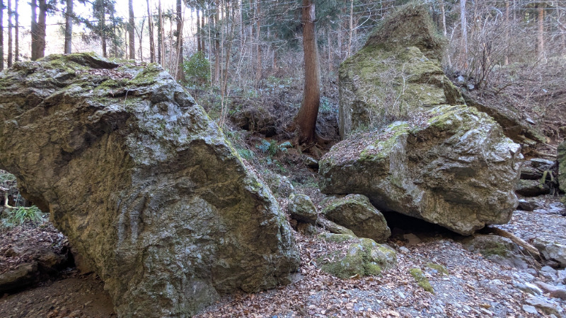
薪ボルダー下流の岩
Basic Info
| Area Info | 埼玉県 / 南川ボルダー |
|---|---|
| GPS Location | 35.9162625,139.1864042 |
| Elevation |
Approx. 344 m
Parking Elevation Approx. 294 m(Diff:50 m) |
| Distance from Parking | 415 m |
![]() よりお願い
よりお願い
このサイトは有志により開発・運営されています。
サーバ代等の運営費用は広告費や寄付で賄っていますが現状赤字運営です。
全画面の広告などは利用したくありませんし、できれば広告も設置したくありません。
便利・良いねと思ったら以下ボタンより寄付をしていただけると助かります。

Routes
Tap red lines to show route name and grade
簡単
5.10台
5.11台
クラック
フェイス
Comments
No comments yet.
Post CommentNearby Crags
薪ボルダー
南川ボルダー
35.9155006
139.1864334
0
5
0
0
0
薪ボルダー
- 南川ボルダー
- タイプ別: B5
- 難易度別: M5
- 駐車場から: 近め 90.8874053780998293
莫逆の岩
ばくぎゃくのいわ
南川ボルダー
35.9195502
139.1847859
0
4
0
0
0
莫逆の岩
- 南川ボルダー
- タイプ別: B4
- 難易度別: M1 H3
- 駐車場から: 近め -0.35813536908142485
花桐川エリア
南川ボルダー
35.9268008
139.1881856
0
1
0
0
0
花桐川エリア
- 南川ボルダー
- タイプ別: B1
- 難易度別: M1
- 駐車場から: 近め 0.17123286927569112
Loading...
×