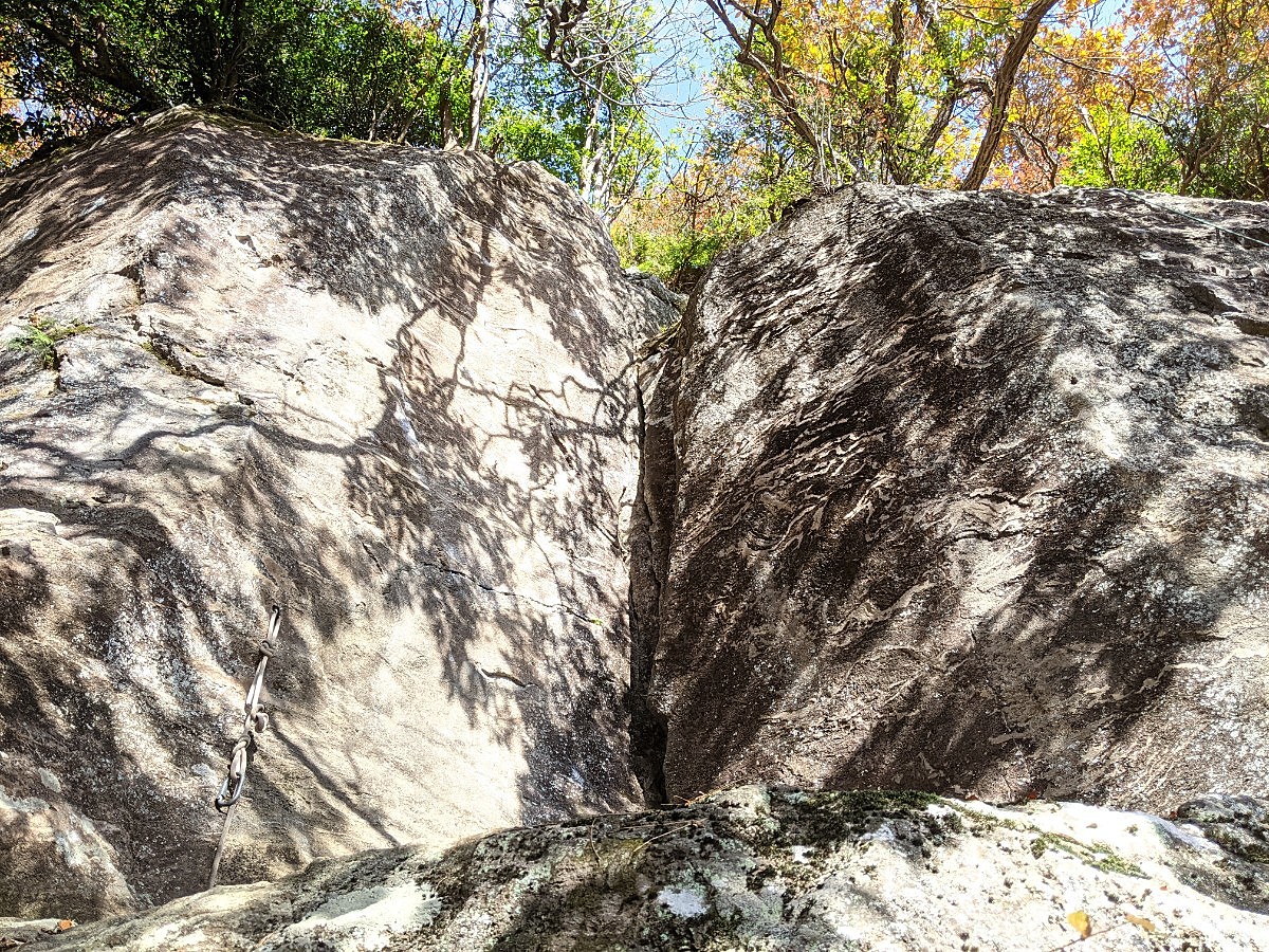
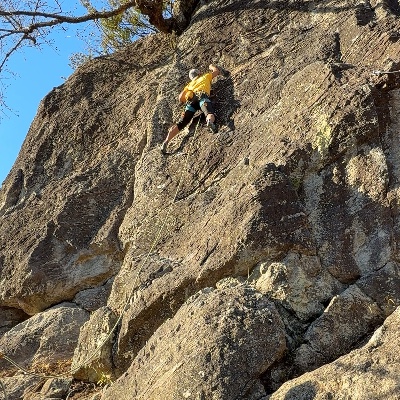
 マコロンランド・アリババの岩場/アリババ(Var.左)
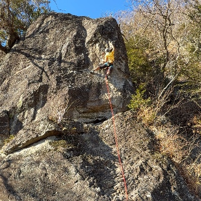 マコロンランド・アリババの岩場/魔法のランプ
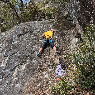 マコロンランド・アリババの岩場/かってにしろクマ
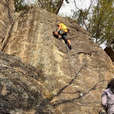 マコロンランド・アリババの岩場/かってにしやがれ
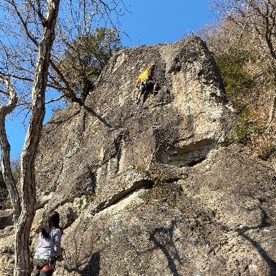 マコロンランド・アリババの岩場/アン
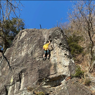 マコロンランド・アリババの岩場/アニー
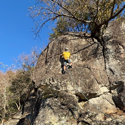 マコロンランド・アリババの岩場/ニューアライ
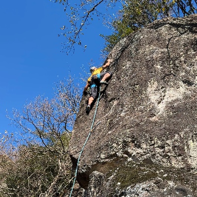 マコロンランド・アリババの岩場/マゾおけさ
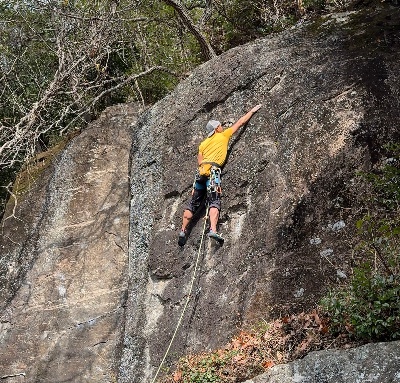 マコロンランド・アリババの岩場/クリスマスローズ
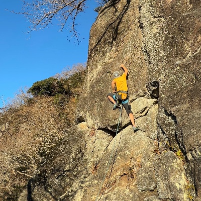 マコロンランド・アリババの岩場/シャワーコロン
| Area Info | 神奈川県 / 湯河原 |
|---|---|
| GPS Location | 35.1688819,139.0917319 |
| Elevation |
Approx. 295 m
Parking Elevation Approx. 195 m(Diff:100 m) |
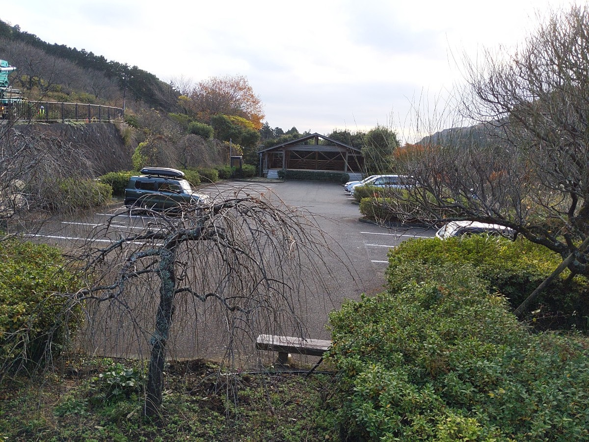
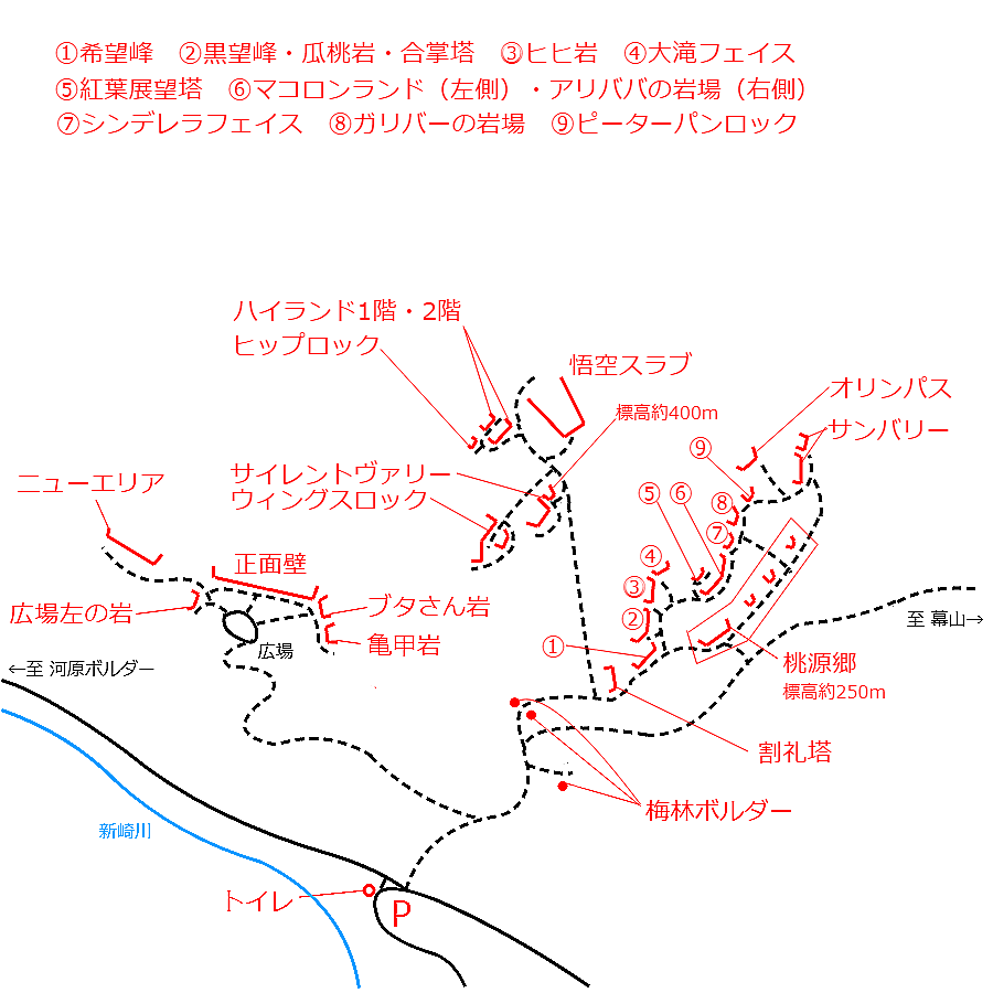
| Distance from Parking | 318 m |
| Aspect / Sun Exposure |
S
Sun Hours (Estimate)
S: 6:30〜16:40
|
| Monthly Activity | |
| Popular Problems | |
| Favorites |
5
|
Tap the bar chart to view routes for each grade.
リード(フェイス)(20 routes)
 よりお願い
このサイトは有志により開発・運営されています。
サーバ代等の運営費用は広告費や寄付で賄っていますが現状赤字運営です。
全画面の広告などは利用したくありませんし、できれば広告も設置したくありません。
便利・良いねと思ったら以下ボタンより寄付をしていただけると助かります。

Tap red lines to show the route card
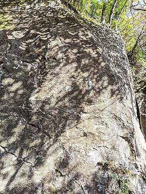
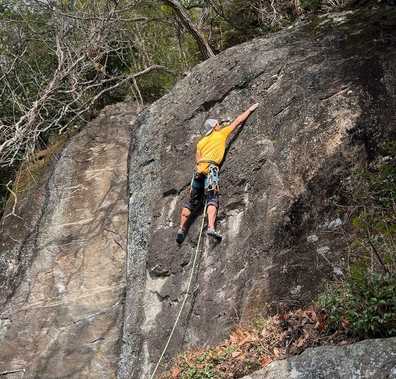
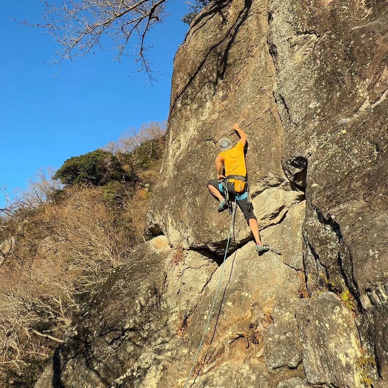
マコロンランド
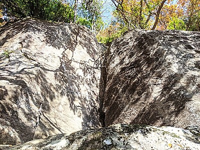
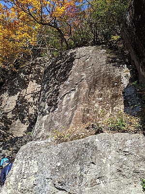
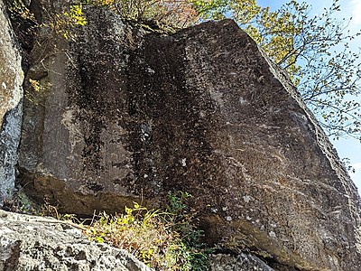
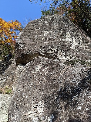
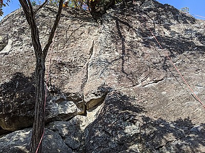
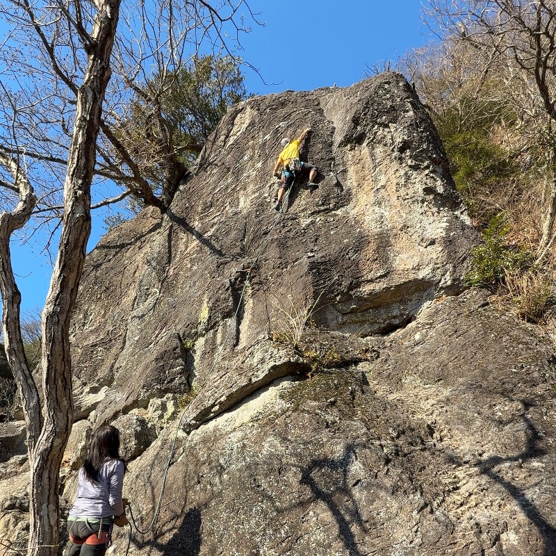
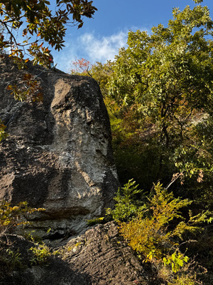
コンマクラック右側がアリババの岩場
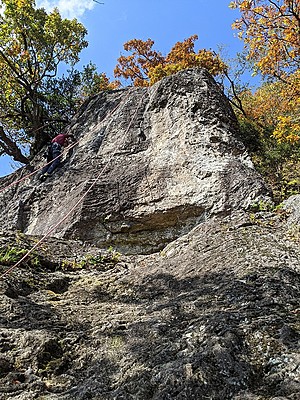
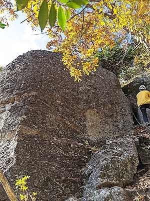
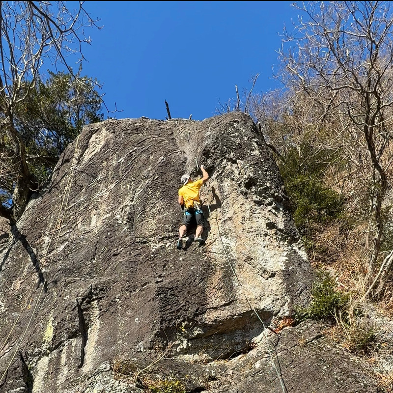
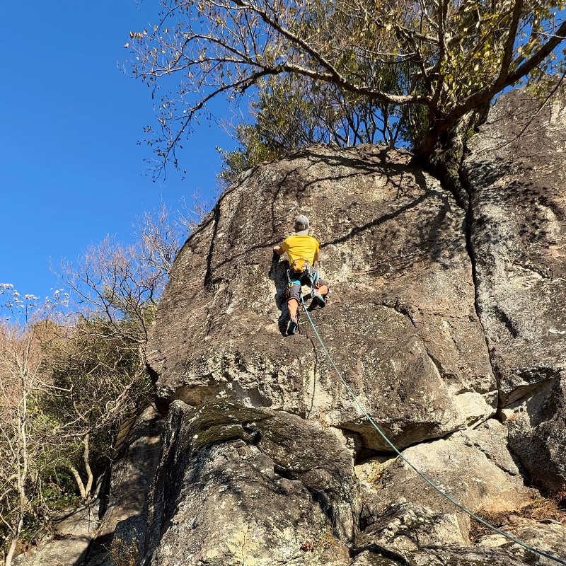
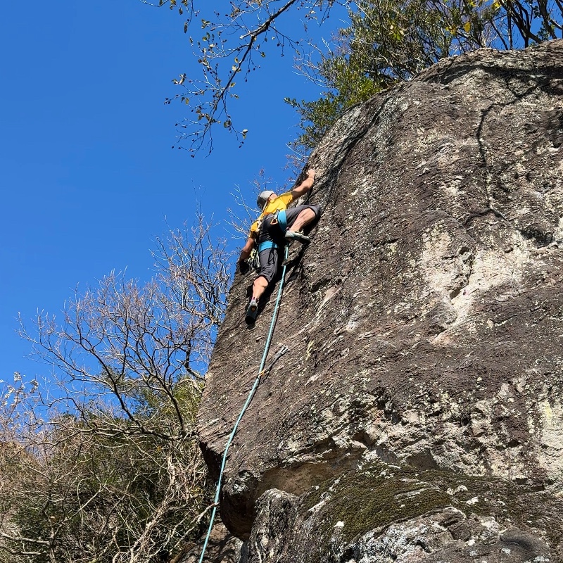
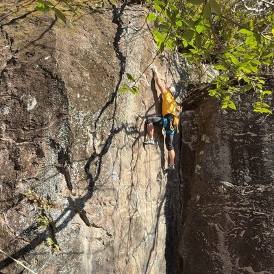
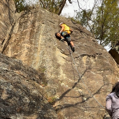
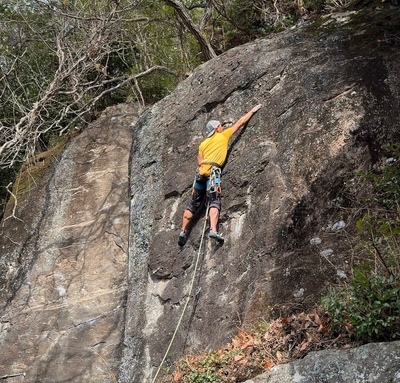
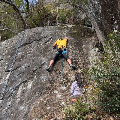
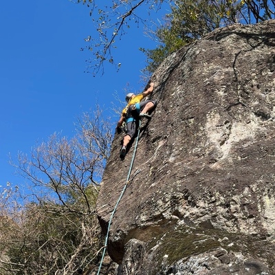
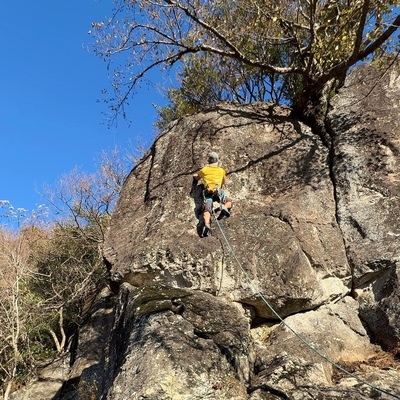
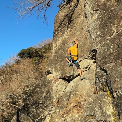
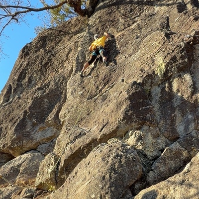
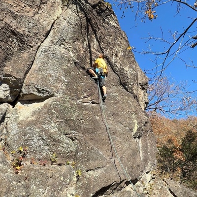
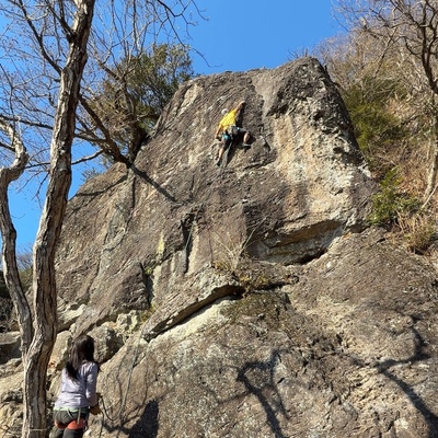
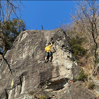
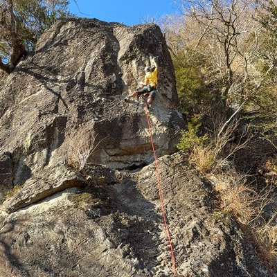
アン
※自動抽出の動画
※自動抽出の動画
※自動抽出の動画
※自動抽出の動画
※自動抽出の動画
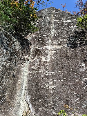
紅葉展望塔
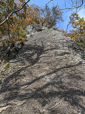
シンデレラフェイス
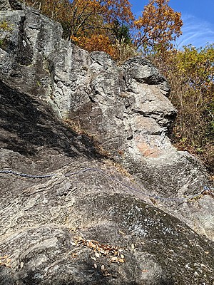
ガリバーの岩場
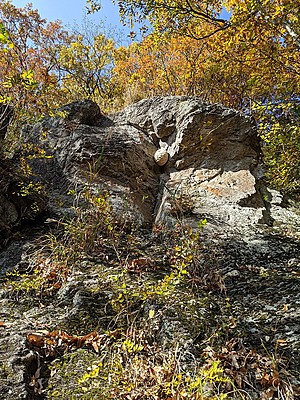
ピーターパンロック
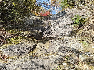
ヒヒ岩・大滝フェイス
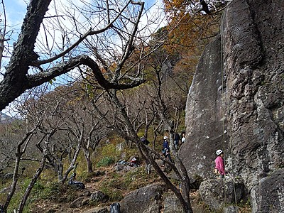
桃源郷Togenkyo
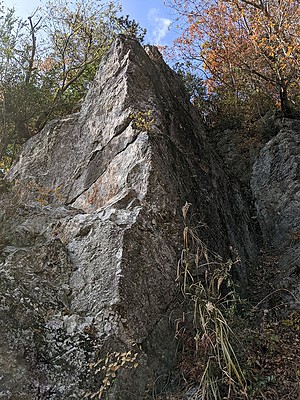
オリンパスの丘
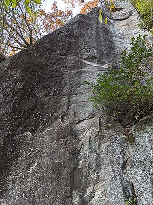
黒望峰・合掌塔
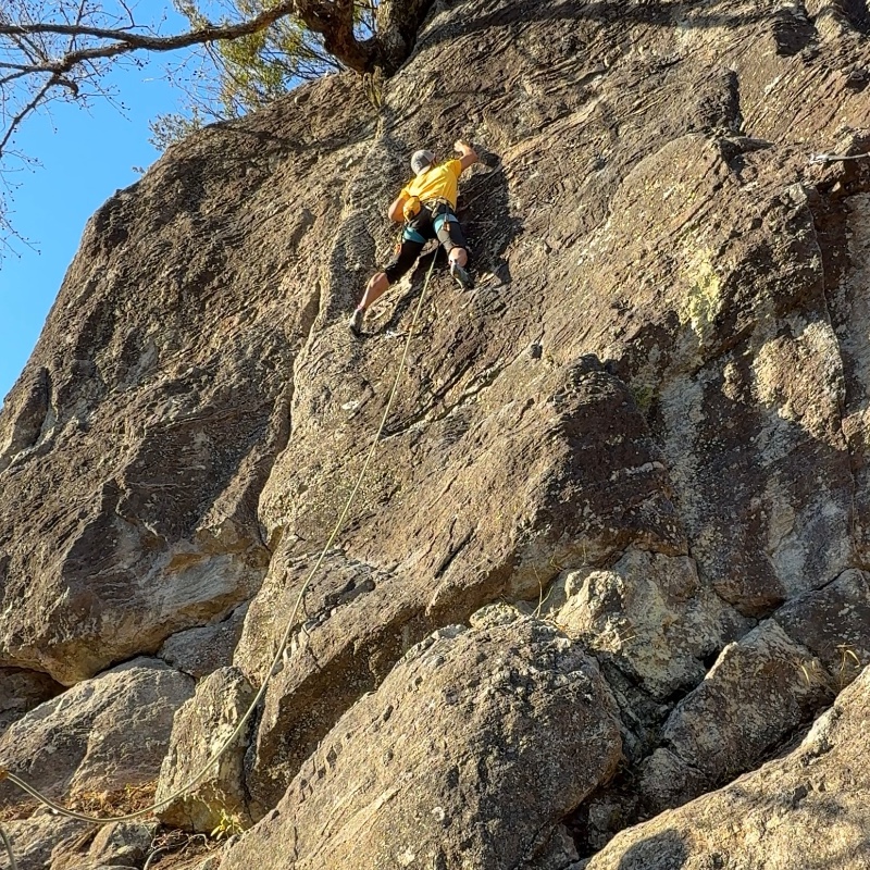
 まこ
 Tap the Share button (a square with an arrow) at the bottom of the screen. If you can't find it, tap "…" and select "Share"