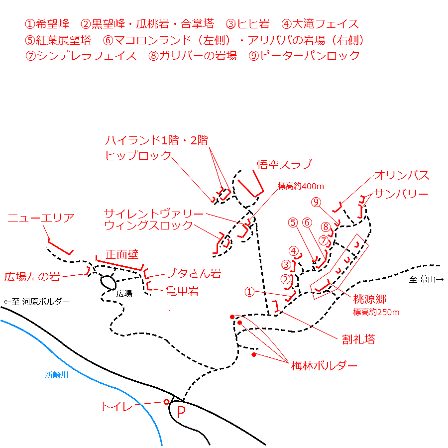
情報提供
How to Use

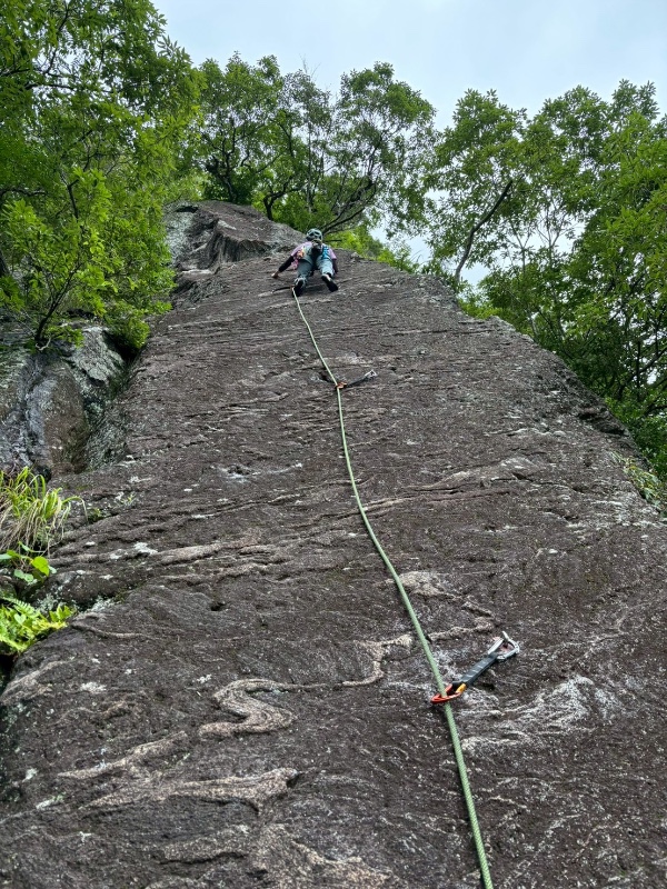


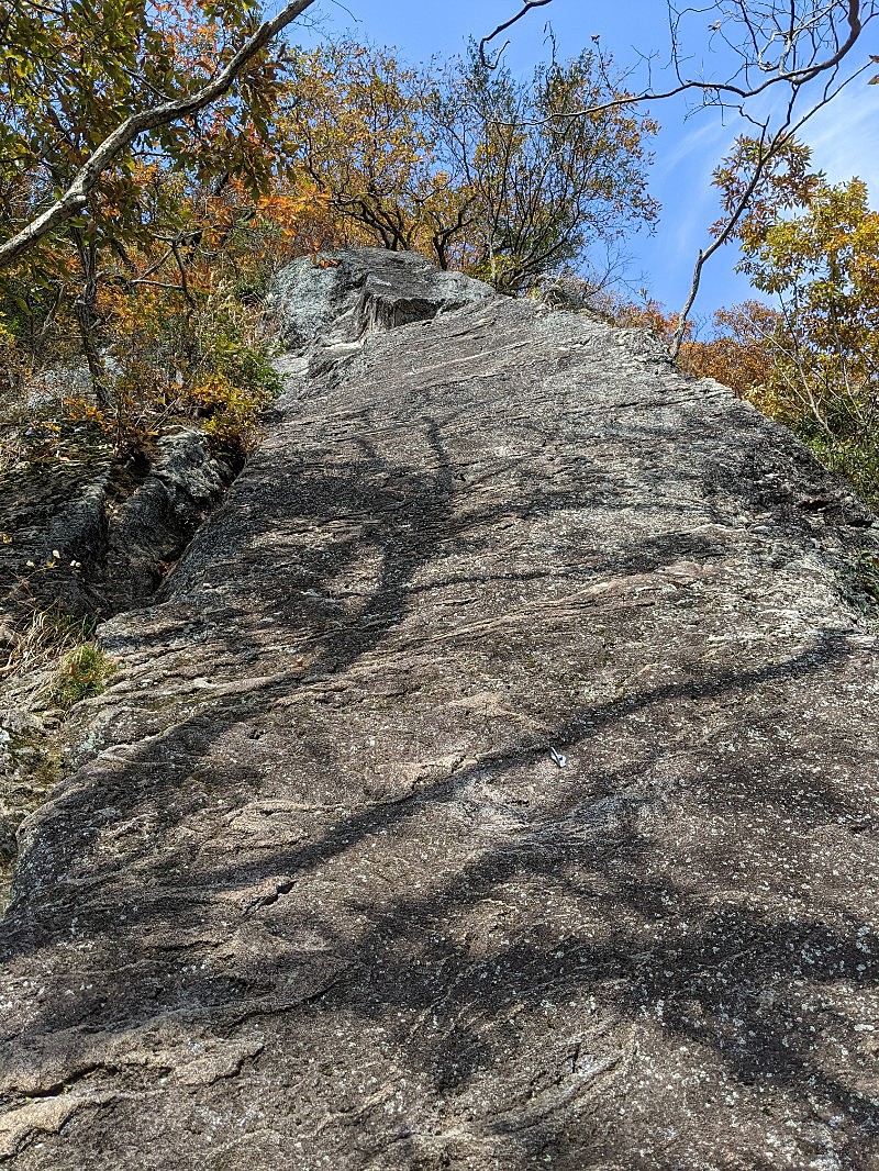
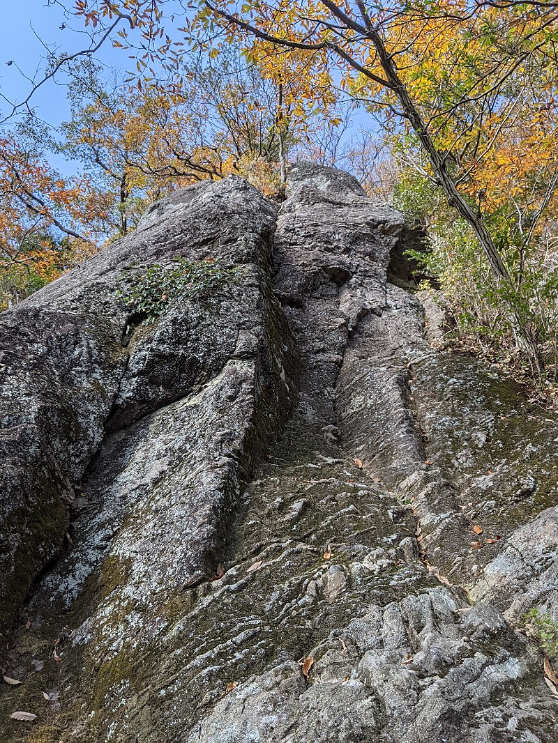
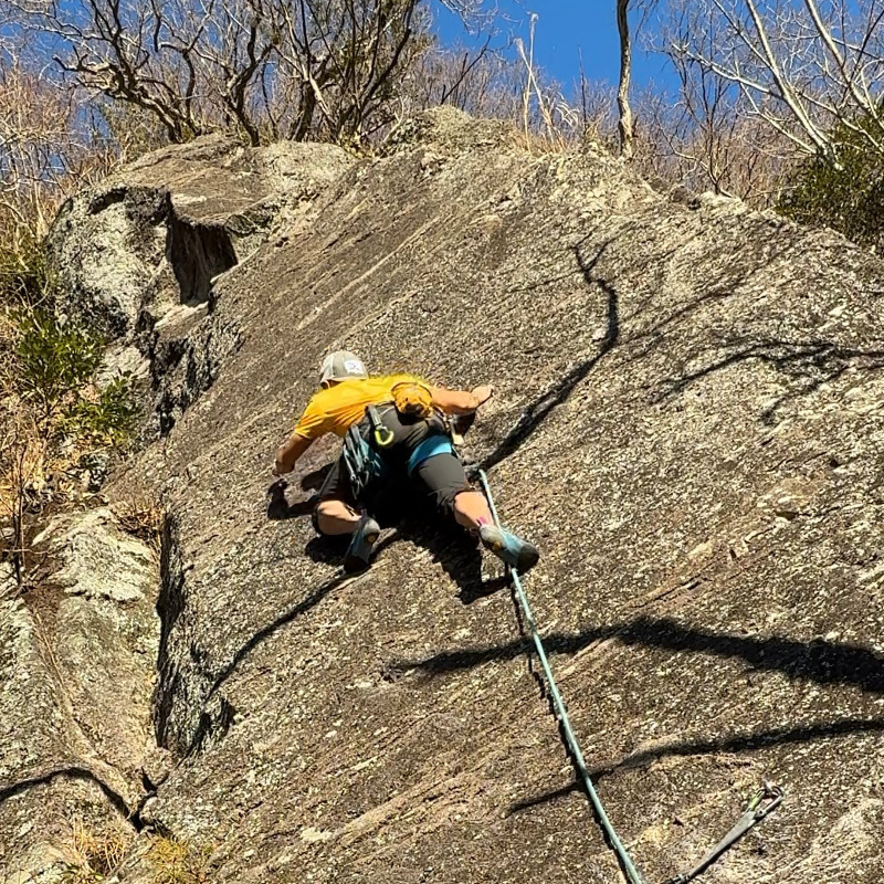
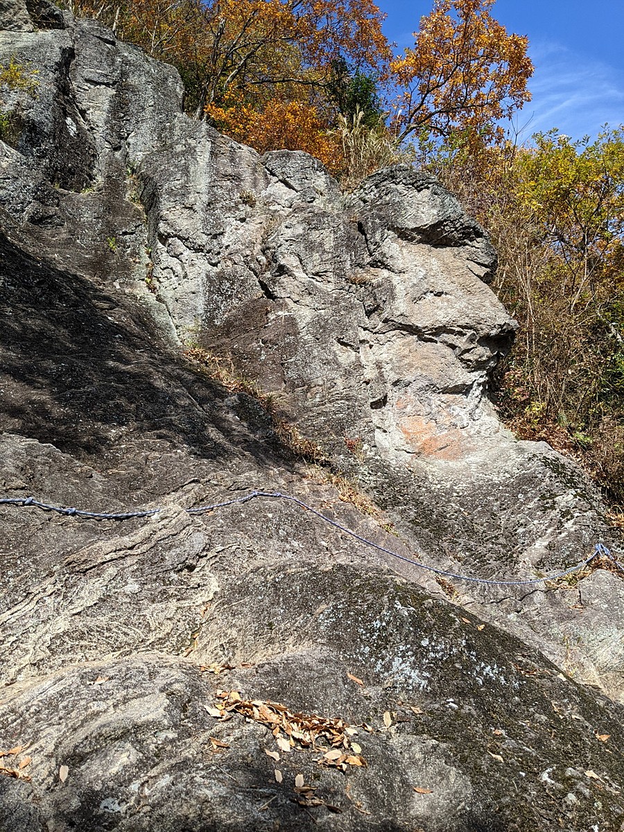
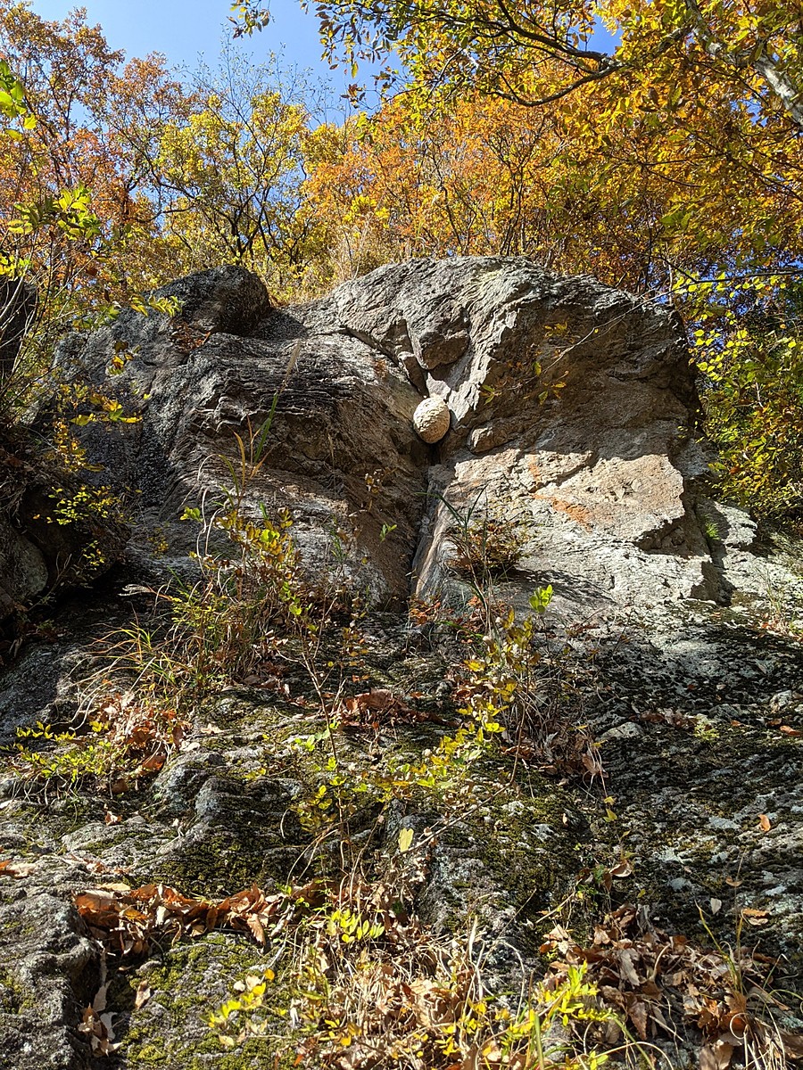
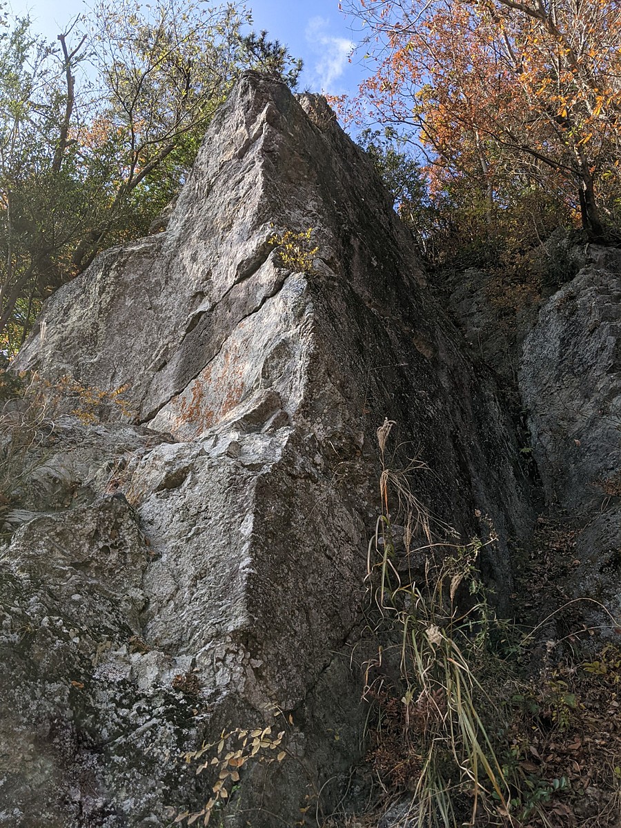
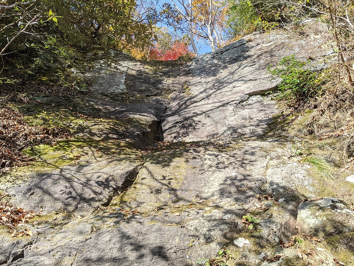
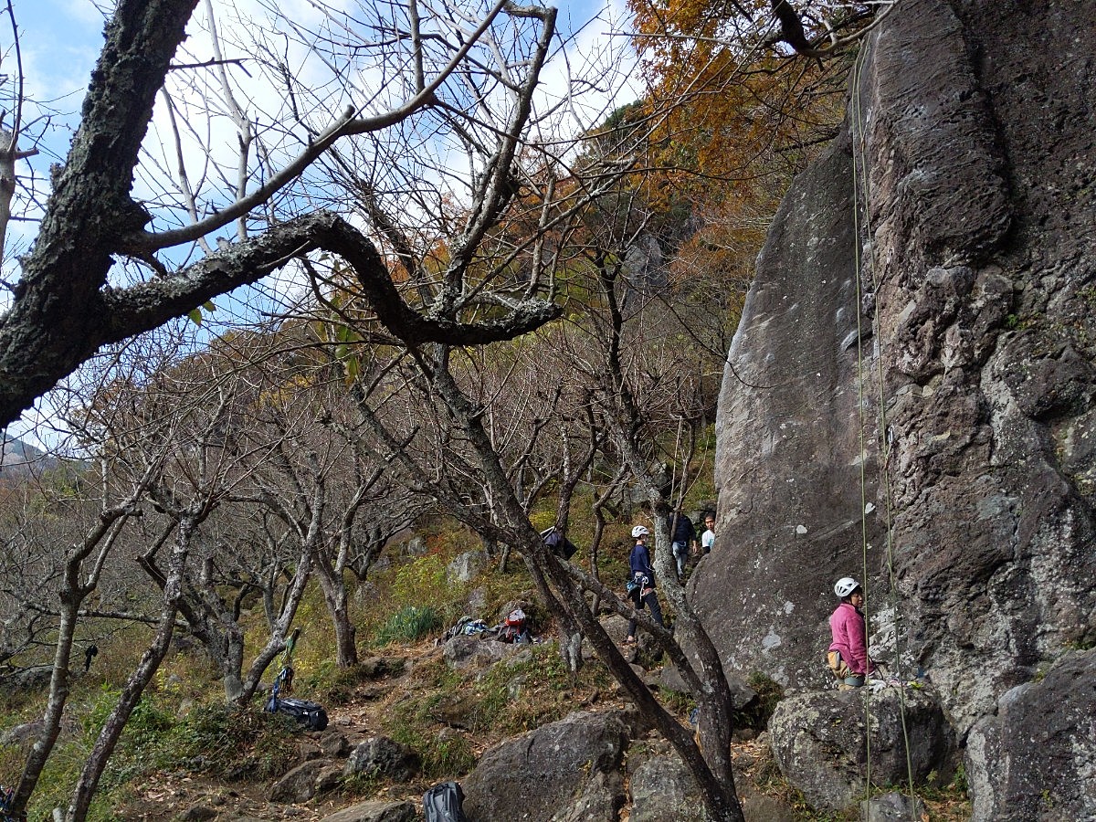
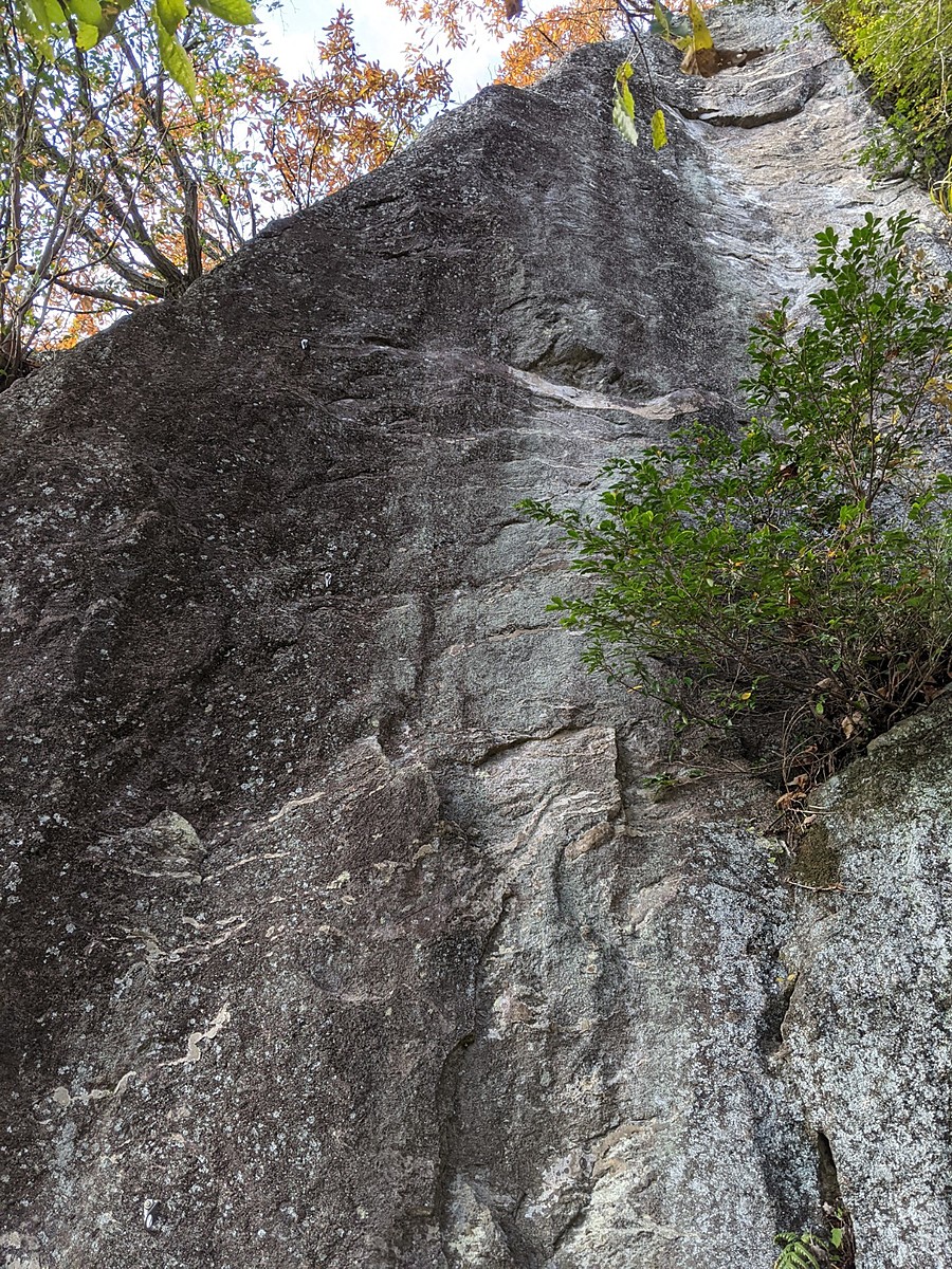
シンデレラフェイス
Basic Info
| Area Info | 神奈川県 / 湯河原 |
|---|---|
| GPS Location | 35.1689636,139.0918257 |
| Elevation |
Approx. 302 m
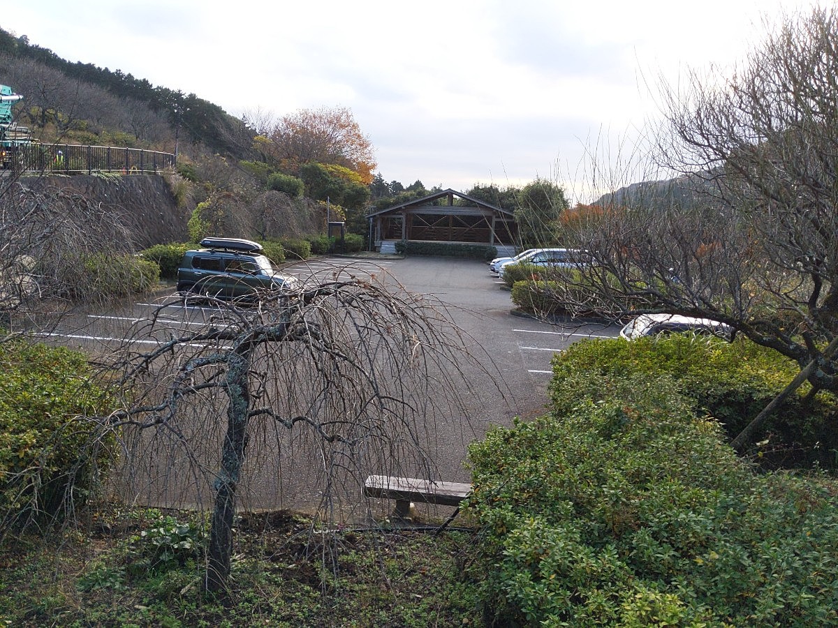
Parking Elevation Approx. 195 m(Diff:107 m) |
| Distance from Parking | 330 m |
| Popular Problems | |
| Favorites |
2
|
Route Distribution
Tap the bar chart to view routes for each grade.
リード(フェイス)(4 routes)Routes
Tap red lines to show route name and grade
簡単
5.10台
5.11台
クラック
フェイス
シンデレラ
リード(フェイス)
5.7
210
6
3
26
35.1689636
139.0918257
.jpg)
トムソーヤ
リード(フェイス)
5.8
27
2
0
8
35.1689636
139.0918257
Loading...
動画
-
※自動抽出の動画
-
※自動抽出の動画
Comments
No comments yet.
Post CommentNearby Crags
ガリバーの岩場
湯河原
35.16903628291238
139.09187342719886
2
0
6
0
0
ガリバーの岩場
2
- 湯河原
- タイプ別: F6
- 難易度別: E4 M2
- 駐車場から: 近め 114.9055127245094163
マコロンランド・アリババの岩場
湯河原
35.1688819
139.0917319
5
0
20
1
0
マコロンランド・アリババの岩場
5
- 湯河原
- タイプ別: F20 C1
- 難易度別: E11 M9 H1
- 駐車場から: 近め 95.2764946156167
紅葉展望塔
湯河原
35.16893504473785
139.09165970053067
1
0
5
0
0
紅葉展望塔
1
- 湯河原
- タイプ別: F5
- 難易度別: E1 M4
- 駐車場から: 近め 101.9438082032203059
ピーターパンロック
湯河原
35.16905
139.0919824
0
0
5
0
0
ピーターパンロック
- 湯河原
- タイプ別: F5
- 難易度別: E4 M1
- 駐車場から: 近め 117.5761349113570116
オリンパスの丘
湯河原
35.1693286
139.0919883
4
0
5
0
0
オリンパスの丘
4
- 湯河原
- タイプ別: F5
- 難易度別: E5
- 駐車場から: そこそこ 157.744402464840591
ヒヒ岩・大滝フェイス
湯河原
35.16885310815297
139.09136652954658
2
0
12
0
0
ヒヒ岩・大滝フェイス
2
- 湯河原
- タイプ別: F12
- 難易度別: E9 M2 H1
- 駐車場から: 近め 79.237343300273064
桃源郷
とうげんきょう
湯河原
35.168575
139.0916677
9
0
20
0
0
桃源郷
9
- 湯河原
- タイプ別: F20
- 難易度別: E12 M7 H1
- 駐車場から: 近め 65.9345065178130108
黒望峰・合掌塔
湯河原
35.168770401357044
139.09103373937248
0
0
12
0
0
黒望峰・合掌塔
- 湯河原
- タイプ別: F12
- 難易度別: E2 M10
- 駐車場から: 近め 72.364520436490143
Loading...
×