情報提供
How to Use
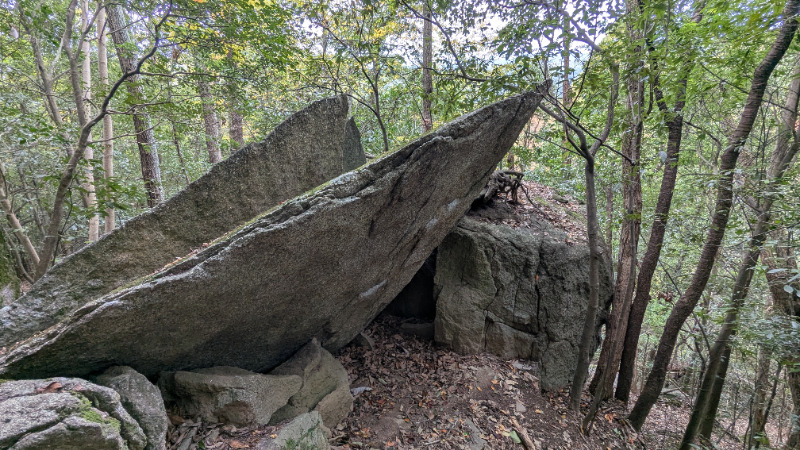
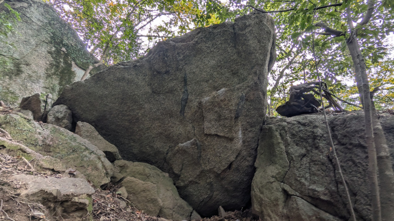
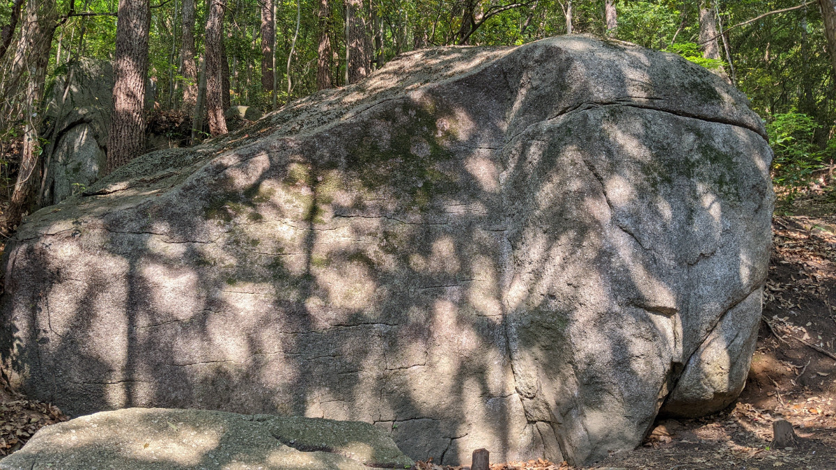
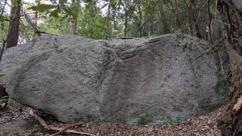
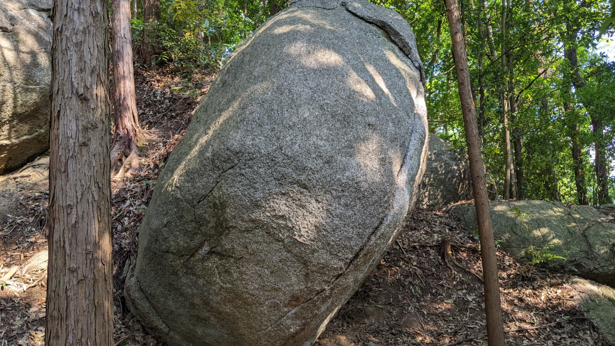
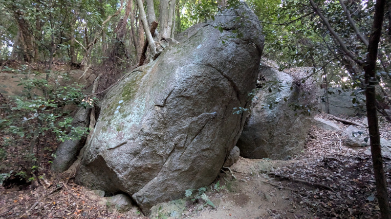
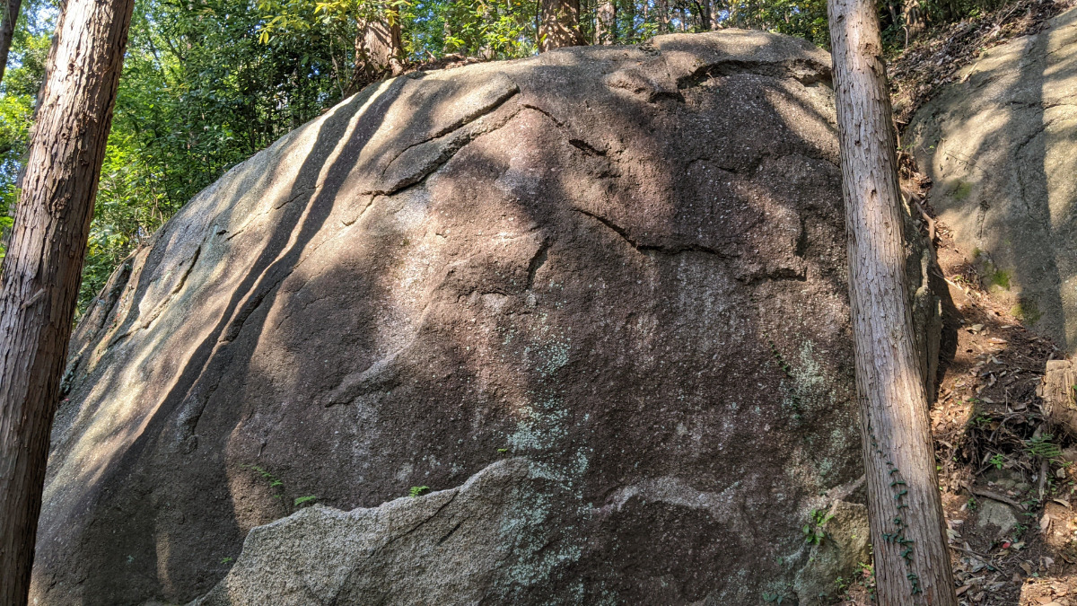
夕焼けの岩
Basic Info
| Area Info | 愛知県 / 豊田 大楠林道エリア / |
|---|---|
| GPS Location | 35.0793366,137.2571909 |
| Elevation |
Approx. 252 m
Parking Elevation Approx. 157 m(Diff:95 m) |
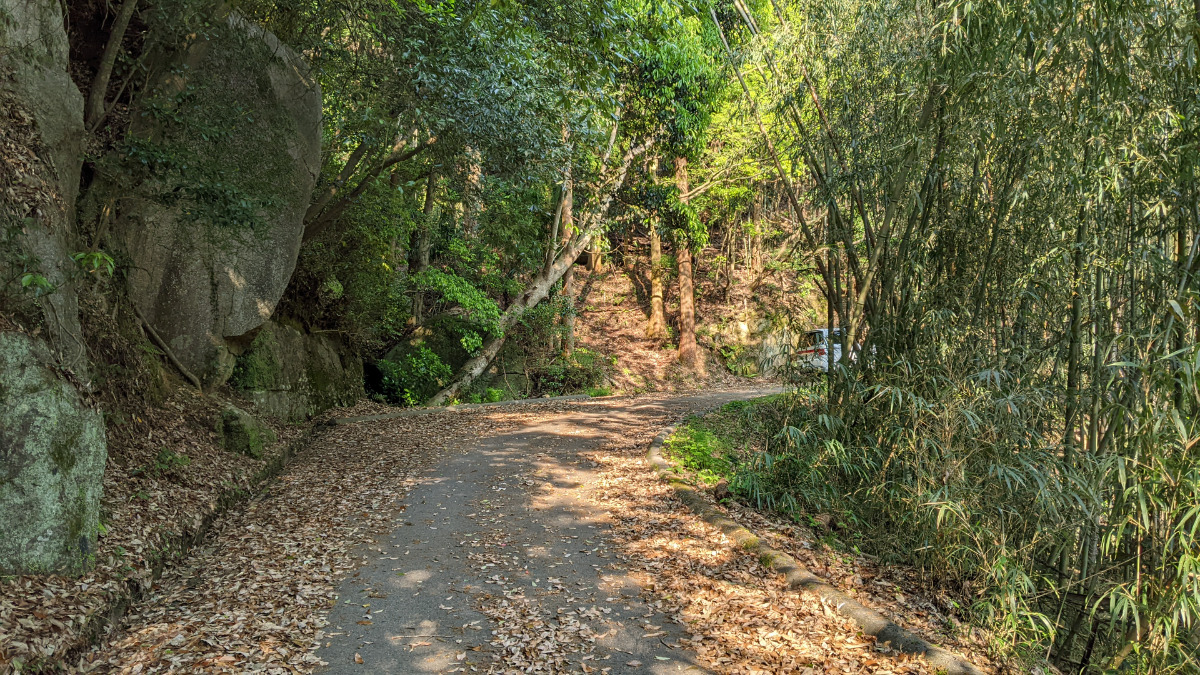
| Distance from Parking | 467 m |
Route Distribution
Tap the bar chart to view routes for each grade.
ボルダー(1 routes)Routes
Tap red lines to show route name and grade
簡単
4~3級
2~1級
~三段

Loading...
動画
-
※自動抽出の動画
Comments
No comments yet.
Post CommentNearby Crags
木曽三川ロック
豊田
大楠林道エリア
35.07944415
137.257579
1
0
6
4
0
木曽三川ロック
1
- 豊田 / 大楠林道エリア
- タイプ別: F6 C4
- 難易度別: E8 M1 H1
- 駐車場から: そこそこ 164.8969356280882944
薄カブリ岩・凹角岩
豊田
大楠林道エリア
35.078978660769785
137.2569999541
0
13
0
0
0
薄カブリ岩・凹角岩
- 豊田 / 大楠林道エリア
- タイプ別: B13
- 難易度別: E5 M8
- 駐車場から: 近め 124.5131127457813782
綺麗きれい岩
豊田
大楠林道エリア
35.0798033
137.2572244
0
2
0
0
0
綺麗きれい岩
- 豊田 / 大楠林道エリア
- タイプ別: B2
- 難易度別: E1 M1
- 駐車場から: 近め 128.9094717199617099
ラースベイダーの岩
豊田
大楠林道エリア
35.0794647
137.2580891
0
1
0
0
0
ラースベイダーの岩
- 豊田 / 大楠林道エリア
- タイプ別: B1
- 難易度別: M1
- 駐車場から: そこそこ 217.9270790765891433
陽だまりロック・モーニングハング・雪だるまロック
豊田
大楠林道エリア
35.0786626335592
137.25679858285352
0
10
0
0
0
陽だまりロック・モーニングハング・雪だるまロック
- 豊田 / 大楠林道エリア
- タイプ別: B10
- 難易度別: E5 M5
- 駐車場から: 近め 112.4075546066675202
卵岩・卵上の岩
豊田
大楠林道エリア
35.0787275
137.2566326
0
9
0
0
0
卵岩・卵上の岩
- 豊田 / 大楠林道エリア
- タイプ別: B9
- 難易度別: E2 M6 H1
- 駐車場から: 近め 104.5010824748534946
紋ロック
豊田
大楠林道エリア
35.0785604
137.2571288
0
9
0
0
0
紋ロック
- 豊田 / 大楠林道エリア
- タイプ別: B9
- 難易度別: E1 M3 H5
- 駐車場から: 近め 117.731654487581436
桜木フェイス・植林岩
豊田
大楠林道エリア
35.0786298
137.2564502
0
14
0
0
0
桜木フェイス・植林岩
- 豊田 / 大楠林道エリア
- タイプ別: B14
- 難易度別: E10 M4
- 駐車場から: 近め 85.4356240563045189
Loading...
×