情報提供
How to Use
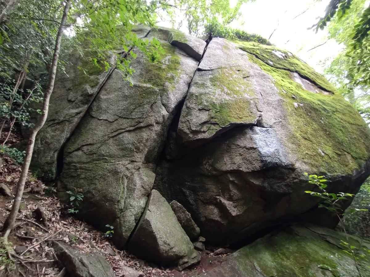
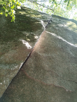 木曽三川ロック/揖斐川


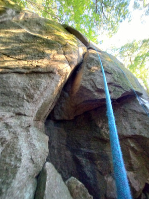 木曽三川ロック/長良川

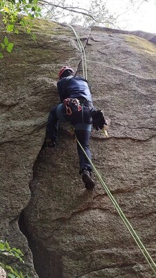 木曽三川ロック/揖斐川

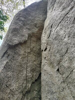 木曽三川ロック/サブプライム・ショック

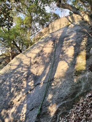 木曽三川ロック/バレンタインデーキッス

木曽三川ロック
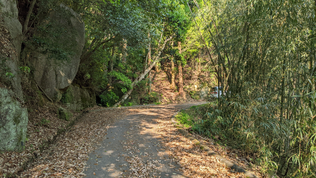
Checked in at 豊田 today:
0
Basic Info
| Area Info | 愛知県 / 豊田 大楠林道エリア / |
|---|---|
| GPS Location | 35.07944415,137.257579 |
| Elevation |
Approx. 269 m
Parking Elevation Approx. 157 m(Diff:112 m) |
| Distance from Parking | 491 m |
| Favorites |
2
|
 mtking
Route Distribution
Tap the bar chart to view routes for each grade.
リード(フェイス)(6 routes)⭐Recommended Routes
Sign in to get more
- Automatic route recommendations matched to your grade, based on your ascents
- Log your ascents and track your progress with charts
- Save favorite crags and routes, and view topos offline
Routes
Tap red lines to show the route card
-
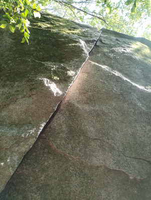
クラック
-
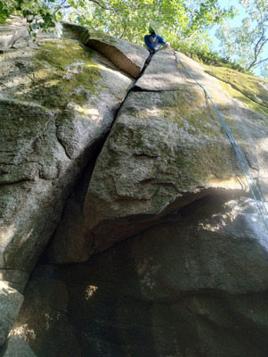
クラック
-
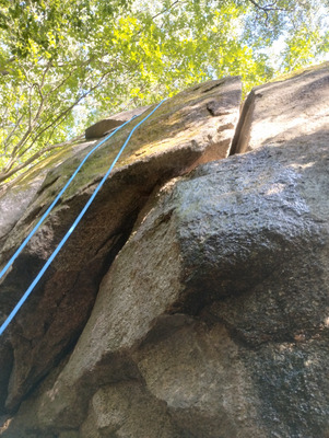
クラック
-
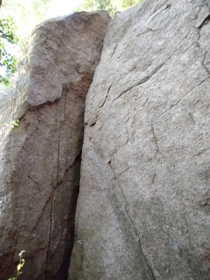
フェイス
-
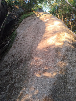
スラブ
-
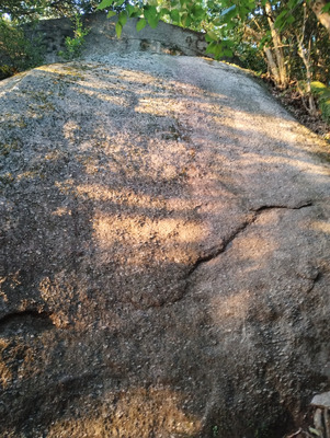
スラブ
揖斐川
いびがわ
Ibigawa
リード(クラック)
5.8
5
0
0
4
35.07944415
137.257579
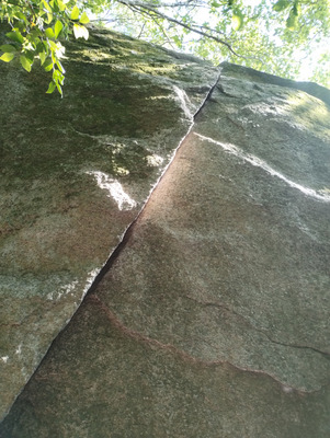
長良川
ながらがわ
Nagaragawa
リード(クラック)
5.10a
6
0
0
5
35.07944415
137.257579
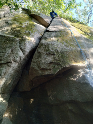
Caught in a web
こーといんあうぇぶ
Kotoinawebu
リード(フェイス)
5.12b
1
0
0
0
35.07944415
137.257579
椿チムニー
つばきちむにー
Tsubakichimuni
リード(クラック)
5.7
4
1
0
1
35.07944415
137.257579
サブプライム・ショック
さぶぷらいむしょっく
Sabupuraimushokku
リード(フェイス)
5.10a
2
0
0
1
35.07944415
137.257579
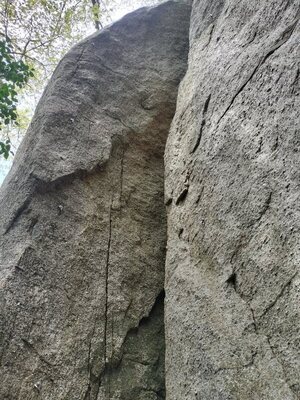
サテライト・クラッシュ
さてらいとくらっしゅ
Sateraitokurasshu
リード(フェイス)
5.10c
2
0
0
1
35.07944415
137.257579
ゴジラの背
ごじらのせ
Gojiranose
リード(フェイス)
5.10a
2
0
0
1
35.07944415
137.257579
チェリー
ちぇりー
Cheri
リード(フェイス)
5.10b
3
0
0
2
35.07944415
137.257579
バレンタインデーキッス
ばれんたいんでーきっす
Barentaindekissu
リード(フェイス)
5.9
3
0
0
2
35.07944415
137.257579
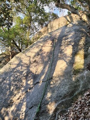
Loading...
動画
-
※自動抽出の動画

Nearby Crags
駐車場上エリア
さかな君ロック、ヤッターマンロック、ラッカサンロック
豊田
大楠林道エリア
35.0781765
137.25727
0
20
0
0
0

駐車場上エリア
- 豊田 / 大楠林道エリア
- タイプ別: B20
- 標高: 約 222 m
- 駐車場から: 近め 108.251685513274836
鉄塔下の岩
豊田
大楠林道エリア
35.0803293
137.2596263
0
0
0
0
0

鉄塔下の岩
- 豊田 / 大楠林道エリア
- 標高: 約 325 m
- 駐車場から: そこそこ 316.2831377571197136
御天道エリア
豊田
大楠林道エリア
35.0802374
137.26025
0
0
0
0
0
御天道エリア
- 豊田 / 大楠林道エリア
- 標高: 約 310 m
- 駐車場から: そこそこ 314.4913701931421073
御天道エリア奥
豊田
大楠林道エリア
35.0814838
137.2602231
0
0
0
0
0
御天道エリア奥
- 豊田 / 大楠林道エリア
- 標高: 約 311 m
- 駐車場から: そこそこ 306.7041236565226536
舳先ロック
豊田
大楠林道エリア
35.0820378
137.2595318
0
0
0
0
0
舳先ロック
- 豊田 / 大楠林道エリア
- 標高: 約 339 m
- 駐車場から: そこそこ 328.575238665879933
美人岩
豊田
天下峰エリア
35.0731884
137.2627679
0
0
9
0
0
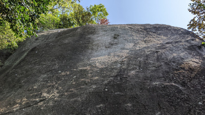
美人岩
- 豊田 / 天下峰エリア
- タイプ別: F9
- 標高: 約 346 m
- 駐車場から: 近め 15.4743829712330472
レンジャー岩
豊田
天下峰エリア
35.0734793
137.2633499
1
0
3
2
0
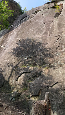
レンジャー岩
1
- 豊田 / 天下峰エリア
- タイプ別: F3 C2
- 標高: 約 337 m
- 駐車場から: 近め 21.153717599508837
天地無用の岩
豊田
天下峰エリア
35.0733265
137.2631132
0
0
3
0
0
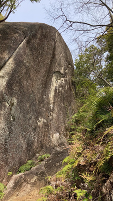
天地無用の岩
- 豊田 / 天下峰エリア
- タイプ別: F3
- 標高: 約 341 m
- 駐車場から: 近め 18.9973147040101698
Loading...
 Tap the Share button (a square with an arrow) at the bottom of the screen. If you can't find it, tap "…" and select "Share"