
情報提供
How to Use
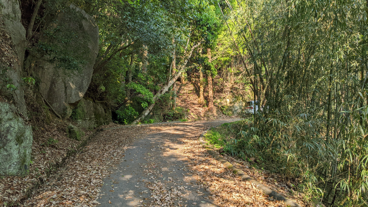
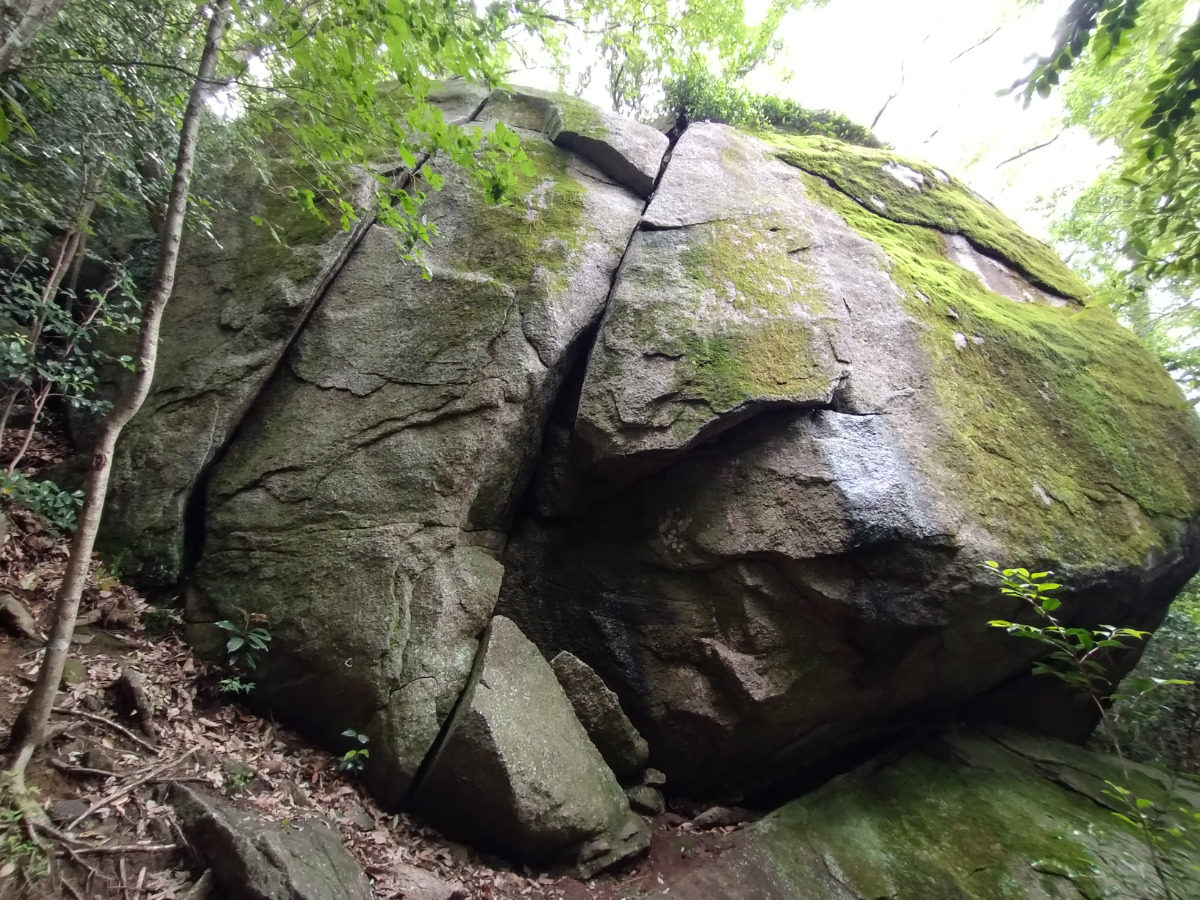
御天道エリア
Basic Info
| Area Info | 愛知県 / 豊田 大楠林道エリア / |
|---|---|
| GPS Location | 35.0802374,137.26025 |
| Elevation |
Approx. 310 m
Parking Elevation Approx. 157 m(Diff:153 m) |
| Distance from Parking | 685 m |
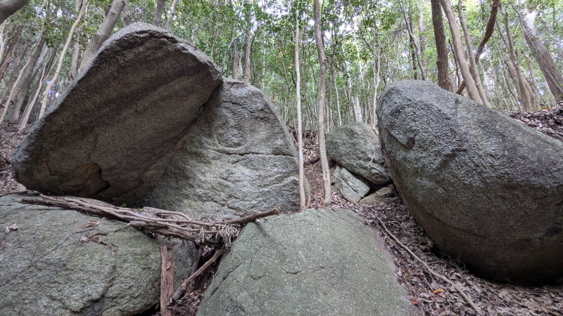
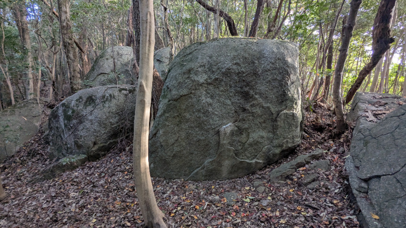
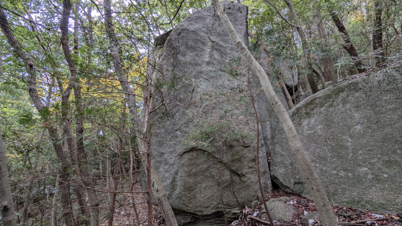
Routes

No topo photo yet.
Add Crag Photo to improve the topo!
Add Photo for This Crag
* Account required to add photos.
※写真と課題のラインを登録する事で、こちらのページのように課題の位置が分かるようになります。
簡単
5.10台
5.11台
クラック
フェイス
Comments
No comments yet.
Post CommentNearby Crags
鉄塔下の岩
豊田
大楠林道エリア
35.0803293
137.2596263
0
0
0
0
0
鉄塔下の岩
- 豊田 / 大楠林道エリア
- 駐車場から: そこそこ 316.2831377571197136
シンドバットの岩
豊田
大楠林道エリア
35.0804088
137.2592035
0
1
0
0
0
シンドバットの岩
- 豊田 / 大楠林道エリア
- タイプ別: B1
- 難易度別: M1
- 駐車場から: 近め 62.6180716671661308
御天道エリア奥
豊田
大楠林道エリア
35.0814838
137.2602231
0
0
0
0
0
御天道エリア奥
- 豊田 / 大楠林道エリア
- 駐車場から: そこそこ 306.7041236565226536
オープンブックロック
豊田
大楠林道エリア
35.0791379
137.2585608
0
1
0
0
0
オープンブックロック
- 豊田 / 大楠林道エリア
- タイプ別: B1
- 難易度別: M1
- 駐車場から: そこそこ 200.1858079202961696
舳先ロック
豊田
大楠林道エリア
35.0820378
137.2595318
0
0
0
0
0
舳先ロック
- 豊田 / 大楠林道エリア
- 駐車場から: そこそこ 328.575238665879933
ラースベイダーの岩
豊田
大楠林道エリア
35.0794647
137.2580891
0
1
0
0
0
ラースベイダーの岩
- 豊田 / 大楠林道エリア
- タイプ別: B1
- 難易度別: M1
- 駐車場から: そこそこ 217.9270790765891433
どんと晴れエリア
豊田
大楠林道エリア
35.0804119
137.2577836
0
8
0
0
0
どんと晴れエリア
- 豊田 / 大楠林道エリア
- タイプ別: B8
- 難易度別: E5 M2 H1
- 駐車場から: そこそこ 165.4574649567633864
木曽三川ロック
豊田
大楠林道エリア
35.07944415
137.257579
1
0
6
4
0
木曽三川ロック
1
- 豊田 / 大楠林道エリア
- タイプ別: F6 C4
- 難易度別: E8 M1 H1
- 駐車場から: そこそこ 164.8969356280882944
Loading...
×