情報提供
How to Use
オープンブックロック
Checked in at 豊田 today:
0
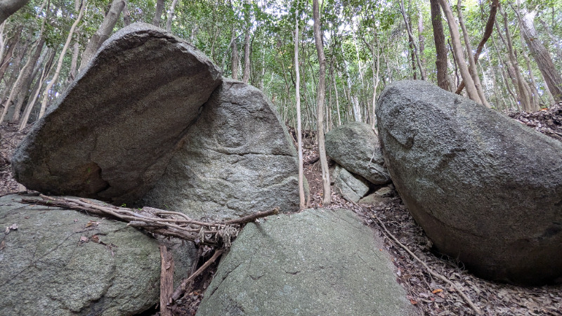
Basic Info
| Area Info | 愛知県 / 豊田 大楠林道エリア / |
|---|---|
| GPS Location | 35.0791379,137.2585608 |
| Elevation |
Approx. 271 m
Parking Elevation Approx. 157 m(Diff:114 m) |
| Distance from Parking | 585 m |
Route Distribution
Tap the bar chart to view routes for each grade.
ボルダー(1 routes)

Routes
Tap red lines to show the route card
Loading...
Nearby Crags
ラースベイダーの岩
豊田
大楠林道エリア
35.0794647
137.2580891
0
1
0
0
0
ラースベイダーの岩
- 豊田 / 大楠林道エリア
- タイプ別: B1
- 標高: 約 294 m
- 駐車場から: そこそこ 217.9270790765891433
木曽三川ロック
豊田
大楠林道エリア
35.07944415
137.257579
2
0
6
4
0
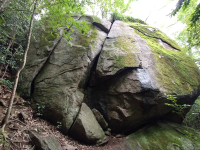
木曽三川ロック
2
- 豊田 / 大楠林道エリア
- タイプ別: F6 C4
- 標高: 約 269 m
- 駐車場から: そこそこ 164.8969356280882944
夕焼けの岩
豊田
大楠林道エリア
35.0793366
137.2571909
0
1
0
0
0
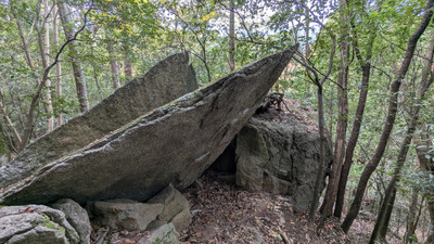
夕焼けの岩
- 豊田 / 大楠林道エリア
- タイプ別: B1
- 標高: 約 252 m
- 駐車場から: 近め 133.1697159149047935
綺麗きれい岩
豊田
大楠林道エリア
35.0798033
137.2572244
0
2
0
0
0
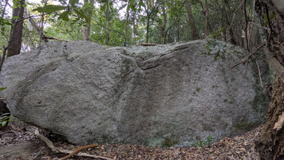
綺麗きれい岩
- 豊田 / 大楠林道エリア
- タイプ別: B2
- 標高: 約 254 m
- 駐車場から: 近め 128.9094717199617099
薄カブリ岩・凹角岩
豊田
大楠林道エリア
35.078978660769785
137.2569999541
0
13
0
0
0
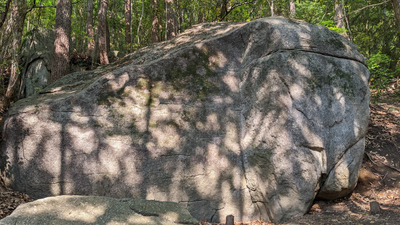
薄カブリ岩・凹角岩
- 豊田 / 大楠林道エリア
- タイプ別: B13
- 標高: 約 244 m
- 駐車場から: 近め 124.5131127457813782
紋ロック
豊田
大楠林道エリア
35.0785604
137.2571288
0
9
0
0
0
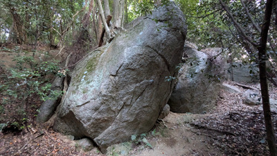
紋ロック
- 豊田 / 大楠林道エリア
- タイプ別: B9
- 標高: 約 233 m
- 駐車場から: 近め 117.731654487581436
シンドバットの岩
豊田
大楠林道エリア
35.0804088
137.2592035
0
1
0
0
0

シンドバットの岩
- 豊田 / 大楠林道エリア
- タイプ別: B1
- 標高: 約 315 m
- 駐車場から: 近め 62.6180716671661308
どんと晴れエリア
豊田
大楠林道エリア
35.0804119
137.2577836
0
8
0
0
0
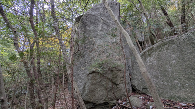
どんと晴れエリア
- 豊田 / 大楠林道エリア
- タイプ別: B8
- 標高: 約 276 m
- 駐車場から: そこそこ 165.4574649567633864
Loading...
 Tap the Share button (a square with an arrow) at the bottom of the screen. If you can't find it, tap "…" and select "Share"