
情報提供
How to Use
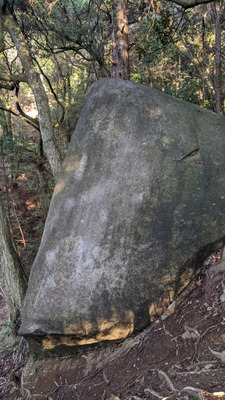
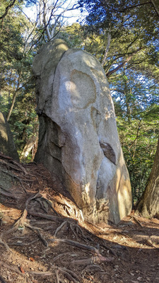
サンシャイン岩
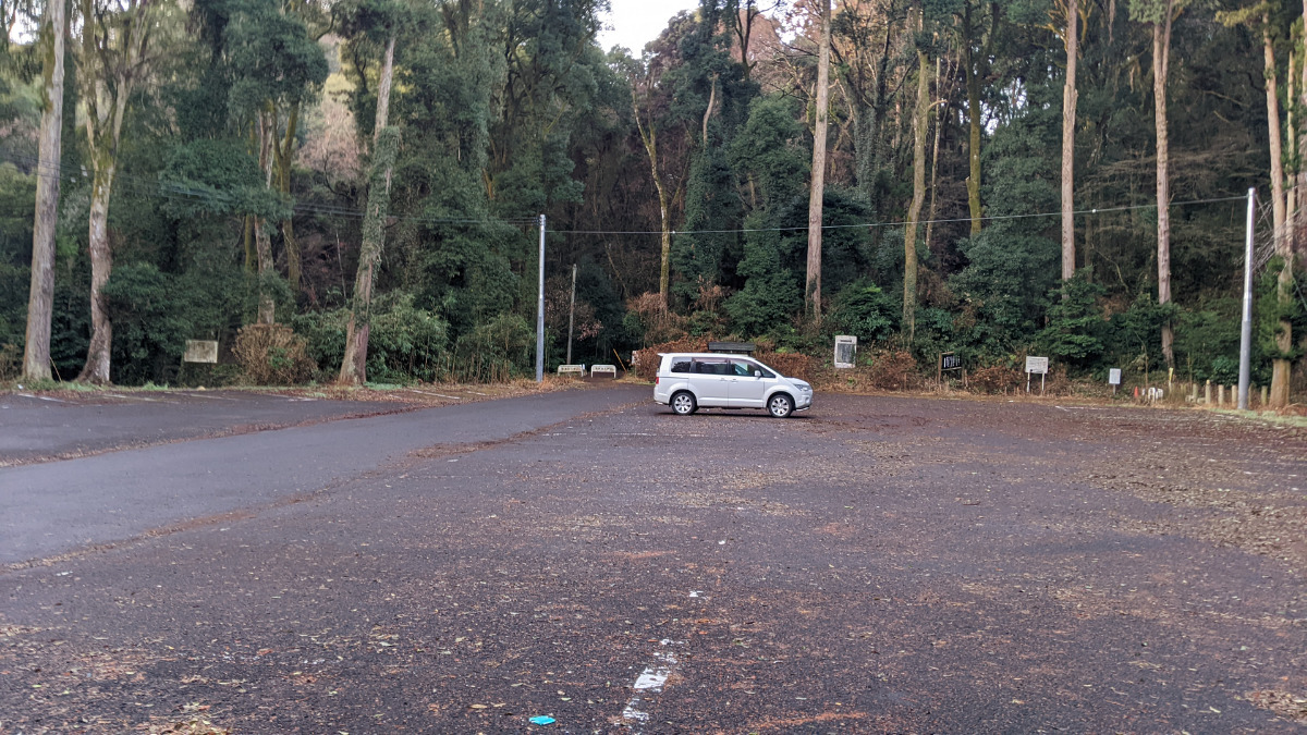
Checked in at 笠間ボルダー today:
0
Basic Info
| Area Info | 茨城県 / 笠間ボルダー |
|---|---|
| GPS Location | 36.380967,140.2690645 |
| Elevation |
Approx. 97 m
Parking Elevation Approx. 140 m(Diff:-43 m) |
| Distance from Parking | 436 m |
Route Distribution
Tap the bar chart to view routes for each grade.
ボルダー(1 routes)Routes
Tap red lines to show the route card
Loading...
動画
-
※自動抽出の動画
Nearby Crags
ヒップ岩周辺
ヒップ岩・ワシントン岩
笠間ボルダー
36.3811625
140.2692724
0
28
0
0
0
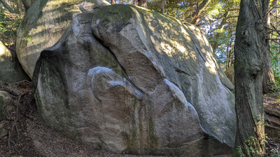
ヒップ岩周辺
- 笠間ボルダー
- タイプ別: B28
- 標高: 約 108 m
- 駐車場から: 近め -40.7716115029981152
シンプル岩
笠間ボルダー
36.3814786
140.2688831
0
16
0
0
0
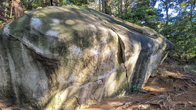
シンプル岩
- 笠間ボルダー
- タイプ別: B16
- 標高: 約 128 m
- 駐車場から: 近め -13.5888790554708912
ハートビート岩
笠間ボルダー
36.381485
140.2688519
0
10
0
0
0
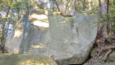
ハートビート岩
- 笠間ボルダー
- タイプ別: B10
- 標高: 約 128 m
- 駐車場から: 近め -13.5218470719335256
ポコ岩周辺
笠間ボルダー
36.38134644496388
140.26849957119862
0
7
0
0
0
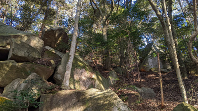
ポコ岩周辺
- 笠間ボルダー
- タイプ別: B7
- 標高: 約 135 m
- 駐車場から: 近め -5.661534833575497
掘り出し岩
笠間ボルダー
36.3815331
140.2692915
0
6
0
0
0
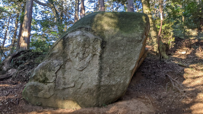
掘り出し岩
- 笠間ボルダー
- タイプ別: B6
- 標高: 約 116 m
- 駐車場から: 近め -28.0600451181818712
恵津子岩・ボス岩
笠間ボルダー
36.3812958
140.2682917
0
2
0
0
0
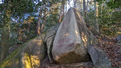
恵津子岩・ボス岩
- 笠間ボルダー
- タイプ別: B2
- 標高: 約 133 m
- 駐車場から: 近め -7.9113926703096915
ラブ岩
笠間ボルダー
36.38164717341926
140.26871852881874
0
6
0
0
0
ラブ岩
- 笠間ボルダー
- タイプ別: B6
- 標高: 約 143 m
- 駐車場から: 近め 3.1875031185086682
石器人岩
笠間ボルダー
36.38176003208204
140.26893842637193
0
5
0
0
0

石器人岩
- 笠間ボルダー
- タイプ別: B5
- 標高: 約 130 m
- 駐車場から: 近め -10.559258385470355
Loading...
 Tap the Share button (a square with an arrow) at the bottom of the screen. If you can't find it, tap "…" and select "Share"