情報提供
How to Use
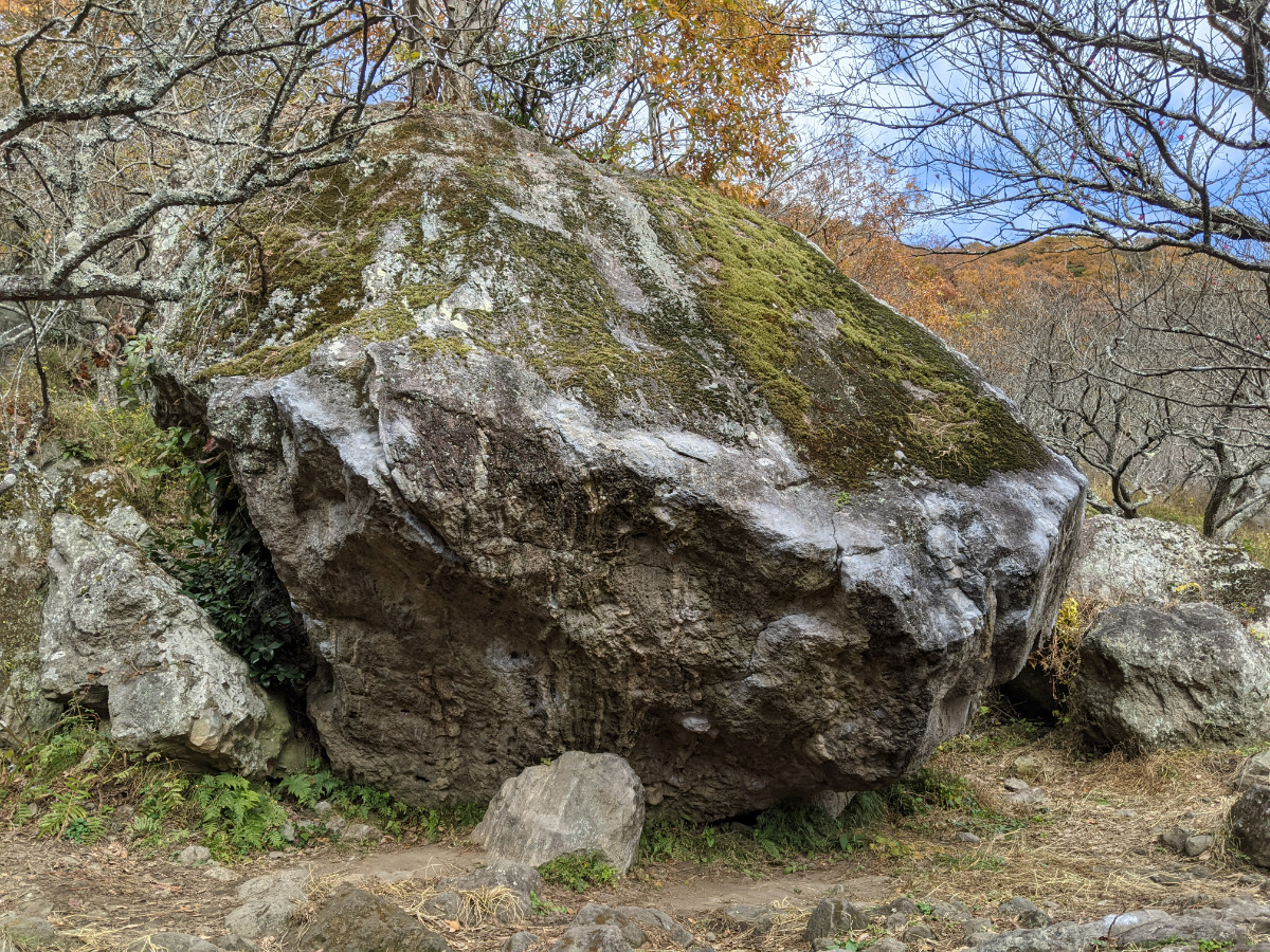
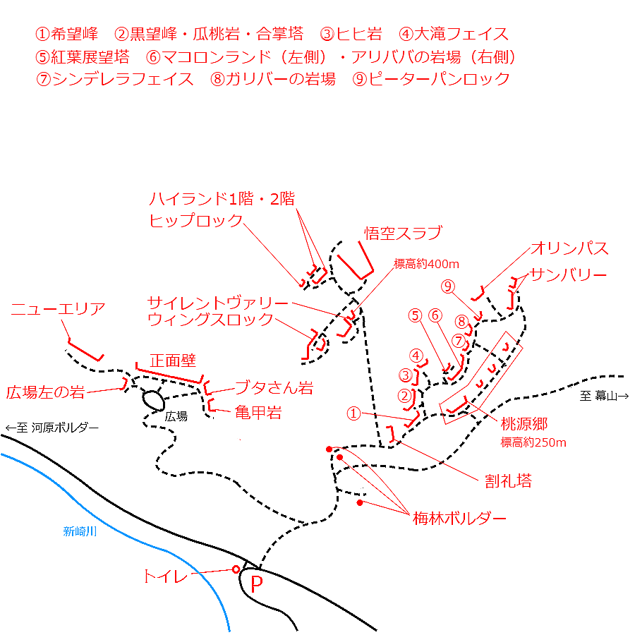
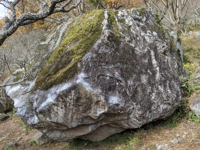
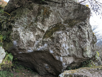
貝殻岩・梅林ボルダー
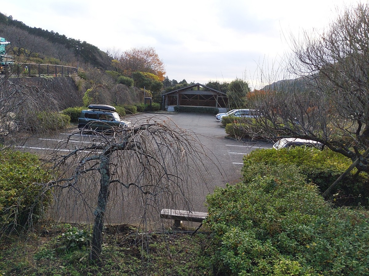
Checked in at 湯河原 today:
0
Basic Info
| Area Info | 神奈川県 / 湯河原 |
|---|---|
| GPS Location | 35.16809127766388,139.09038349986076 |
| Elevation |
Approx. 261 m
Parking Elevation Approx. 195 m(Diff:66 m) |
| Distance from Parking | 172 m |
| Monthly Activity | |
| Popular Problems | |
| Favorites |
4
|
 mmiioo
Route Distribution
Tap the bar chart to view routes for each grade.
ボルダー(27 routes)⭐Recommended Routes
Sign in to get more
- Automatic route recommendations matched to your grade, based on your ascents
- Log your ascents and track your progress with charts
- Save favorite crags and routes, and view topos offline
Routes
Tap red lines to show the route card
-
貝殻岩
-
-
-
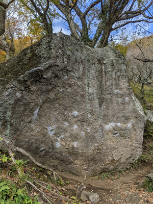
梅林ボルダー
-
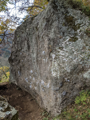
貴船
ボルダー
1級
18
1
0
8
35.16809127766388
139.09038349986076
パイプライン
ボルダー
初段
10
0
0
9
35.16809127766388
139.09038349986076
木漏れ日
ボルダー
1級
9
2
0
2
35.16809127766388
139.09038349986076
袈裟切り
ボルダー
2級
3
0
0
2
35.16809127766388
139.09038349986076
ガンバレ西村君
ボルダー
5級
18
1
0
8
35.16809127766388
139.09038349986076
裏街道
ボルダー
5級
2
0
0
1
35.16809127766388
139.09038349986076
Loading...
動画
-
※自動抽出の動画
-
※自動抽出の動画
-
※自動抽出の動画
-
※自動抽出の動画
-
※自動抽出の動画
Nearby Crags
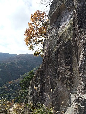
米粒岩と周辺
湯河原
35.16731230562724
139.09050442673518
2
5
0
0
0
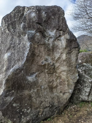
米粒岩と周辺
2
- 湯河原
- タイプ別: B5
- 標高: 約 220 m
- 駐車場から: 近め 8.9524164175688475
希望峰
きぼうみね
Kibomine
湯河原
35.1687002
139.0909956
5
1
15
0
0
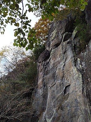
希望峰Kibomine
5
- 湯河原
- タイプ別: B1 F15
- 標高: 約 282 m
- 駐車場から: 近め 67.7607626846778867
黒望峰・合掌塔
湯河原
35.168770401357044
139.09103373937248
0
0
12
0
0
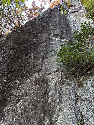
黒望峰・合掌塔
- 湯河原
- タイプ別: F12
- 標高: 約 285 m
- 駐車場から: 近め 72.364520436490143
ヒヒ岩・大滝フェイス
湯河原
35.16885310815297
139.09136652954658
2
0
12
0
0
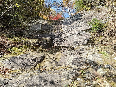
ヒヒ岩・大滝フェイス
2
- 湯河原
- タイプ別: F12
- 標高: 約 285 m
- 駐車場から: 近め 79.237343300273064
桃源郷
とうげんきょう
Togenkyo
湯河原
35.168575
139.0916677
10
0
20
0
0
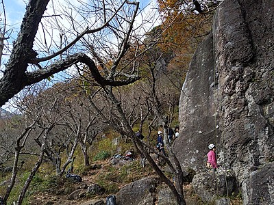
桃源郷Togenkyo
10
- 湯河原
- タイプ別: F20
- 標高: 約 271 m
- 駐車場から: 近め 65.9345065178130108
紅葉展望塔
湯河原
35.16893504473785
139.09165970053067
1
0
5
0
0
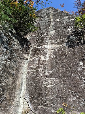
紅葉展望塔
1
- 湯河原
- タイプ別: F5
- 標高: 約 302 m
- 駐車場から: 近め 101.9438082032203059
マコロンランド・アリババの岩場
湯河原
35.1688819
139.0917319
5
0
20
1
0
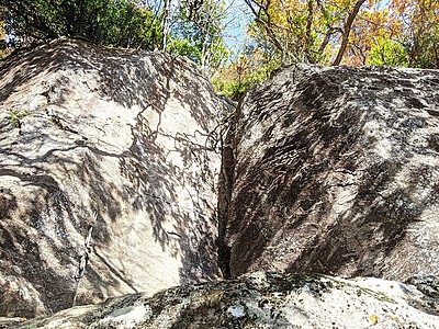
マコロンランド・アリババの岩場
5
- 湯河原
- タイプ別: F20 C1
- 標高: 約 295 m
- 駐車場から: 近め 95.2764946156167
Loading...

 Tap the Share button (a square with an arrow) at the bottom of the screen. If you can't find it, tap "…" and select "Share"