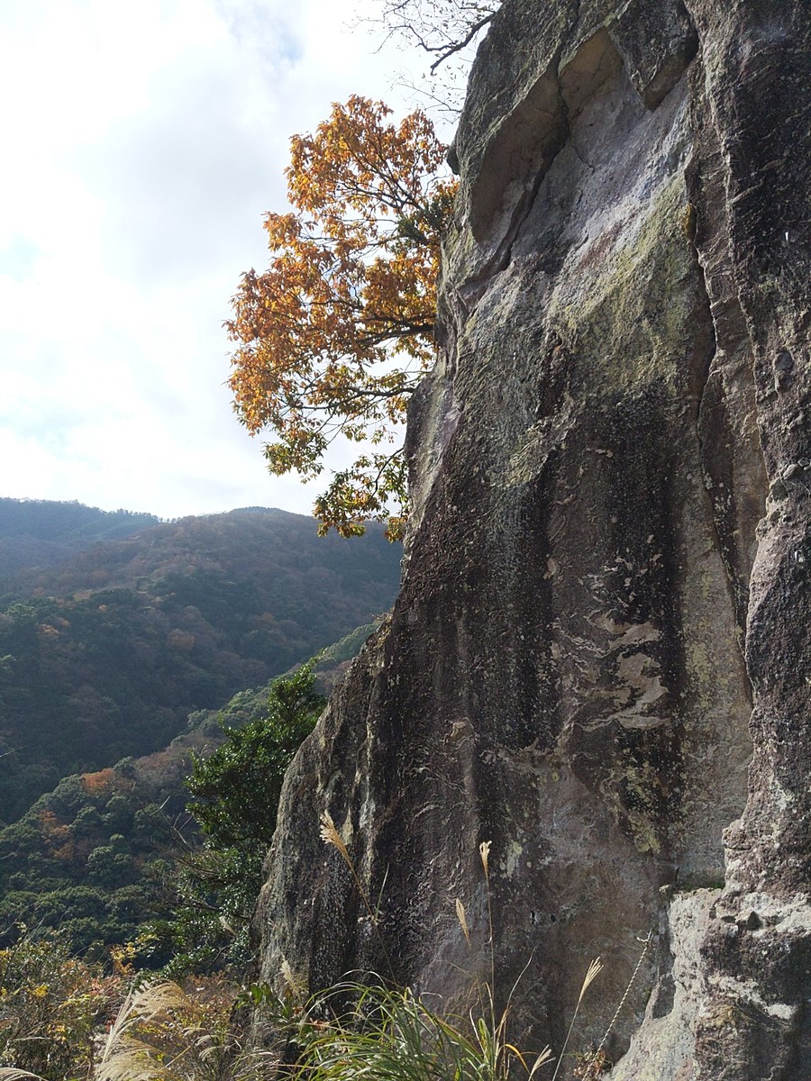
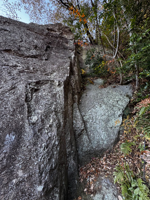
 割礼塔/ダークヘラー
| Area Info | 神奈川県 / 湯河原 |
|---|---|
| GPS Location | 35.1685877,139.090916 |
| Elevation |
Approx. 280 m
Parking Elevation Approx. 195 m(Diff:85 m) |
| Distance from Parking | 245 m |
| Aspect / Sun Exposure |
E, SE, S
Sun Hours (Estimate)
E: 6:30〜11:30
SE: 6:30〜14:30
S: 6:30〜16:40
|
| Monthly Activity | |
| Popular Problems |
Tap the bar chart to view routes for each grade.
リード(フェイス)(10 routes)Tap red lines to show the route card
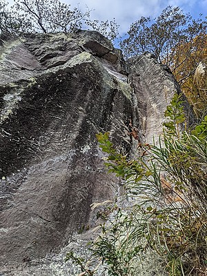
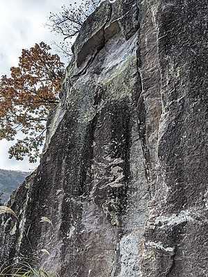
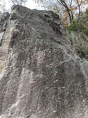
※自動抽出の動画
※自動抽出の動画
※自動抽出の動画
※自動抽出の動画
※自動抽出の動画
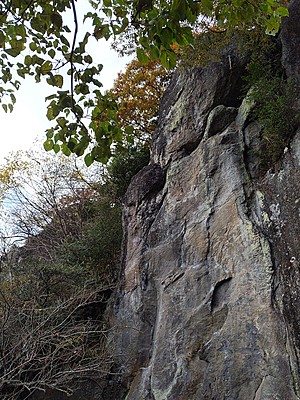
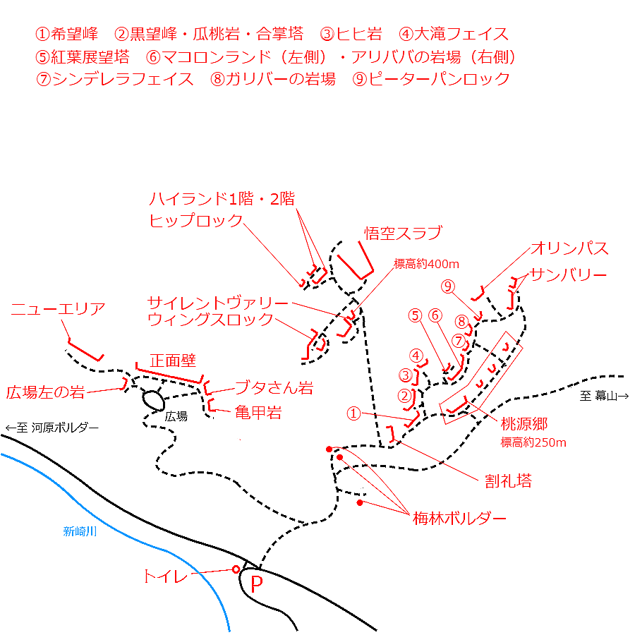
希望峰Kibomine
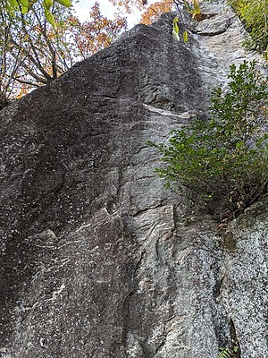
黒望峰・合掌塔
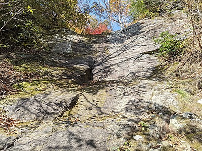
ヒヒ岩・大滝フェイス
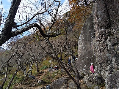
桃源郷Togenkyo
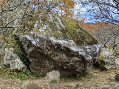
貝殻岩・梅林ボルダー
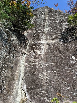
紅葉展望塔
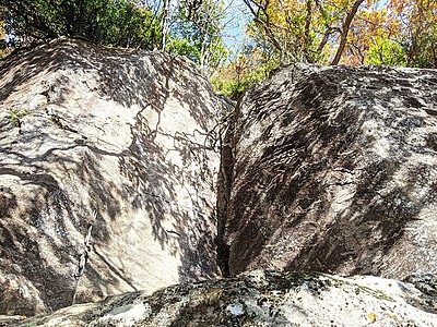
マコロンランド・アリババの岩場
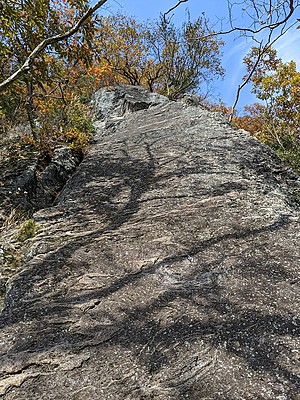
シンデレラフェイス

 Tap the Share button (a square with an arrow) at the bottom of the screen. If you can't find it, tap "…" and select "Share"