情報提供
How to Use

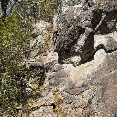 サンバリー/ミスサイゴ

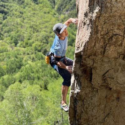
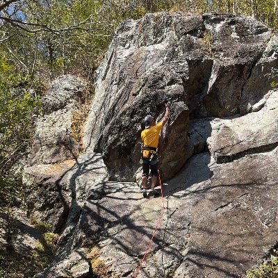 サンバリー/ホット・コールド

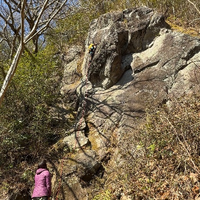 サンバリー/満腹食堂

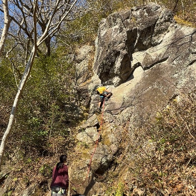 サンバリー/ドロドロトロ

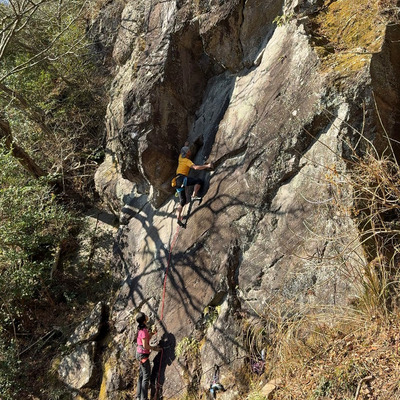 サンバリー/演歌の花道

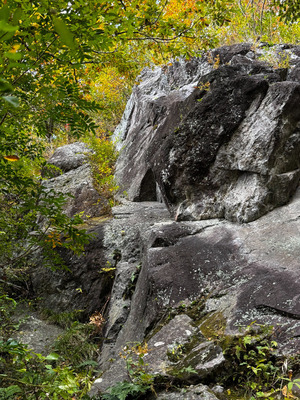 サンバリー/満腹食堂

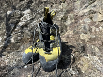
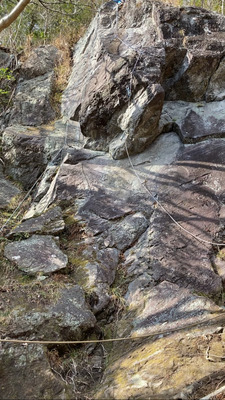 サンバリー/ホット・コールド


サンバリー
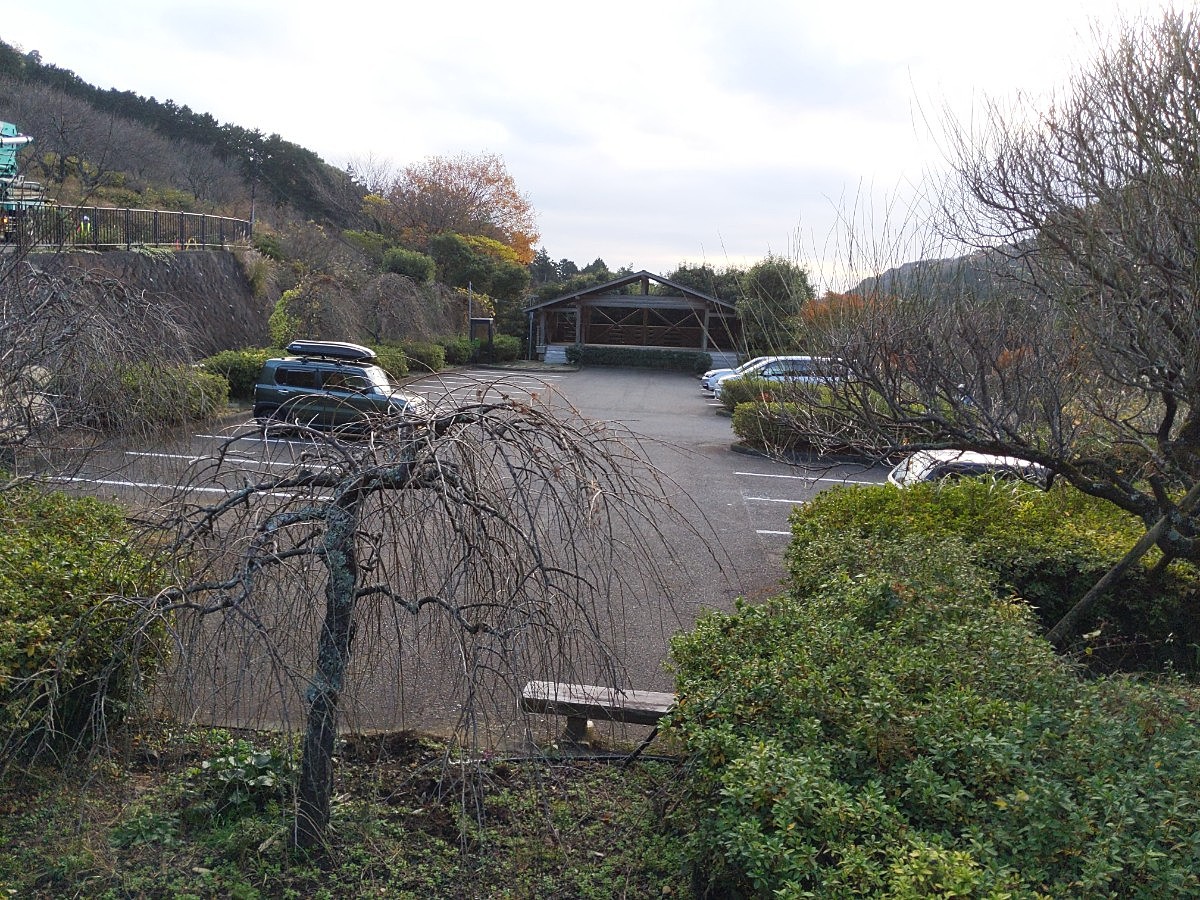
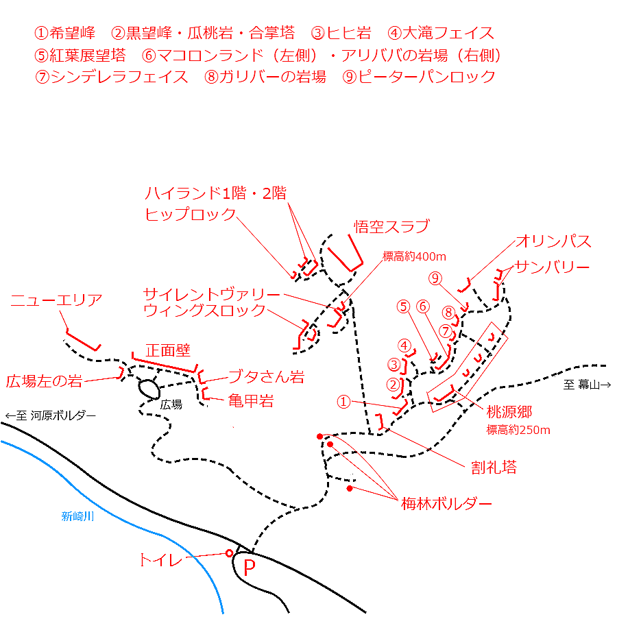
Checked in at 湯河原 today:
0
Basic Info
| Area Info | 神奈川県 / 湯河原 |
|---|---|
| GPS Location | 35.1693048,139.0925411 |
| Elevation |
Approx. 320 m
Parking Elevation Approx. 195 m(Diff:125 m) |
| Distance from Parking | 403 m |
| Aspect / Sun Exposure |
S
Sun Hours (Estimate)
S: 6:30〜16:40
|
| Monthly Activity | |
| Popular Problems | |
| Favorites |
4
|
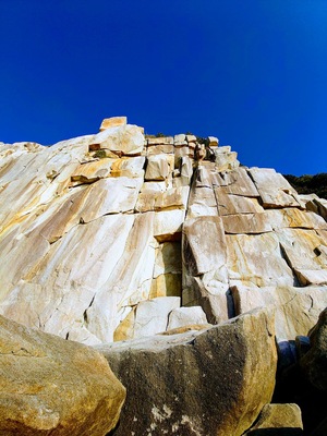 あんころ先生
Route Distribution
Tap the bar chart to view routes for each grade.
リード(フェイス)(12 routes)⭐Recommended Routes
Sign in to get more
- Automatic route recommendations matched to your grade, based on your ascents
- Log your ascents and track your progress with charts
- Save favorite crags and routes, and view topos offline
Routes
Tap red lines to show the route card
-
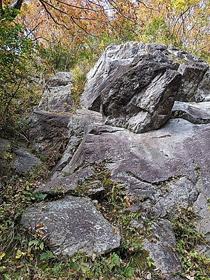
-
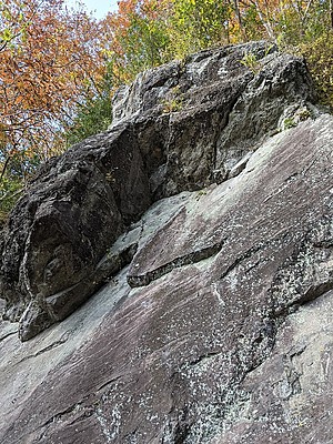
-
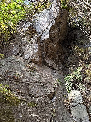
5mほど右の岩
ドロドロトロ
リード(フェイス)
5.10a
27
2
0
9
35.1693048
139.0925411
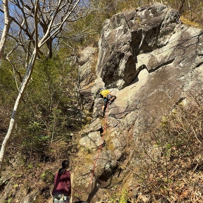
ミスサイゴ
リード(フェイス)
5.10b
21
2
0
6
35.1693048
139.0925411
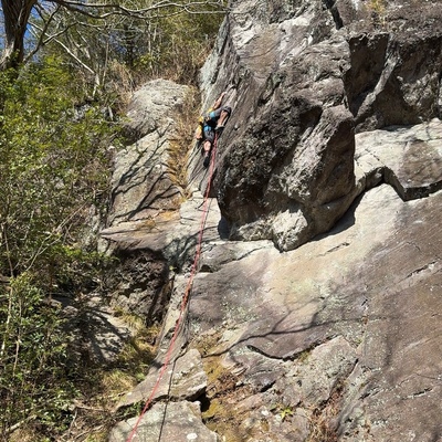
満腹食堂
リード(フェイス)
5.10a
52
4
1
11
35.1693048
139.0925411
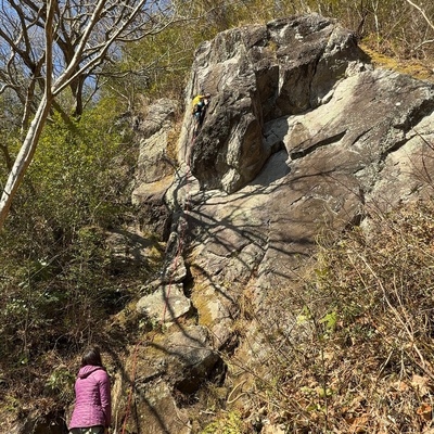
ホット・コールド
リード(フェイス)
5.11a
32
3
0
7
35.1693048
139.0925411
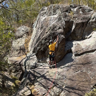
演歌の花道
リード(フェイス)
5.10c
35
4
0
6
35.1693048
139.0925411
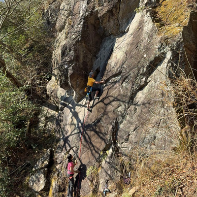
グロー・ユアー・ロック
リード(フェイス)
5.11b
10
1
0
4
35.1693048
139.0925411
グレゴリーおじさん
リード(フェイス)
5.9
15
2
0
4
35.1693048
139.0925411
マザースカイ
リード(フェイス)
5.11b
16
1
0
7
35.1693048
139.0925411
Loading...
動画
-
※自動抽出の動画
-
※自動抽出の動画
-
※自動抽出の動画
-
※自動抽出の動画
-
※自動抽出の動画
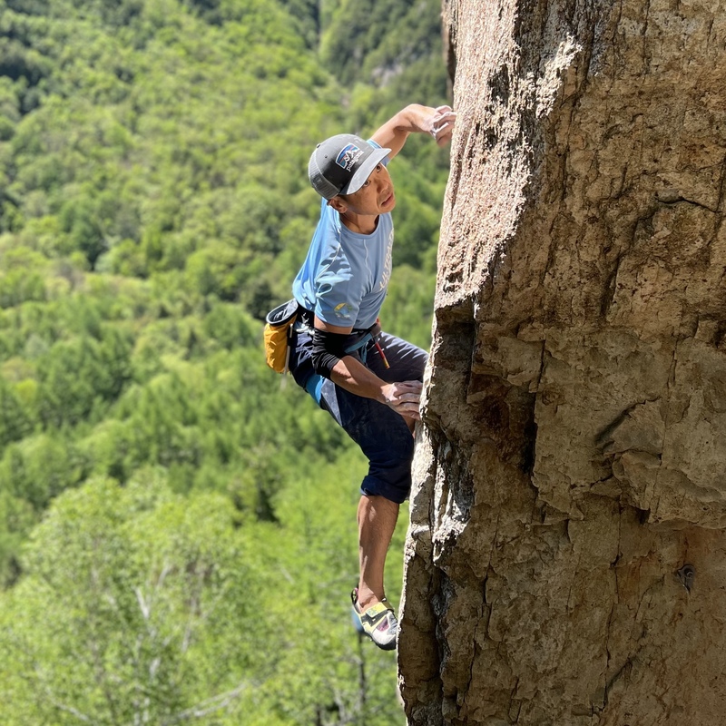
Nearby Crags
オリンパスの丘
湯河原
35.1693286
139.0919883
4
0
5
0
0
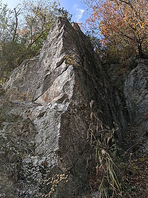
オリンパスの丘
4
- 湯河原
- タイプ別: F5
- 標高: 約 337 m
- 駐車場から: そこそこ 157.744402464840591
ピーターパンロック
湯河原
35.16905
139.0919824
0
0
5
0
0
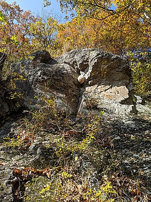
ピーターパンロック
- 湯河原
- タイプ別: F5
- 標高: 約 308 m
- 駐車場から: 近め 117.5761349113570116
ガリバーの岩場
湯河原
35.16903628291238
139.09187342719886
2
0
6
0
0
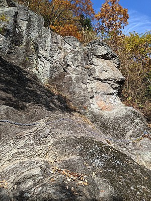
ガリバーの岩場
2
- 湯河原
- タイプ別: F6
- 標高: 約 308 m
- 駐車場から: 近め 114.9055127245094163
シンデレラフェイス
湯河原
35.1689636
139.0918257
3
0
4
0
0
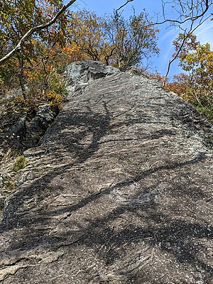
シンデレラフェイス
3
- 湯河原
- タイプ別: F4
- 標高: 約 302 m
- 駐車場から: 近め 105.9495859943754099
マコロンランド・アリババの岩場
湯河原
35.1688819
139.0917319
5
0
20
1
0
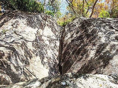
マコロンランド・アリババの岩場
5
- 湯河原
- タイプ別: F20 C1
- 標高: 約 295 m
- 駐車場から: 近め 95.2764946156167
紅葉展望塔
湯河原
35.16893504473785
139.09165970053067
1
0
5
0
0
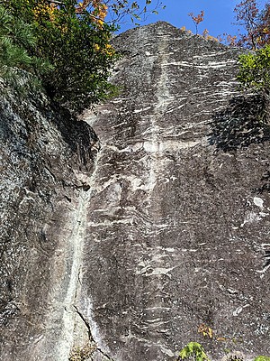
紅葉展望塔
1
- 湯河原
- タイプ別: F5
- 標高: 約 302 m
- 駐車場から: 近め 101.9438082032203059
桃源郷
とうげんきょう
Togenkyo
湯河原
35.168575
139.0916677
10
0
20
0
0
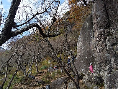
桃源郷Togenkyo
10
- 湯河原
- タイプ別: F20
- 標高: 約 271 m
- 駐車場から: 近め 65.9345065178130108
ヒヒ岩・大滝フェイス
湯河原
35.16885310815297
139.09136652954658
2
0
12
0
0
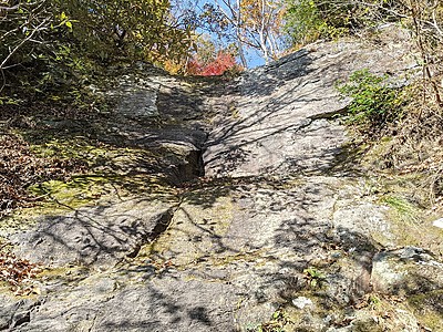
ヒヒ岩・大滝フェイス
2
- 湯河原
- タイプ別: F12
- 標高: 約 285 m
- 駐車場から: 近め 79.237343300273064
Loading...
 Tap the Share button (a square with an arrow) at the bottom of the screen. If you can't find it, tap "…" and select "Share"