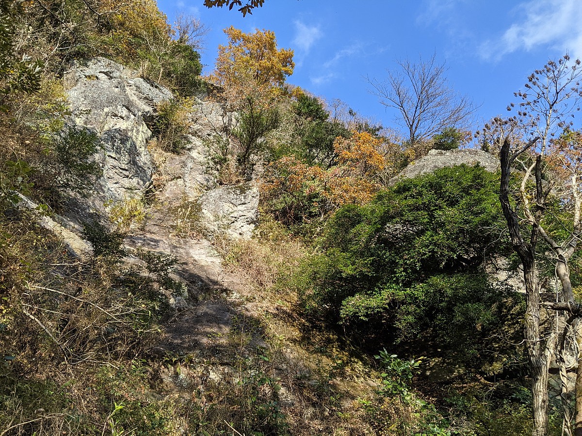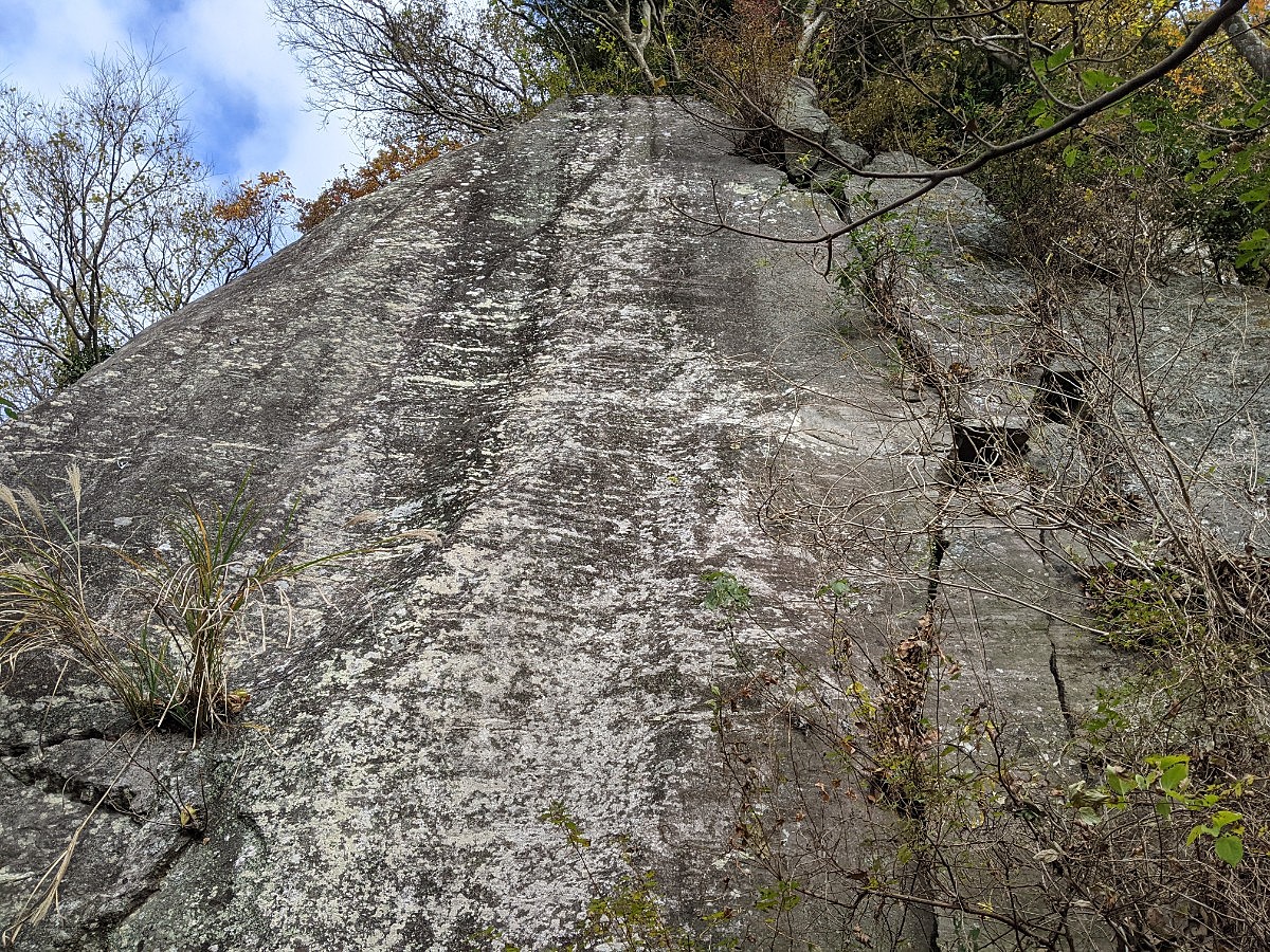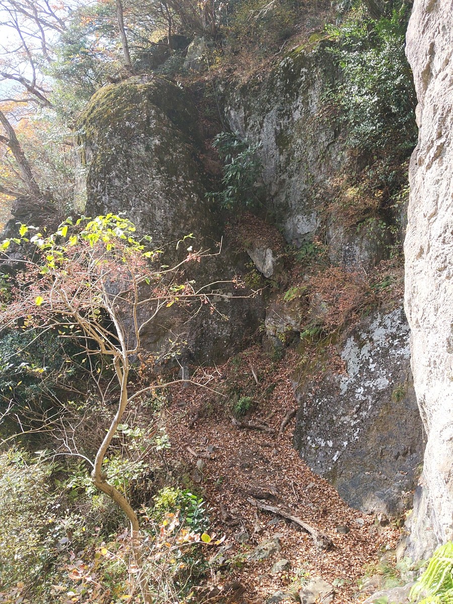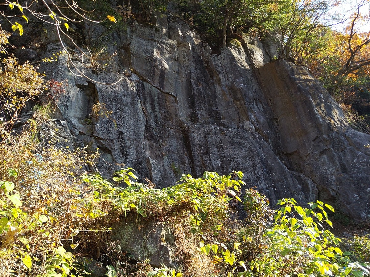
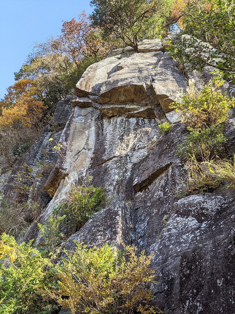
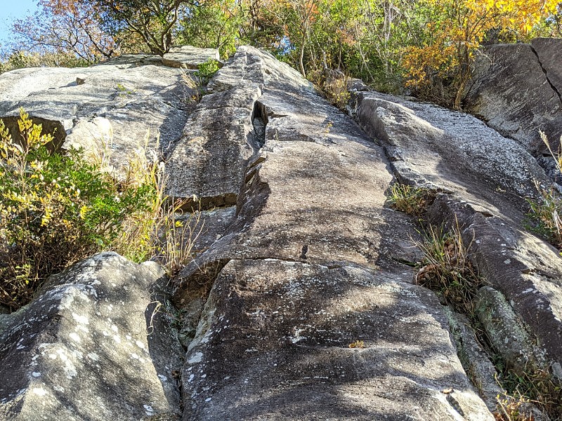
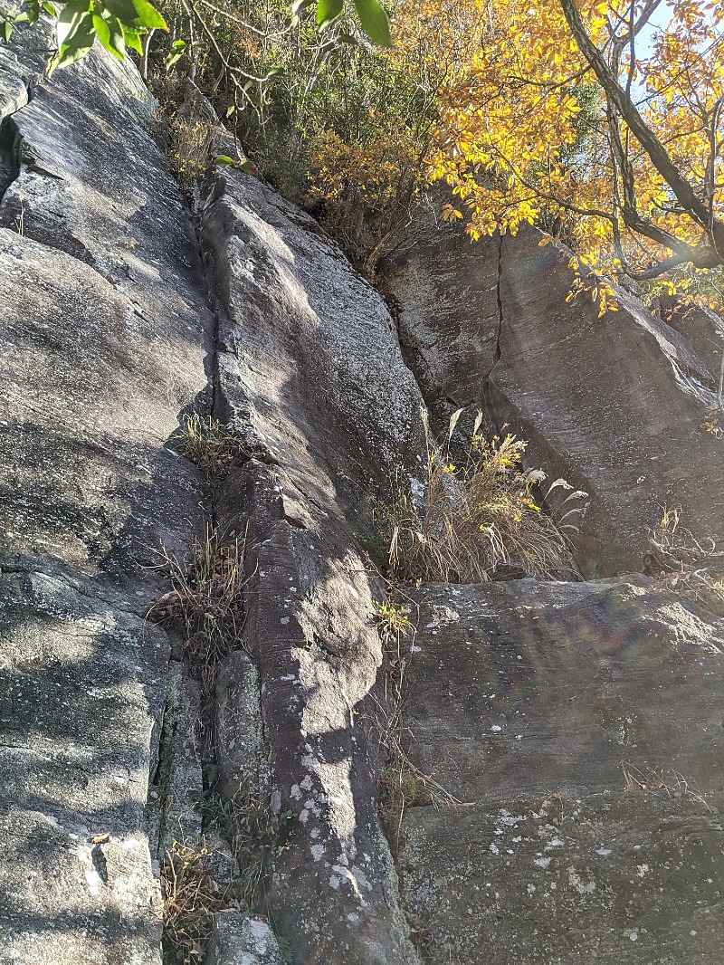
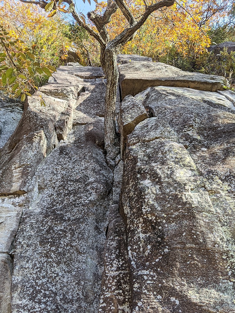
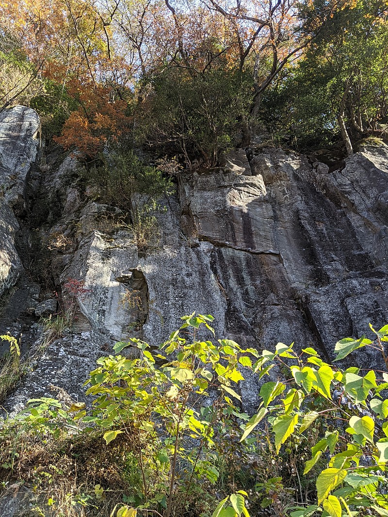
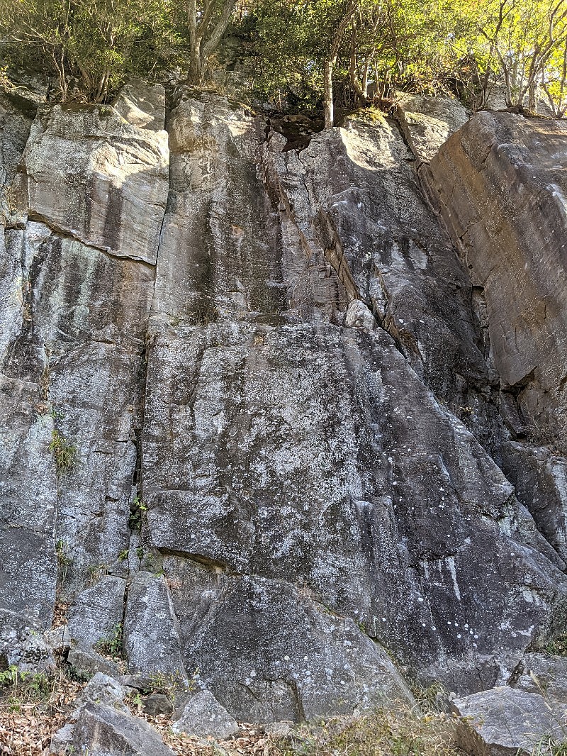
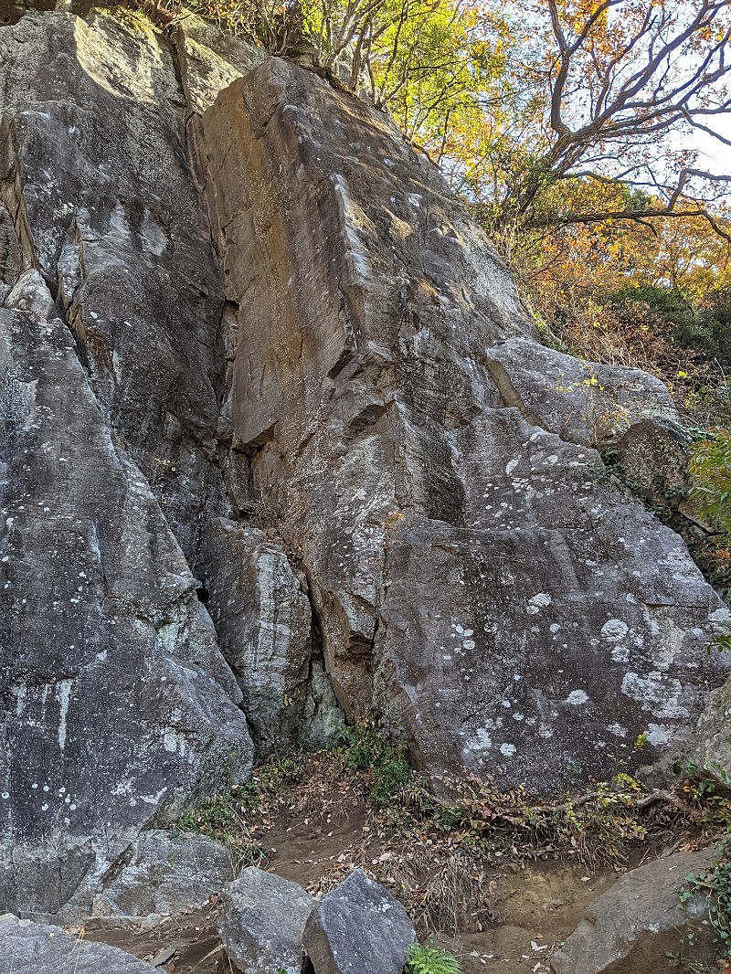
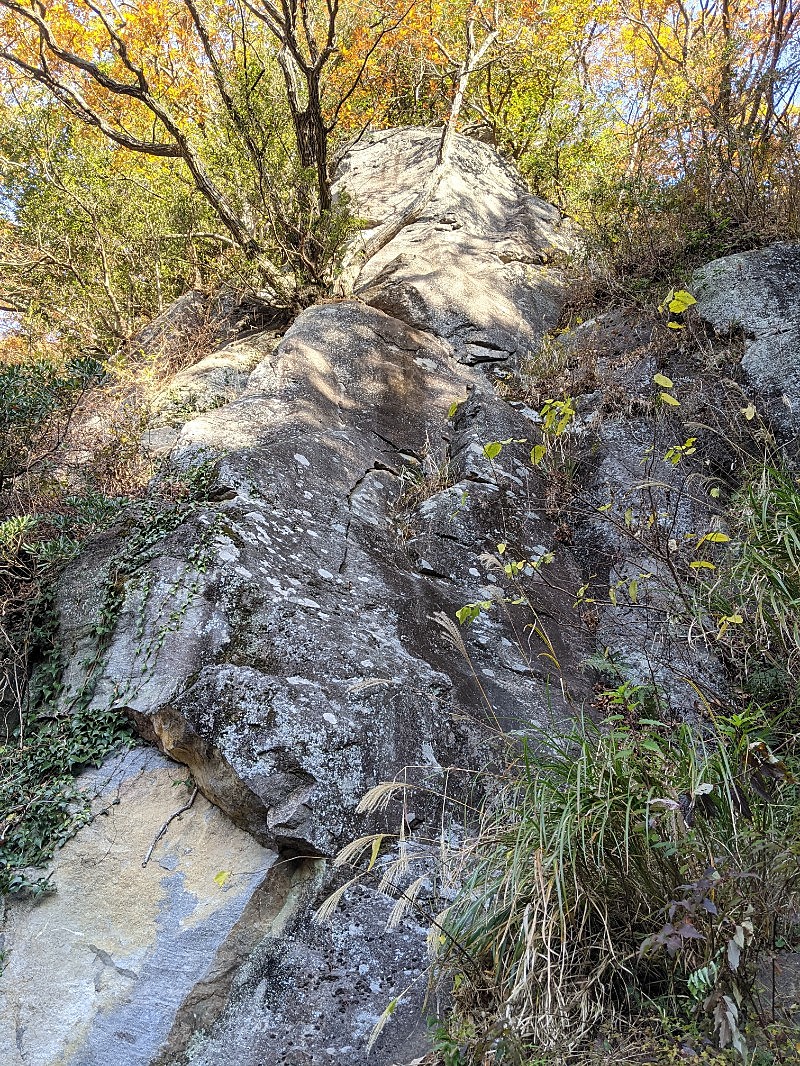
湯河原幕岩・正面壁/カマクラ
湯河原幕岩・正面壁/いつか
湯河原幕岩・正面壁/かずえちゃん・としおちゃん
湯河原幕岩・正面壁/ジムシー
湯河原幕岩・正面壁/あもんブライダル

湯河原幕岩・正面壁/スパイダーマン
湯河原幕岩・正面壁/コナン

湯河原幕岩・正面壁/ペーパードール
湯河原幕岩・正面壁/ベビーピナクル

湯河原幕岩・正面壁/スパイダーキッド

.jpg)

.jpg)
.jpg)
.jpg)
.jpg)
.jpg)
.37.24.png)
.jpg)
.jpg)

.jpg)