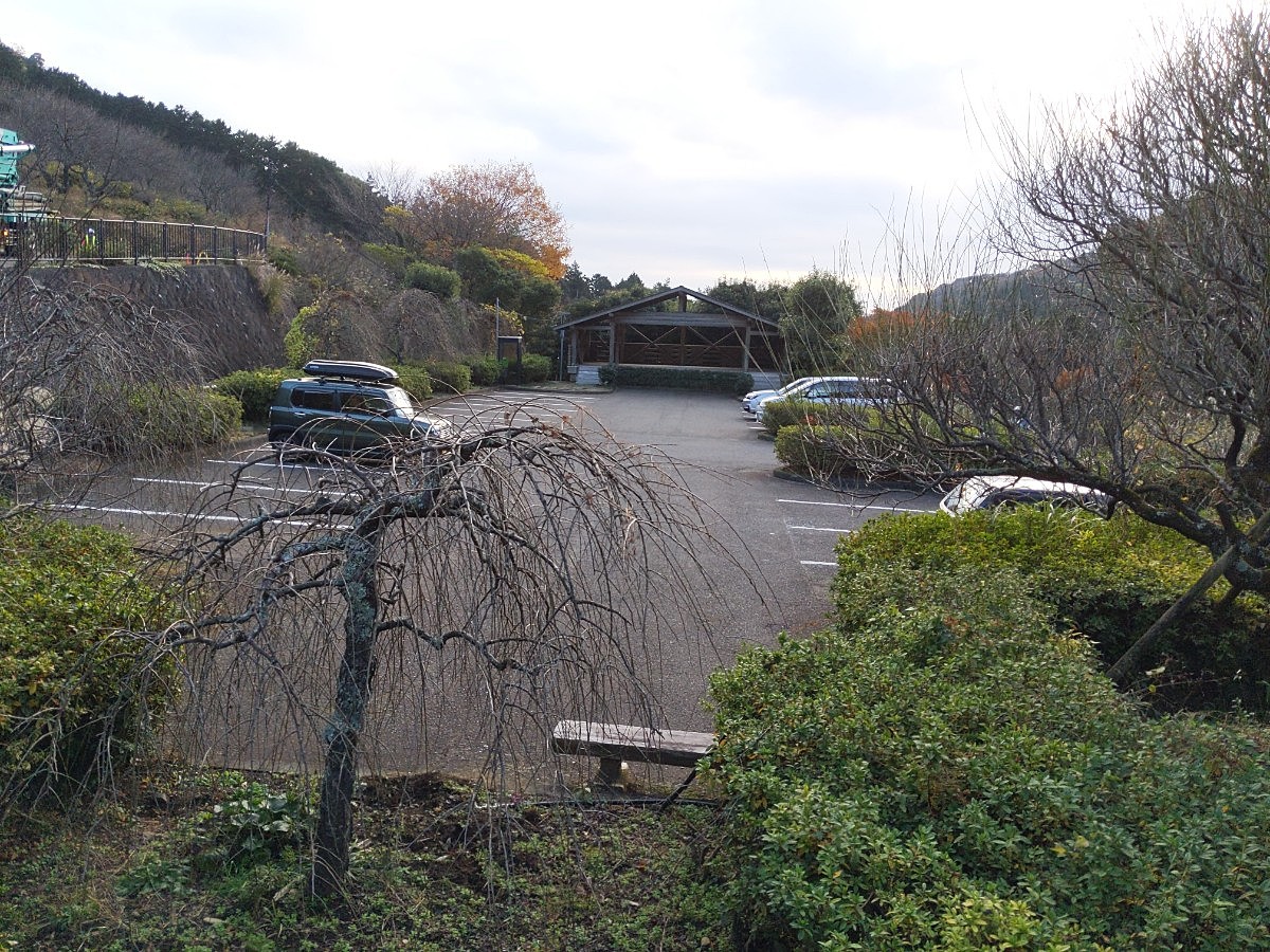
情報提供
How to Use

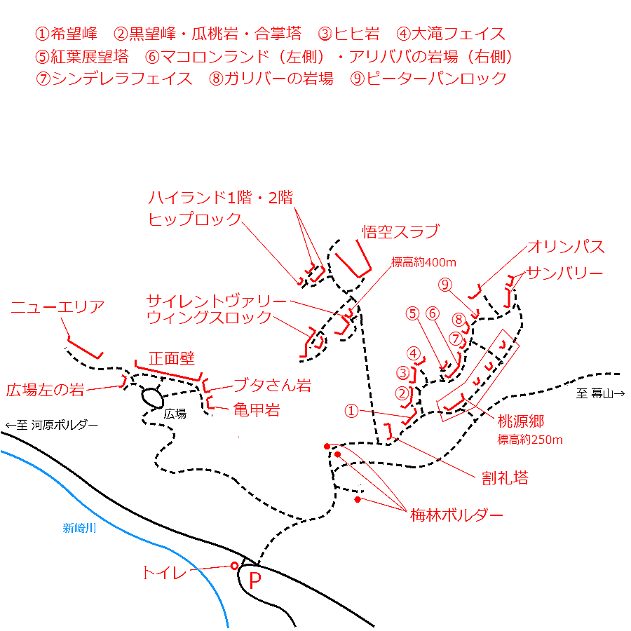
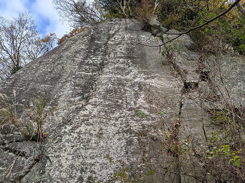
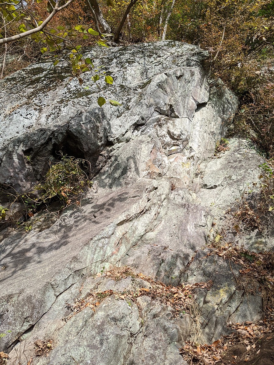
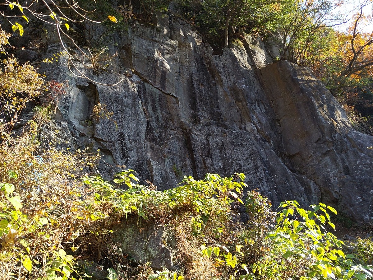
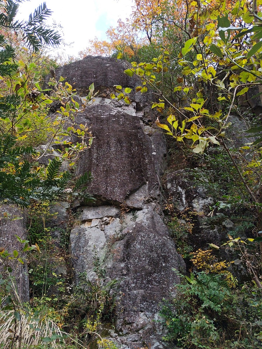
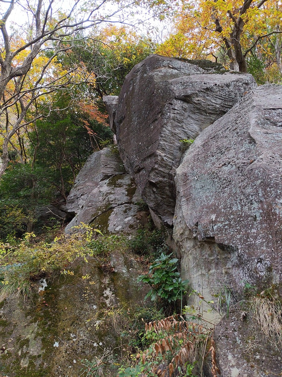
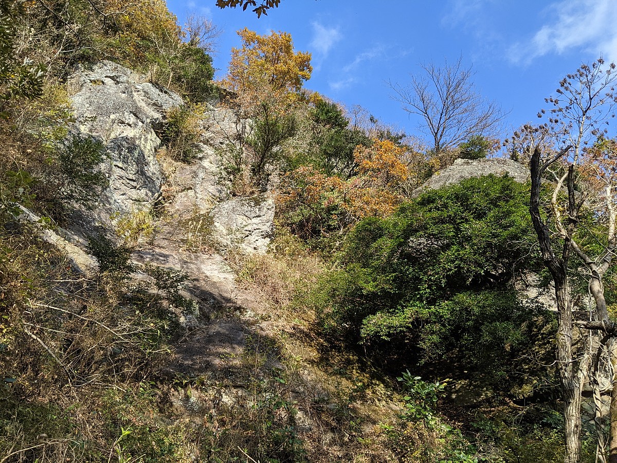
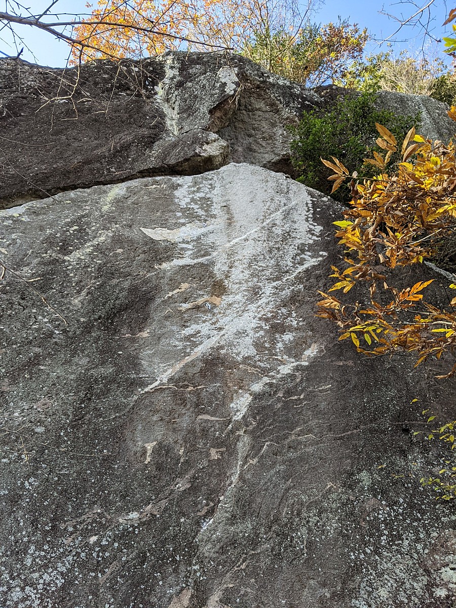
ベビーエプロン・イノキ岩
Basic Info
| Area Info | 神奈川県 / 湯河原 |
|---|---|
| GPS Location | 35.1699444,139.0869528 |
| Elevation |
Approx. 337 m
Parking Elevation Approx. 195 m(Diff:142 m) |
| Distance from Parking | 414 m |
Route Distribution
Tap the bar chart to view routes for each grade.
リード(フェイス)(14 routes)Routes
Tap red lines to show route name and grade
-
イノキ岩
-
-
簡単
5.10台
5.11台
クラック
フェイス
スパイラルドライバー
リード(フェイス)
5.10c
2
1
0
0
35.1699444
139.0869528
Loading...
Comments
No comments yet.
Post CommentNearby Crags
スライドロック
湯河原
35.16983038658407
139.08724516078263
0
0
4
0
0

スライドロック
- 湯河原
- タイプ別: F4
- 難易度別: E3 M1
- 駐車場から: そこそこ 167.0089891889509662
ニューエリア手前
湯河原
35.16973495565953
139.08751754415616
0
0
9
0
0
ニューエリア手前
- 湯河原
- タイプ別: F9
- 難易度別: E6 M3
- 駐車場から: 近め 149.111465964875379
丹沢広場左の岩
湯河原
35.1695146
139.087763
0
0
2
0
0
丹沢広場左の岩
- 湯河原
- タイプ別: F2
- 難易度別: E2
- 駐車場から: 近め 102.9022677871132446
湯河原幕岩・正面壁
湯河原
35.169206510511735
139.08841539933624
16
0
50
8
0
湯河原幕岩・正面壁
16
- 湯河原
- タイプ別: F50 C8
- 難易度別: E23 M27 H8
- 駐車場から: 近め 94.0323337209563958
ブタさん岩
湯河原
35.1688076
139.0884411
0
0
3
0
0
ブタさん岩
- 湯河原
- タイプ別: F3
- 難易度別: E1 M2
- 駐車場から: 近め 58.2299916091098525
亀甲岩
湯河原
35.1687326
139.0886133
0
0
5
0
0
亀甲岩
- 湯河原
- タイプ別: F5
- 難易度別: E2 M2 H1
- 駐車場から: 近め 54.395696399344128
ウィングスロック
湯河原
35.1694579
139.0900567
2
0
29
0
0
ウィングスロック
2
- 湯河原
- タイプ別: F29
- 難易度別: E17 M8 H4
- 駐車場から: そこそこ 153.9796125103565394
ハイランド
湯河原
35.1702344
139.0901606
0
0
16
0
0
ハイランド
- 湯河原
- タイプ別: F16
- 難易度別: E7 M7 H2
- 駐車場から: そこそこ 283.367258713174944
Loading...
×