
情報提供
How to Use
スライドロック
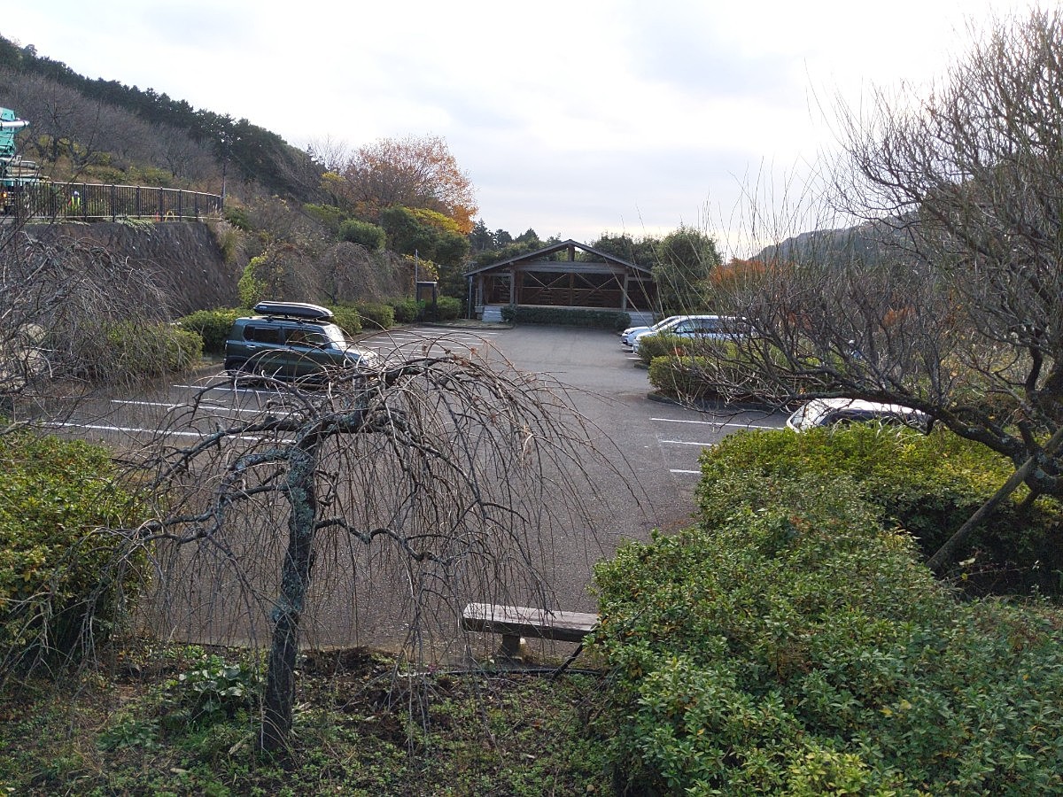
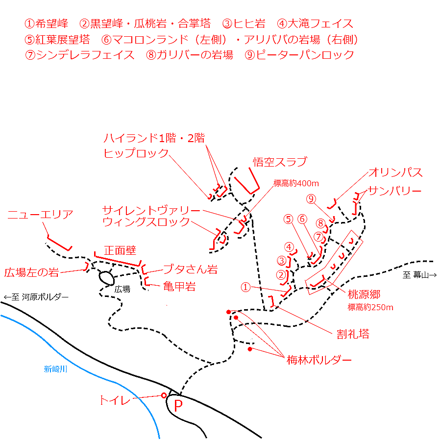
Checked in at 湯河原 today:
0
Basic Info
| Area Info | 神奈川県 / 湯河原 |
|---|---|
| GPS Location | 35.16983038658407,139.08724516078263 |
| Elevation |
Approx. 338 m
Parking Elevation Approx. 195 m(Diff:143 m) |
| Distance from Parking | 389 m |
Route Distribution
Tap the bar chart to view routes for each grade.
リード(フェイス)(4 routes)Routes

No topo photo yet.
Add Crag Photo to improve the topo!
Add Photo for This Crag
* Account required to add photos.
※写真と課題のラインを登録する事で、こちらのページのように課題の位置が分かるようになります。
Loading...
Nearby Crags
ニューエリア手前
湯河原
35.16973495565953
139.08751754415616
0
0
9
0
0
ニューエリア手前
- 湯河原
- タイプ別: F9
- 標高: 約 330 m
- 駐車場から: 近め 149.111465964875379
ベビーエプロン・イノキ岩
湯河原
35.1699444
139.0869528
0
0
14
0
0
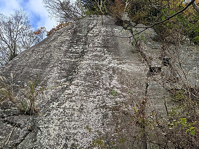
ベビーエプロン・イノキ岩
- 湯河原
- タイプ別: F14
- 標高: 約 337 m
- 駐車場から: そこそこ 176.2879543131010548
丹沢広場左の岩
湯河原
35.1695146
139.087763
0
0
2
0
0
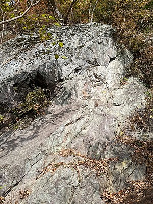
丹沢広場左の岩
- 湯河原
- タイプ別: F2
- 標高: 約 297 m
- 駐車場から: 近め 102.9022677871132446
湯河原幕岩・正面壁
湯河原
35.169206510511735
139.08841539933624
16
0
50
8
0
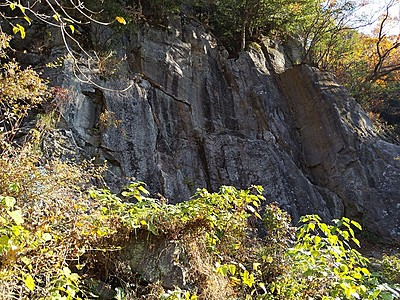
湯河原幕岩・正面壁
16
- 湯河原
- タイプ別: F50 C8
- 標高: 約 306 m
- 駐車場から: 近め 94.0323337209563958
ブタさん岩
湯河原
35.1688076
139.0884411
0
0
3
0
0
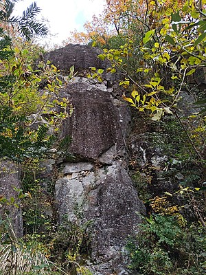
ブタさん岩
- 湯河原
- タイプ別: F3
- 標高: 約 276 m
- 駐車場から: 近め 58.2299916091098525
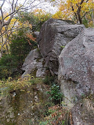
ウィングスロック
湯河原
35.1694579
139.0900567
2
0
29
0
0
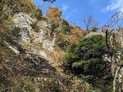
ウィングスロック
2
- 湯河原
- タイプ別: F29
- 標高: 約 364 m
- 駐車場から: そこそこ 153.9796125103565394
ハイランド
湯河原
35.1702344
139.0901606
0
0
16
0
0
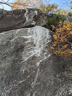
ハイランド
- 湯河原
- タイプ別: F16
- 標高: 約 437 m
- 駐車場から: そこそこ 283.367258713174944
Loading...
 Tap the Share button (a square with an arrow) at the bottom of the screen. If you can't find it, tap "…" and select "Share"