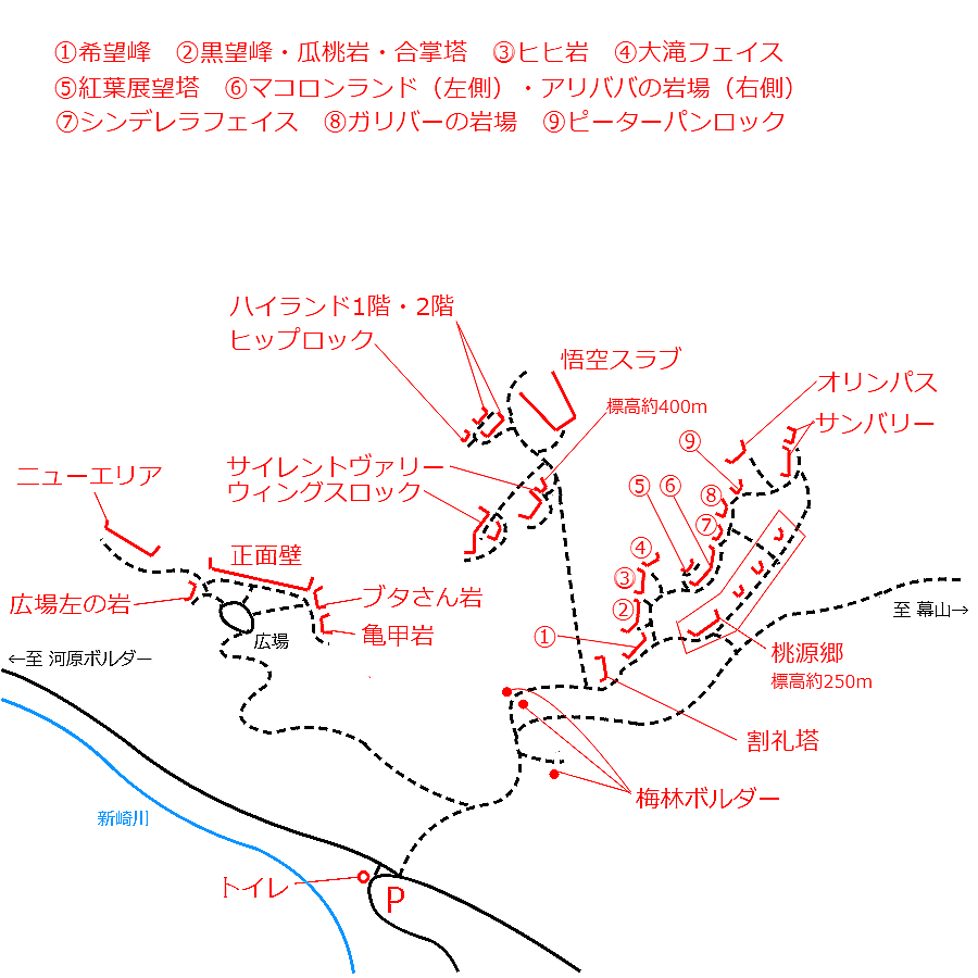
情報提供
How to Use
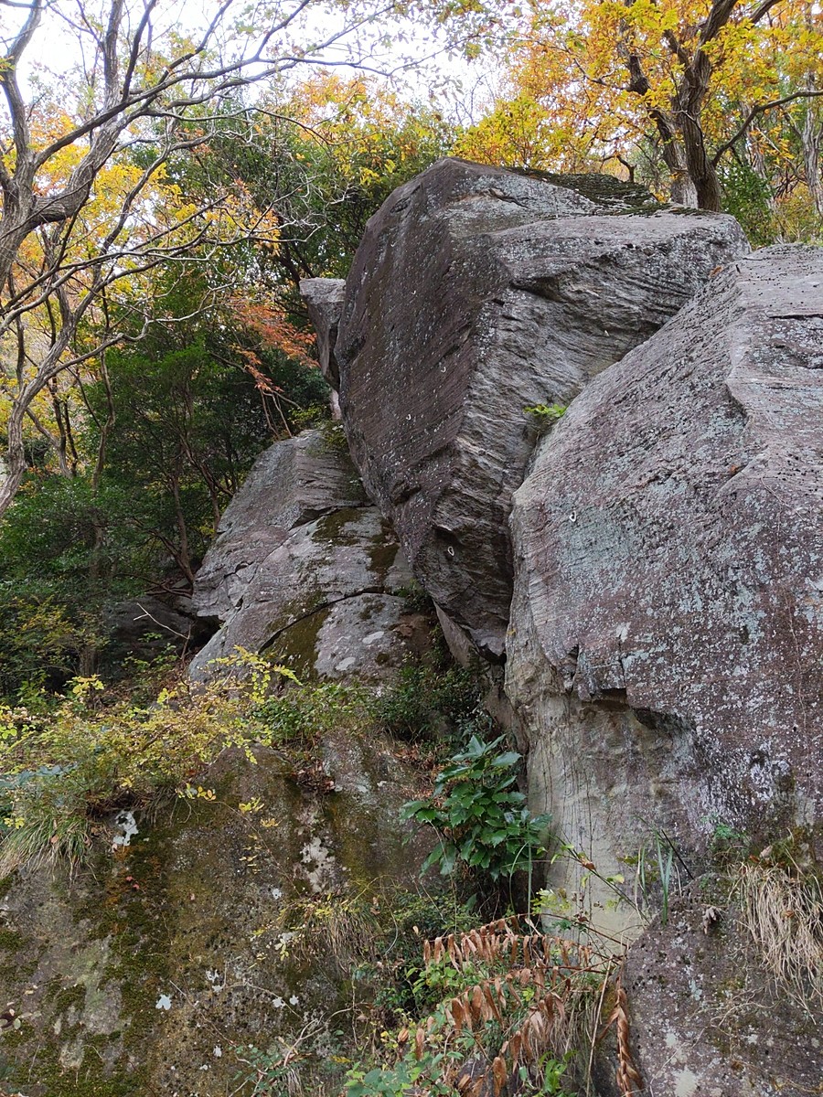
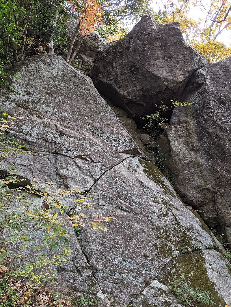
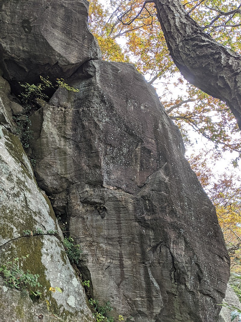
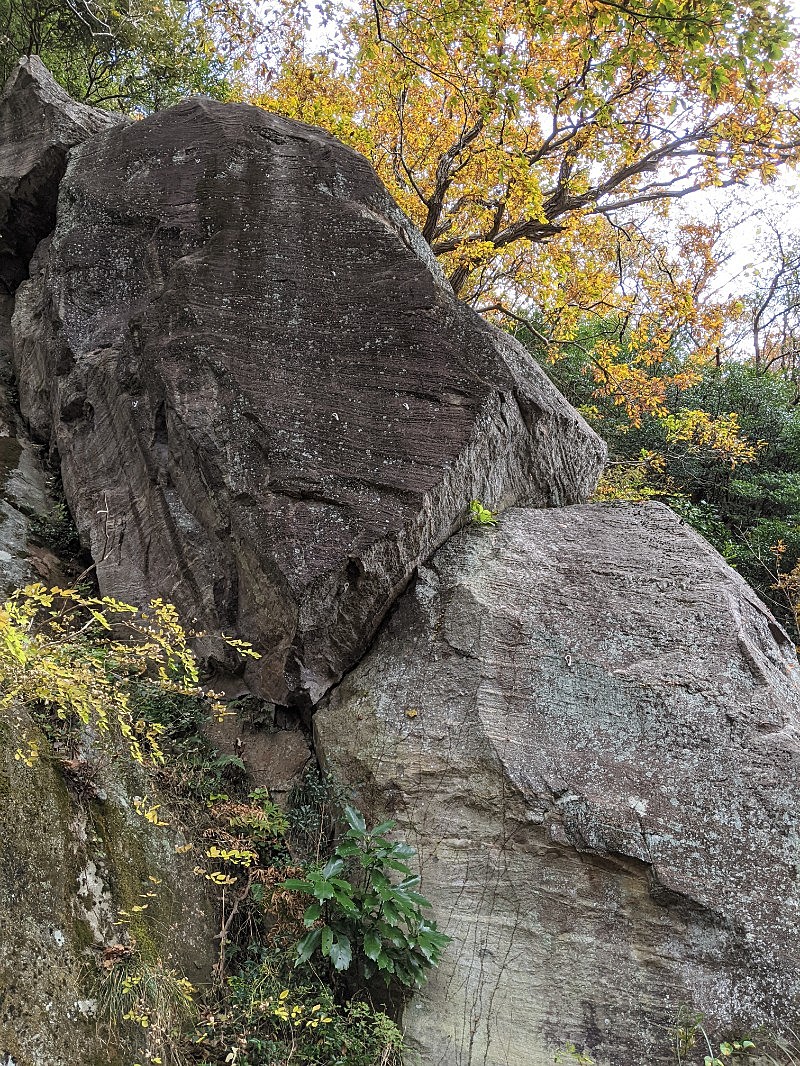
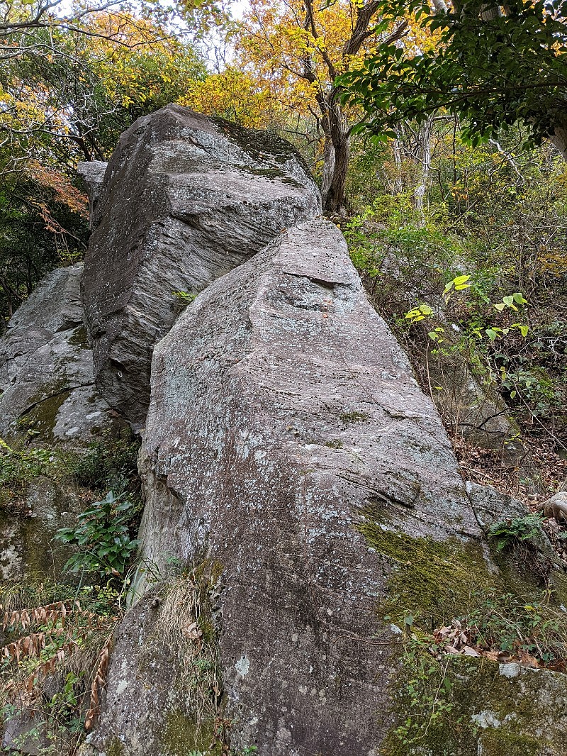
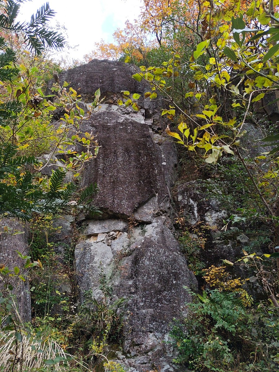
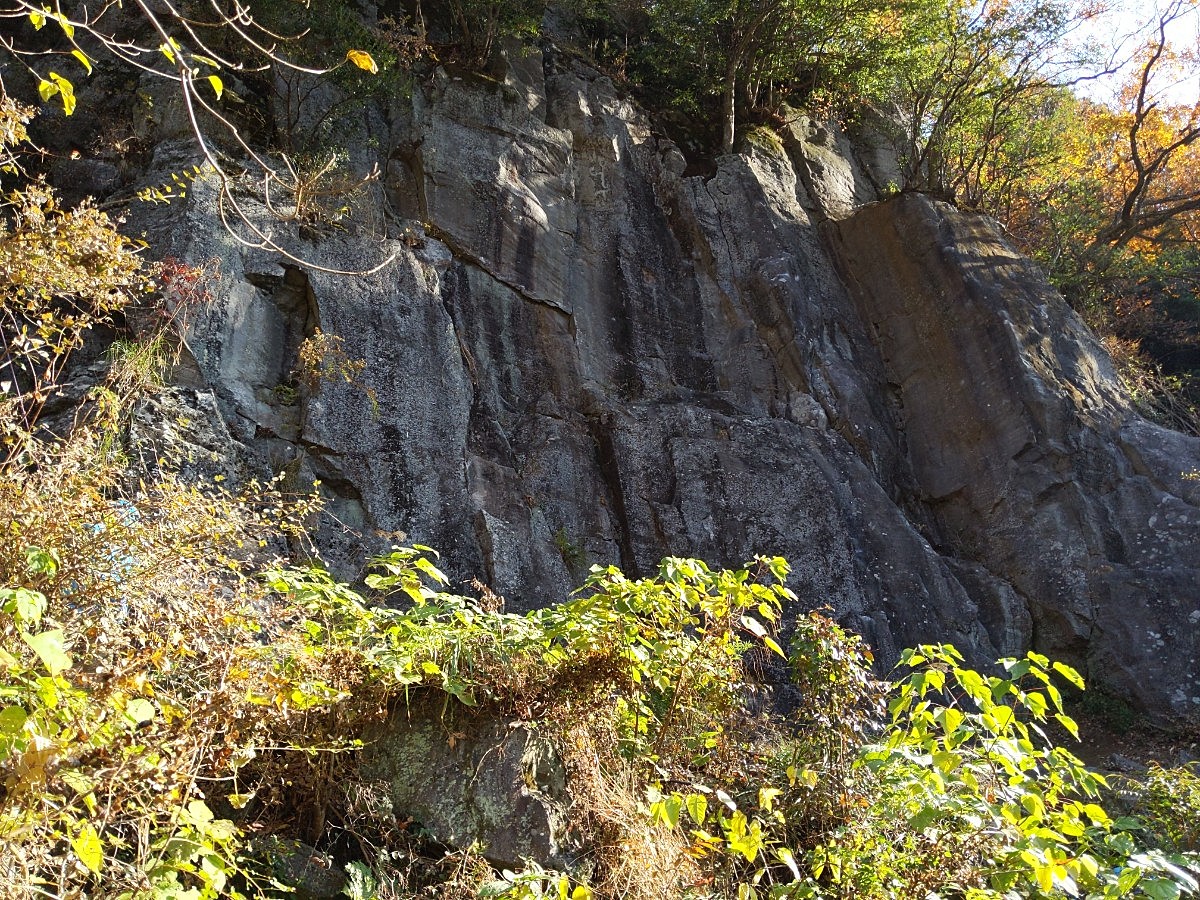
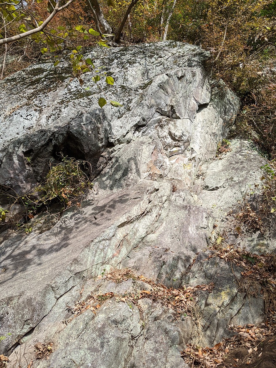
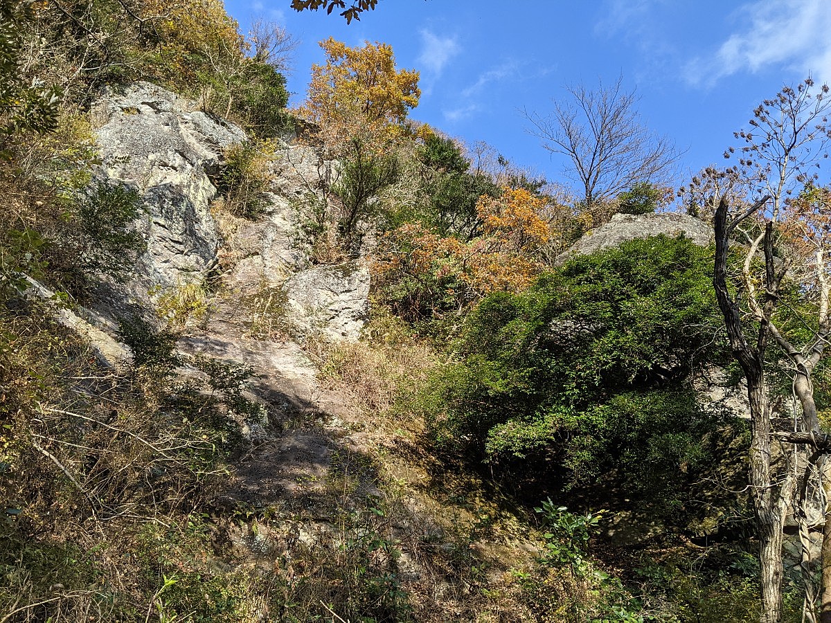
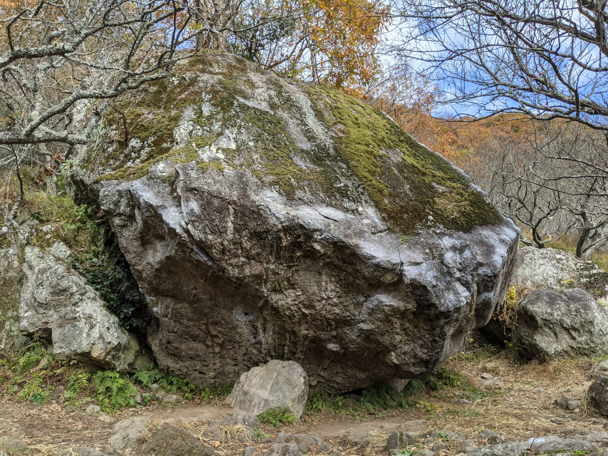
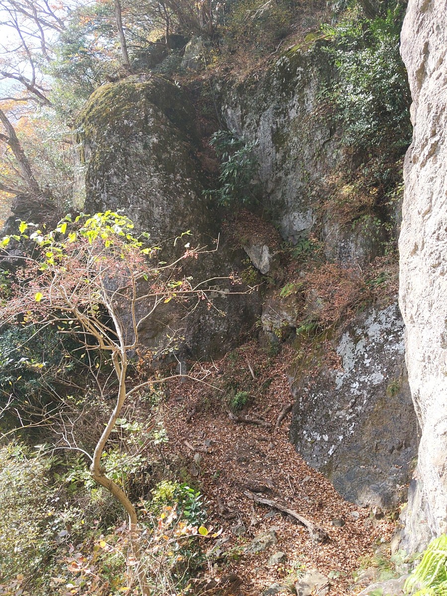
亀甲岩
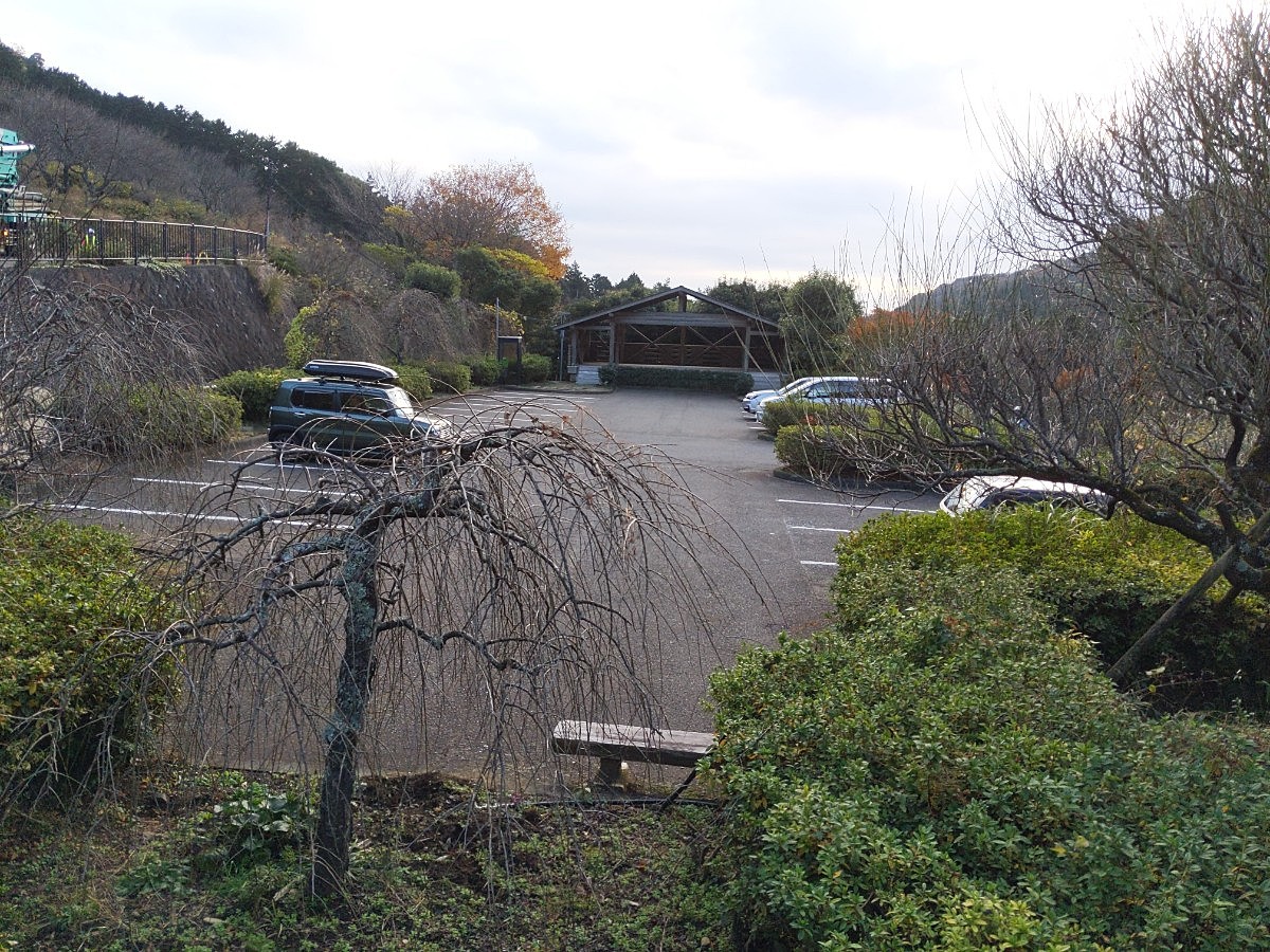
Basic Info
| Area Info | 神奈川県 / 湯河原 |
|---|---|
| GPS Location | 35.1687326,139.0886133 |
| Elevation |
Approx. 275 m
Parking Elevation Approx. 195 m(Diff:80 m) |
| Distance from Parking | 227 m |
Route Distribution
Tap the bar chart to view routes for each grade.
リード(フェイス)(5 routes)Routes
Tap red lines to show route name and grade
簡単
5.10台
5.11台
クラック
フェイス
Loading...
Comments
No comments yet.
Post CommentNearby Crags
ブタさん岩
湯河原
35.1688076
139.0884411
0
0
3
0
0
ブタさん岩
- 湯河原
- タイプ別: F3
- 難易度別: E1 M2
- 駐車場から: 近め 58.2299916091098525
湯河原幕岩・正面壁
湯河原
35.169206510511735
139.08841539933624
16
0
50
8
0
湯河原幕岩・正面壁
16
- 湯河原
- タイプ別: F50 C8
- 難易度別: E23 M27 H8
- 駐車場から: 近め 94.0323337209563958
丹沢広場左の岩
湯河原
35.1695146
139.087763
0
0
2
0
0
丹沢広場左の岩
- 湯河原
- タイプ別: F2
- 難易度別: E2
- 駐車場から: 近め 102.9022677871132446
ニューエリア手前
湯河原
35.16973495565953
139.08751754415616
0
0
9
0
0

ニューエリア手前
- 湯河原
- タイプ別: F9
- 難易度別: E6 M3
- 駐車場から: 近め 149.111465964875379
ウィングスロック
湯河原
35.1694579
139.0900567
2
0
29
0
0
ウィングスロック
2
- 湯河原
- タイプ別: F29
- 難易度別: E17 M8 H4
- 駐車場から: そこそこ 153.9796125103565394
スライドロック
湯河原
35.16983038658407
139.08724516078263
0
0
4
0
0
スライドロック
- 湯河原
- タイプ別: F4
- 難易度別: E3 M1
- 駐車場から: そこそこ 167.0089891889509662
貝殻岩・梅林ボルダー
湯河原
35.16809127766388
139.09038349986076
3
27
0
0
0
貝殻岩・梅林ボルダー
3
- 湯河原
- タイプ別: B27
- 難易度別: E9 M10 H8
- 駐車場から: 近め 34.1105901980263992
サイレントヴァリー
湯河原
35.1695318
139.0904518
3
0
21
0
0
サイレントヴァリー
3
- 湯河原
- タイプ別: F21
- 難易度別: E7 M12 H2
- 駐車場から: そこそこ 174.3115626172139793
Loading...
×